MyTopo
Rathbun Pennsylvania US Topo Map
Couldn't load pickup availability
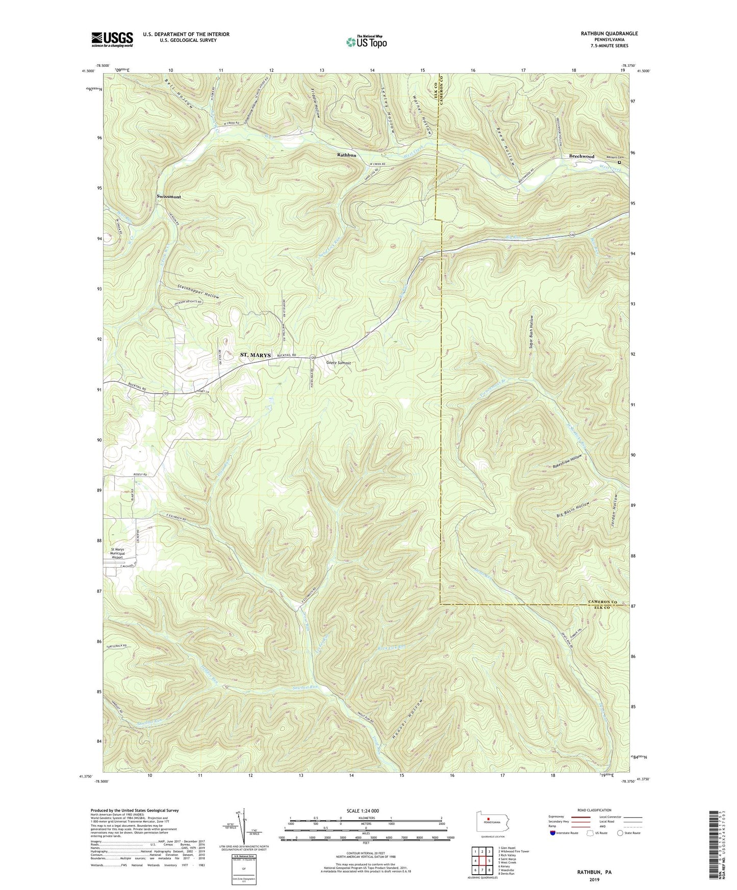
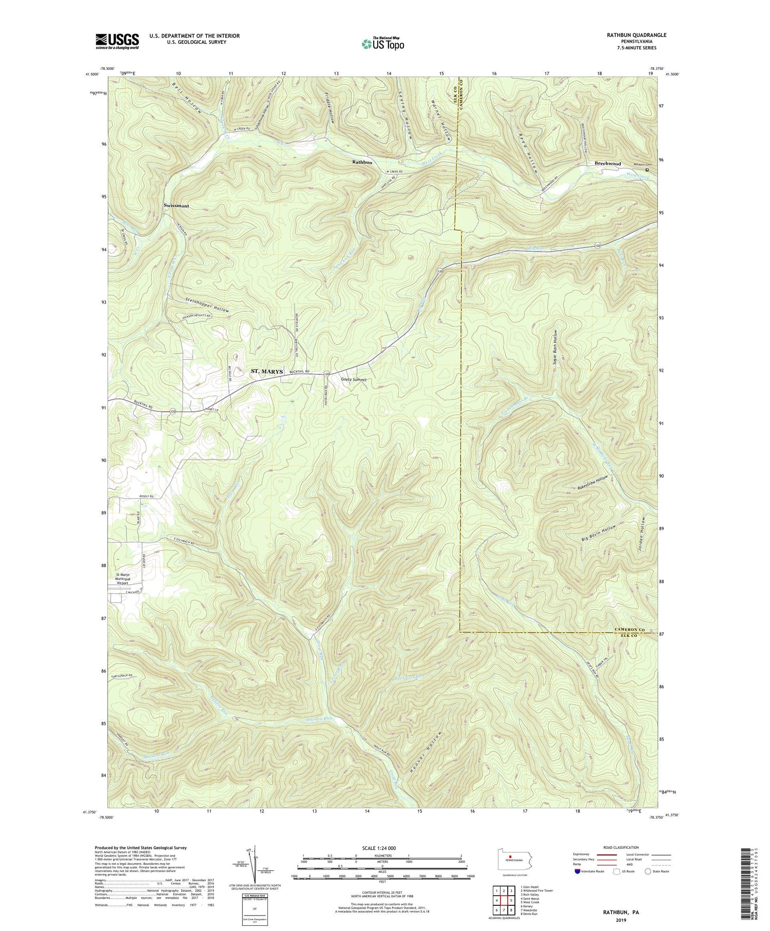
2019 topographic map quadrangle Rathbun in the state of Pennsylvania. Scale: 1:24000. Based on the newly updated USGS 7.5' US Topo map series, this map is in the following counties: Elk, Cameron. The map contains contour data, water features, and other items you are used to seeing on USGS maps, but also has updated roads and other features. This is the next generation of topographic maps. Printed on high-quality waterproof paper with UV fade-resistant inks.
Quads adjacent to this one:
West: Saint Marys
Northwest: Glen Hazel
North: Wildwood Fire Tower
Northeast: Rich Valley
East: West Creek
Southeast: Dents Run
South: Weedville
Southwest: Kersey
Contains the following named places: Bear Run, Bear Run Camp, Beechwood, Bell Hollow, Big Basin Hollow, Frenchmans Branch, Friddle Hollow, Goetz Summit, Hellfire Run, Hemlock Station, Hoover Hollow, Jordan Hollow, Lecker Run, Little Bear Run, Markert Cemetery, North Fork West Creek, Rakestraw Hollow, Rathbun, Rathbun School, Rathbun Station, Reed Hollow, Rock Lick Run, Sand Lick Run, Sawdust Run, Schoolhouse Hollow, Seeley Hollow, South Fork West Creek, State Game Lands Number 293, Steinhopper Hollow, Sugar Bush Hollow, Swissmont, Warner Hollow