MyTopo
Short Run Pennsylvania US Topo Map
Couldn't load pickup availability
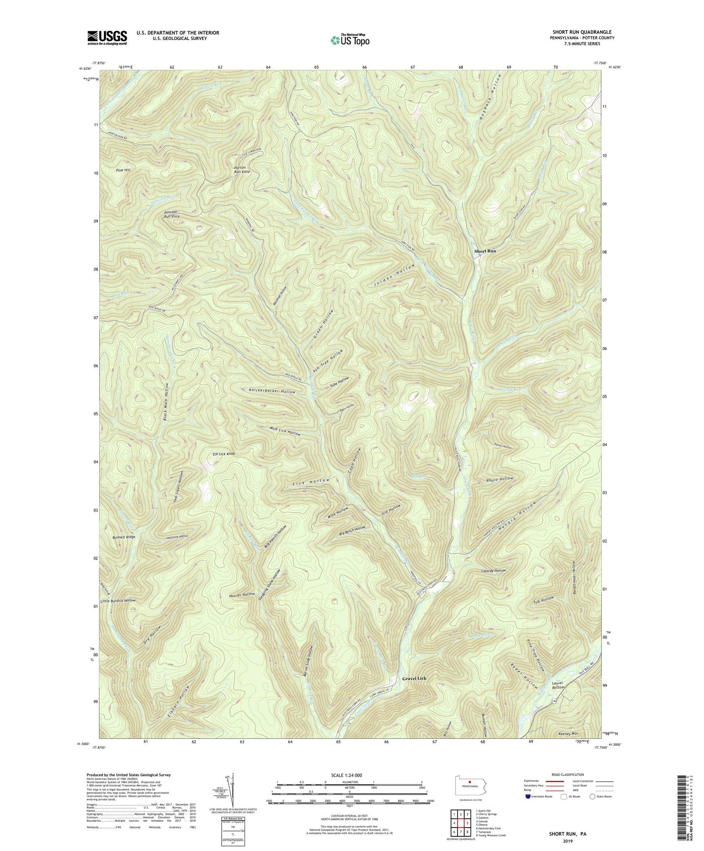
2019 topographic map quadrangle Short Run in the state of Pennsylvania. Scale: 1:24000. Based on the newly updated USGS 7.5' US Topo map series, this map is in the following counties: Potter. The map contains contour data, water features, and other items you are used to seeing on USGS maps, but also has updated roads and other features. This is the next generation of topographic maps. Printed on high-quality waterproof paper with UV fade-resistant inks.
Quads adjacent to this one:
West: Conrad
Northwest: Ayers Hill
North: Cherry Springs
Northeast: Galeton
East: Oleona
Southeast: Young Womans Creek
South: Tamarack
Southwest: Hammersley Fork
Contains the following named places: Abbott, Ash Tree Hollow, Bachman Hollow, Barrel Slide Hollow, Bergstresser Hollow, Big Bench Hollow, Big Run, Black Mark Hollow, Blacksmith Hollow, Bolich Run, Boone Run, Bunnell Run, Cassidy Hollow, Cherry Run, Coon Hollow, Cross Fork Trail, Dry Hollow, Dyke Run, Elk Lick Knob, Elk Lick Run, Elkhorn Hollow, Elkhorn Trail, Gravel Lick, Gravel Lick Run, Gravel Lick Trail, Green Hollow, Hailstone Hollow, Hammersley Trail, Hogback Hollow, Hollow Ridge Trail, Hoover Hollow, Horton Run Trail, Horton Run Vista, Hungry Hollow, Jamison Run Vista, Jordan Hollow, Keeney Hollow, Keeney Mountain, Knickerbocker Hollow, Laurel Bottom, Lick Hollow, Lick Ridge Trail, Little Burdick Hollow, Little Lyman Run, Mink Hollow, Mud Lick Hollow, Parker Hollow, Pine Hill, Pine Tree Hollow, Rebel Hollow, Rhulo Hollow, Ridge Trail, Road District of East Fork, Road Hollow, Robin Hollow, Short Run, Slip Hollow, Splash Dam Trail, Stepping Stone Hollow, Tobe Hollow, Tub Hollow, Twin Sisters Hollows, Twin Sisters Trail, Windfall Run, Wingerter Run, Yochum Run