MyTopo
Sigel Pennsylvania US Topo Map
Couldn't load pickup availability
Also explore the Sigel Forest Service Topo of this same quad for updated USFS data
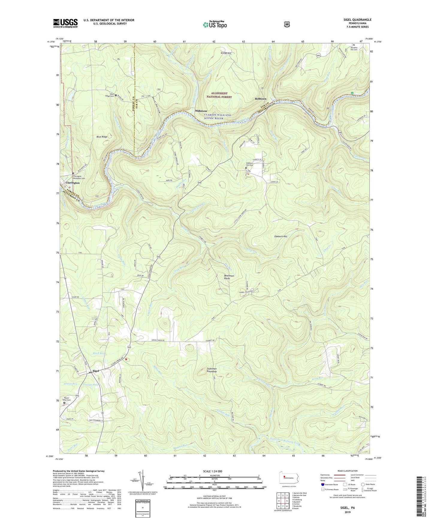
2023 topographic map quadrangle Sigel in the state of Pennsylvania. Scale: 1:24000. Based on the newly updated USGS 7.5' US Topo map series, this map is in the following counties: Jefferson, Elk, Forest. The map contains contour data, water features, and other items you are used to seeing on USGS maps, but also has updated roads and other features. This is the next generation of topographic maps. Printed on high-quality waterproof paper with UV fade-resistant inks.
Quads adjacent to this one:
West: Cooksburg
Northwest: Marienville West
North: Marienville East
Northeast: Hallton
East: Munderf
Southeast: Hazen
South: Brookville
Southwest: Corsica
This map covers the same area as the classic USGS quad with code o41079c1.
Contains the following named places: Beartown Rocks, Beartown Rocks Vista, Belltown, Blue Ridge, Blue Ridge Cemetery, Callen Run, CCC Camp, Clarington, Clarington Methodist Cemetery, Clarion Wild and Scenic River, Clear Creek, Clear Creek State Forest, Clear Creek State Park, Clear Run, Clemens Run, Cline Run, Coalbank Run, Dark Hollow, Dice Run, Donahey Hill Cemetery, Donathey Church, Dry Run, East Branch Millstone Creek, Edeburn Church, Edeburn Hill, Edeburn Hill Cemetery, English Run, Gregg Hill, Gregg Run, Heath Pumping Station, Hemlock Trail, Hoffman Run, Jefferson County Gas Company Pumping Station, Johns Run, Leech School, Leeper Run, Little Clear Creek, Little Clear Creek Trail, Miller Run, Millstone, Millstone Creek, Mount Tabor Cemetery, Oak Ridge Trail, Phyllis Run, Pine Run, Pine Run Trail, Shippen Run, Shippen School, Sigel, Sigel Post Office, Sigel Volunteer Fire Department Station 14, Silvis Trail, Stahlman Roundtop, Tadler Run, Tarkiln Run, Township of Heath, Trap Run, Truby Run, Truman Pond, United Gas Company Pumping Station, Wagon Box Trail, Wallace School, West Branch Millstone Creek, Windfall Run, Winlack Run, Work Run, Wyncoop Run, ZIP Code: 15860


