MyTopo
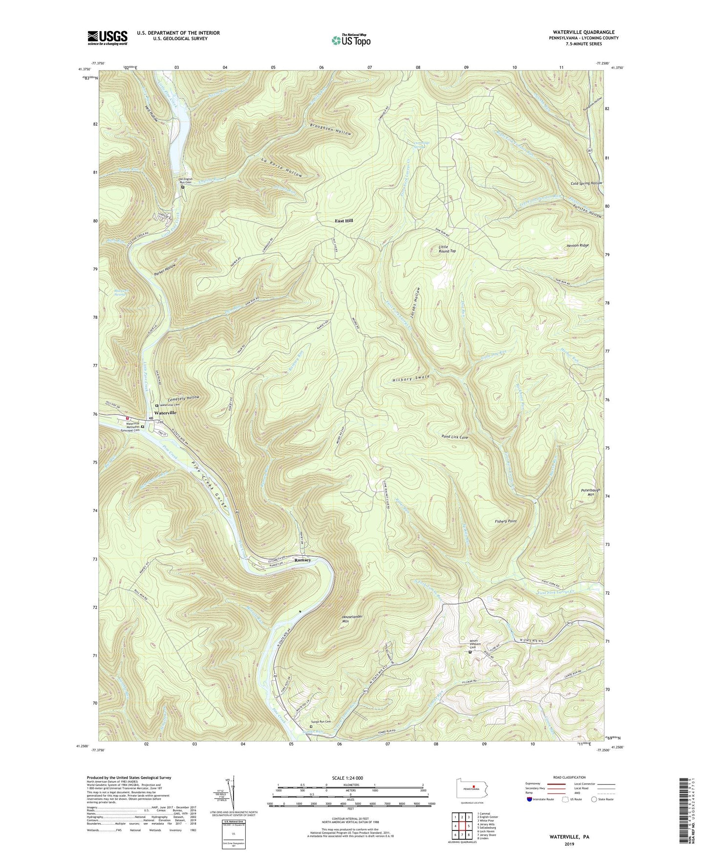
Waterville Pennsylvania US Topo Map
Couldn't load pickup availability
2023 topographic map quadrangle Waterville in the state of Pennsylvania. Scale: 1:24000. Based on the newly updated USGS 7.5' US Topo map series, this map is in the following counties: Lycoming. The map contains contour data, water features, and other items you are used to seeing on USGS maps, but also has updated roads and other features. This is the next generation of topographic maps. Printed on high-quality waterproof paper with UV fade-resistant inks.
Quads adjacent to this one:
West: Jersey Mills
Northwest: Cammal
North: English Center
Northeast: White Pine
East: Salladasburg
Southeast: Linden
South: Jersey Shore
Southwest: Lock Haven
This map covers the same area as the classic USGS quad with code o41077c3.
Contains the following named places: Baldwin Trail, Bear Path Trail, Blackwell Swamp, Bonnell Run, Boone Run, Broughton Hollow, Brown Trail, Buckhorn Run, Bull Run, Bush Run, Buttonwood Run, Camp Kline, Canoe Run School, Carson Run, CCC Camp, Cemetery Hollow, Centennial Church, Clark Hollow Trail, Cold Spring Hollow, Conner Trail, Cummings Spring, Dam Run, Dog Run, Eagle Trail, East Hill, English Mills, English Run, Fishery Point, Flow Dam Trail, Frieden Church, Gamble Fork, Gamble Run Trail, Hell Hollow, Henson Ridge, Hickory Swale, Houselander Mountain, Jacobs Hollow, La Porte Hollow, Lawshe Run, Left Fork Funston Run, Little Dog Run, Little Pine Creek, Little Pine Creek State Park Reservoir, Little Pine Dam, Little Pine Picnic Area, Little Round Top, Love Run, Marsh Run, Mount Pleasant Cemetery, Mount Pleasant Church, Naval Run, Naval Trail, North Fork Tombs Run, Old English Run Cemetery, Parker Hollow, Pesto Trail, Pond Lick Cove, Puterbaugh Mountain, Ramsey, Ramsey Run, Ramsey Trail, Right Fork Funston Run, Ritter Run, Spike Buck Trail, Tarkiln Run, Thompson Hollow, Tiadaghton Trail, Tombs Run, Tombs Run Cemetery, Township of Cummings, Township of Watson, Waterville, Waterville Cemetery, Waterville Methodist Episcopal Cemetery, Waterville Post Office, Waterville Volunteer Fire Company Station 28


