MyTopo
Isla De Vieques East Puerto Rico US Topo Map
Couldn't load pickup availability
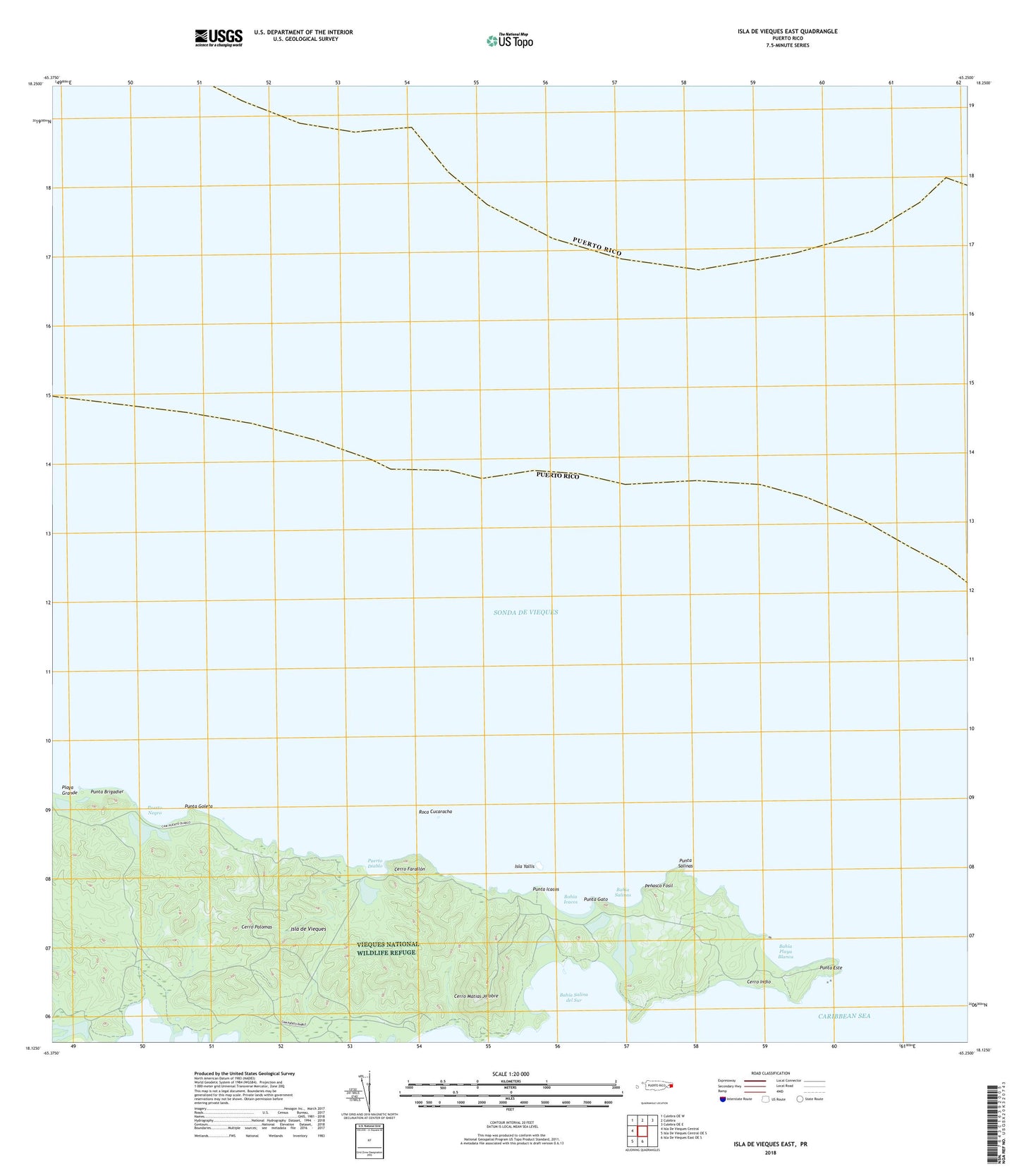
2024 topographic map quadrangle Isla De Vieques East in the state of Puerto Rico. Scale: 1:20000. Based on the newly updated USGS 7.5' US Topo map series, this map is in the following counties: Humacao, Vieques, Culebra. The map contains contour data, water features, and other items you are used to seeing on USGS maps, but also has updated roads and other features. This is the next generation of topographic maps. Printed on high-quality waterproof paper with UV fade-resistant inks.
Quads adjacent to this one:
West: Isla De Vieques Central
Northwest: Culebra OE W
North: Culebra
Northeast: Culebra OE E
South: Isla De Vieques East OE S
Southwest: Isla De Vieques Central OE S
Contains the following named places: Bahia Icacos, Bahia Playa Blanca, Bahia Salina del Sur, Bahia Salinas, Cerro Farallon, Cerro Indio, Cerro Matias Jalobre, Cerro Palomas, Isla Yallis, Laguna Algodones, Laguna Anones, Laguna Monte Largo, Laguna Puerto Diablo, Laguna Yanuel, Penasco Fosil, Playa Grande, Puerto Diablo, Puerto Diablo Barrio, Puerto Negro, Punta Brigadier, Punta Este, Punta Gato, Punta Goleta, Punta Icacos, Punta Salinas, Roca Cucaracha