MyTopo
Barnwell South Carolina US Topo Map
Couldn't load pickup availability
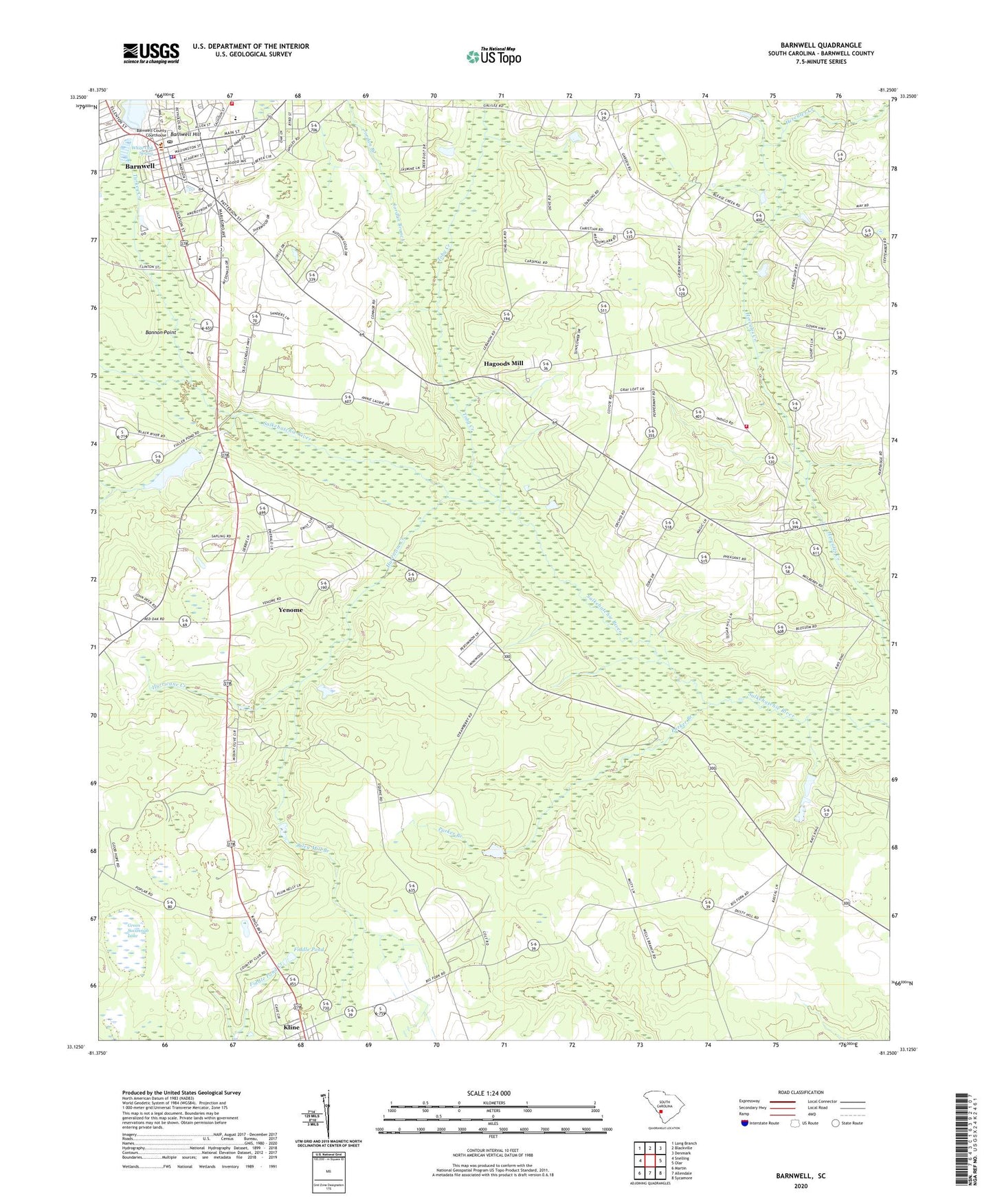
2024 topographic map quadrangle Barnwell in the state of South Carolina. Scale: 1:24000. Based on the newly updated USGS 7.5' US Topo map series, this map is in the following counties: Barnwell. The map contains contour data, water features, and other items you are used to seeing on USGS maps, but also has updated roads and other features. This is the next generation of topographic maps. Printed on high-quality waterproof paper with UV fade-resistant inks.
Quads adjacent to this one:
West: Snelling
Northwest: Long Branch
North: Blackville
Northeast: Denmark
East: Olar
Southeast: Sycamore
South: Allendale
Southwest: Martin
This map covers the same area as the classic USGS quad with code o33081b3.
Contains the following named places: Bannon Point, Barnwell, Barnwell Academy, Barnwell County Emergency Management Office, Barnwell County Fire Coordinator, Barnwell County Library, Barnwell Division, Barnwell Elementary School, Barnwell Fire Department, Barnwell High School, Barnwell Hill, Barnwell Mennonite Church, Barnwell Police Department, Barnwell Post Office, Barnwell Presbyterian Church, Barnwell Rural Fire Department, Barnwell Station, Barnwell United Methodist Church, Bethlehem Baptist Church, Big Fork Church, Big Forks School, Carter Plaza Shopping Center, Chaney Grove Church, Church of God, City of Barnwell, Edgar A Brown Dam D-3064, Episcopal Church of the Holy Apostles, Fiddle Pond, First Assembly of God Church, First Baptist Church, Friendship Baptist Church, Friendship Fire Department, Friendship School, Fuller Pond, Fuller Pond Dam D-3065, Galilee School, Gospel Mission, Green Branch Church, Green Savannah Lake, Grubbs Mission, Hagood Avenue Baptist Church, Hagoods Mill, Happy Bottom, Hells Half Acre, Hercules School, Hurricane Creek, Jordan Branch, Kline, Morris Chapel, Morris Chapel School, Morris School, Mount Lebanon Church, Mount Olivet Baptist Church, Parker Branch, Riley Mill Branch, Saint Andrews Roman Catholic Church, Sanders Old Mill, Second Baptist Church, Second Mount Olive Baptist Church, Short Staple Plantation, South Carolina State Government Law Enforcement Office, Toby Creek, Town of Kline, Turkey Creek, Union Church, WBAW-AM (Barnwell), WBAW-FM (Barnwell), White Oak Spring, Yenome


