MyTopo
Bush River South Carolina US Topo Map
Couldn't load pickup availability
Also explore the Bush River Forest Service Topo of this same quad for updated USFS data
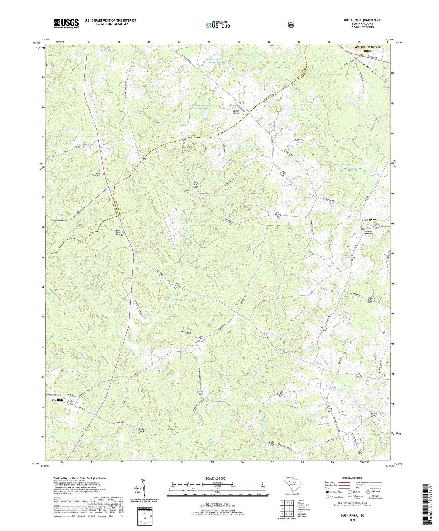
2024 topographic map quadrangle Bush River in the state of South Carolina. Scale: 1:24000. Based on the newly updated USGS 7.5' US Topo map series, this map is in the following counties: Newberry, Laurens. The map contains contour data, water features, and other items you are used to seeing on USGS maps, but also has updated roads and other features. This is the next generation of topographic maps. Printed on high-quality waterproof paper with UV fade-resistant inks.
Quads adjacent to this one:
West: Cross Hill
Northwest: Clinton
North: Joanna
Northeast: Newberry NW
East: Newberry West
Southeast: Silverstreet
South: Chappells
Southwest: Dyson
This map covers the same area as the classic USGS quad with code o34081c7.
Contains the following named places: Adams Pond D-1467 Dam, Bedenbaugh Pond Dam Number One D-3003, Bedenbaugh Pond Dam Number Two D-3002, Bedenbaugh Pond Number One, Bedenbaughs Pond Number Two, Belfast School, Belmont School, Boyd Pond Dam D-3004, Boyds Pond, Bush River, Bush River Baptist Church, Bush River Quaker Cemetery, Bush River School, Connelly Field, Dominick School, Fairview Church, Garrison Creek, Harmons Mill, Joanna Fire Department Station 2 - Belfast, Little River Cemetery, Little River Church, Longshore Number One D-1468 Dam, Longshore Number Two D-1469 Dam, Mills Creek, Mudlick, Mudlick School, Quaker Creek, Reeder Branch, Sandhill Farms Pond, Sexton Airport, Silverstreet Lookout Tower, Smiths Pond, Smiths Pond D-1668 Dam, South Carolina Noname 36012 Dam, ZIP Code: 29355