MyTopo
Dyson South Carolina US Topo Map
Couldn't load pickup availability
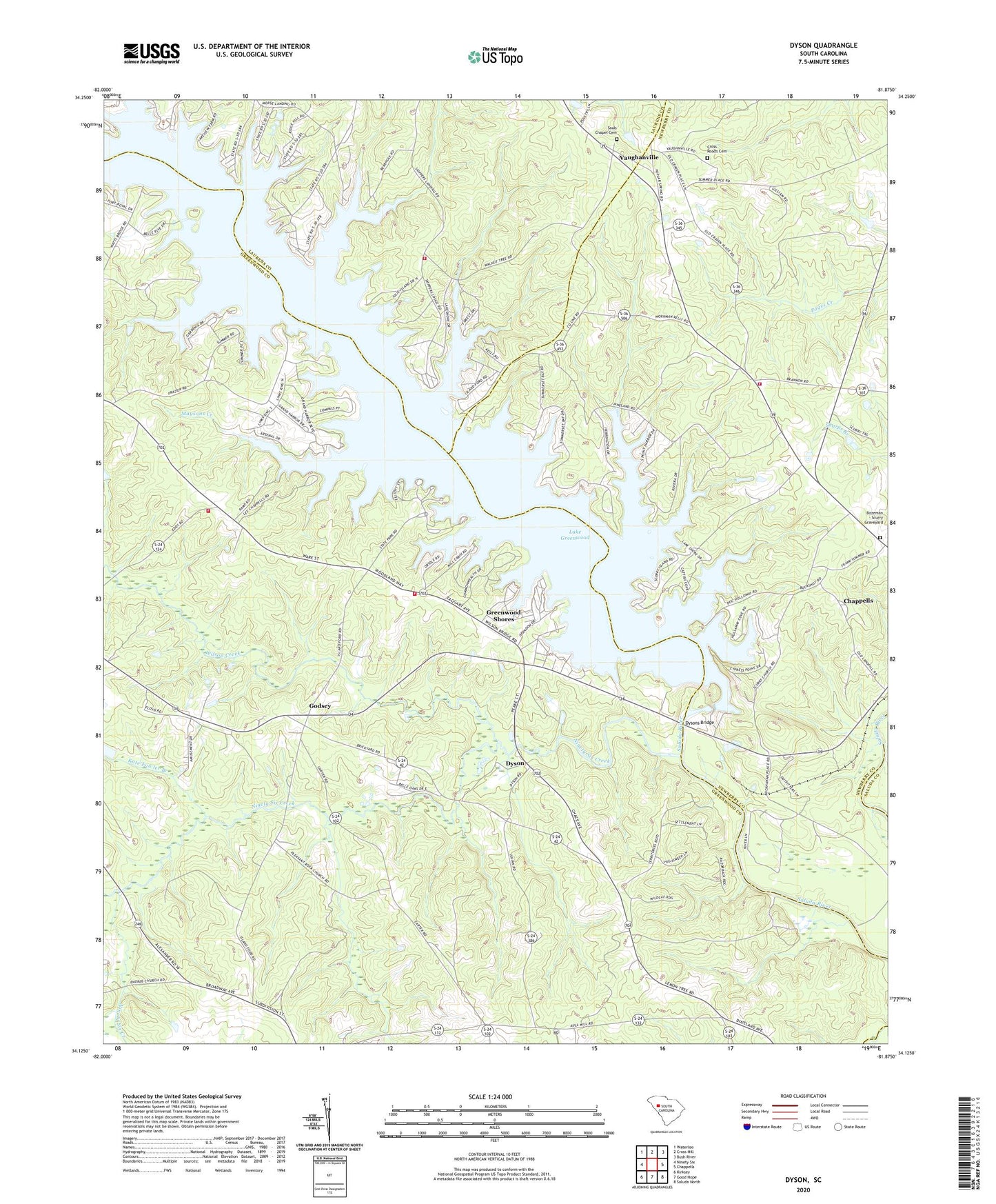
2024 topographic map quadrangle Dyson in the state of South Carolina. Scale: 1:24000. Based on the newly updated USGS 7.5' US Topo map series, this map is in the following counties: Greenwood, Newberry, Laurens, Saluda. The map contains contour data, water features, and other items you are used to seeing on USGS maps, but also has updated roads and other features. This is the next generation of topographic maps. Printed on high-quality waterproof paper with UV fade-resistant inks.
Quads adjacent to this one:
West: Ninety Six
Northwest: Waterloo
North: Cross Hill
Northeast: Bush River
East: Chappells
Southeast: Saluda North
South: Good Hope
Southwest: Kirksey
This map covers the same area as the classic USGS quad with code o34081b8.
Contains the following named places: Anderson Ferry, Anglers Haven, Bozeman - Scurry Graveyard, Brown Chapel, Chiles Ferry, Cross Roads Cemetery, Cross Roads Church, Dyson, Dysons Bridge, Enoree Zion Church, Enoree Zion Church Cemetery, Godsey, Greenwood Shores, Greenwood State Park, Henley Creek, Kate Fowler Branch, Kinard School, Lake Greenwood Buzzard Roost Dam, Laurens County Fire Department Cross Hill Station 3, Lower Lake Greenwood Fire Station, Lower Lake Greenwood Fire Station 60, Maysons Creek, Maysons Mill, Mount Carmel Church, Mount Carmel Church Cemetery, Newberry County Rural Fire Department Chappells, Ninety Six Creek, Ninety Six Division, Pentecostal Mission, Pine Pleasant Church, Pine Pleasant School, Pleasant Rock Church, Pleasant Rock Church Cemetery, Salem Church, Salem School, Saluda Church, Sauls Chapel Cemetery, Scurry, Scurry-Spring Hill Church, Soule Chapel Church, Vaughanville, Vaughanville School, Wesley Chapel, Wilson Creek