MyTopo
Cedar Creek South Carolina US Topo Map
Couldn't load pickup availability
Also explore the Cedar Creek Forest Service Topo of this same quad for updated USFS data
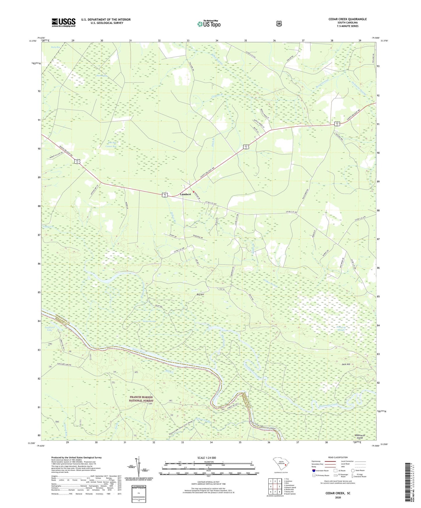
2024 topographic map quadrangle Cedar Creek in the state of South Carolina. Scale: 1:24000. Based on the newly updated USGS 7.5' US Topo map series, this map is in the following counties: Georgetown, Berkeley. The map contains contour data, water features, and other items you are used to seeing on USGS maps, but also has updated roads and other features. This is the next generation of topographic maps. Printed on high-quality waterproof paper with UV fade-resistant inks.
Quads adjacent to this one:
West: Jamestown
Northwest: Trio
North: Andrews
Northeast: Olin
East: Kilsock Island
Southeast: South Santee
South: Honey Hill
Southwest: Shulerville
This map covers the same area as the classic USGS quad with code o33079c5.
Contains the following named places: Big Hill, Bino Bay, Canaan Bay, Canaan Branch, Cedar Creek School, Crabapple Branch, Dawhoo Lake, Ditch Branch, Doe Landing, Echaw Creek, Foot Log Slough, Fosters Landing, Gal Branch, Georgetown Fire Department Station 7, Guilliard Lake, Guilliard Lake Recreation Site, Jack Hill, Lambert, Mackey Bay, Mill Creek, Price Landing, Prices Landing, Put-on Branch, Saint Paul School, Saints Delight Church, Santee Swamp, Summons Swamp, The Cutoff, Trinity Lutheran Church, Wadmacon Island, Wilkes Branch