MyTopo
Chicora South Carolina US Topo Map
Couldn't load pickup availability
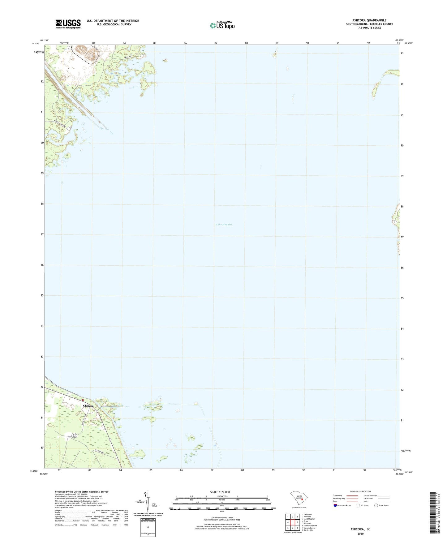
2020 topographic map quadrangle Chicora in the state of South Carolina. Scale: 1:24000. Based on the newly updated USGS 7.5' US Topo map series, this map is in the following counties: Berkeley. The map contains contour data, water features, and other items you are used to seeing on USGS maps, but also has updated roads and other features. This is the next generation of topographic maps. Printed on high-quality waterproof paper with UV fade-resistant inks.
Quads adjacent to this one:
West: Cross
Northwest: Eadytown
North: Pineville
Northeast: Saint Stephen
East: Bonneau
Southeast: Cordesville
South: Moncks Corner
Southwest: Summerville NW
Contains the following named places: Antioch School, Bannister Down Branch, Bethel Church, Blackoak Church, Bonneau Beach, Chapel Hill, Chicora, Church of Our Lord, Cross Fire Department Station 3, Emanuel Church, Ferguson Swamp, Fountain Branch, Fuller Bay, Good Shepherd Church, Greenhill Branch, Hog Swamp, Hog Swamp School, Jerusalem Church, Lake Moultrie, Mission School, Moorfield Swamp, Moultrie Canal, North Hampton Plantation, North Hampton School, Ophir Canal, Pooshee Plantation, Reconciliation Church, Richardson Branch, Rockaway Church, Stewarton School, Wards Plantation, Waring Branch, Warwick Swamp, West Dike, White Point Beach, Whitebridge School, Whitehall Plantation, Woodlawn Plantation, ZIP Code: 29469