MyTopo
Clear Pond South Carolina US Topo Map
Couldn't load pickup availability
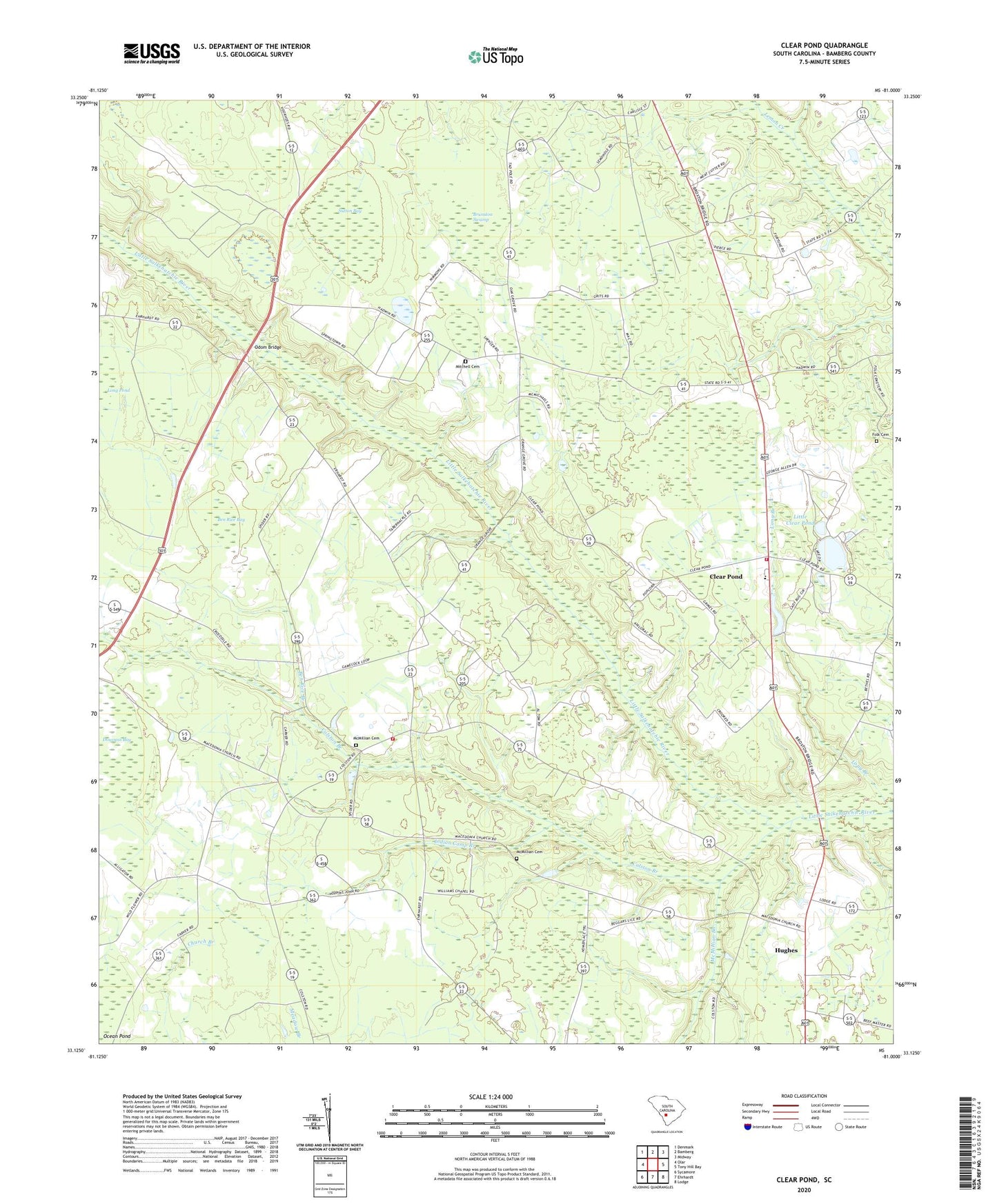
2024 topographic map quadrangle Clear Pond in the state of South Carolina. Scale: 1:24000. Based on the newly updated USGS 7.5' US Topo map series, this map is in the following counties: Bamberg. The map contains contour data, water features, and other items you are used to seeing on USGS maps, but also has updated roads and other features. This is the next generation of topographic maps. Printed on high-quality waterproof paper with UV fade-resistant inks.
Quads adjacent to this one:
West: Olar
Northwest: Denmark
North: Bamberg
Northeast: Midway
East: Tony Hill Bay
Southeast: Lodge
South: Ehrhardt
Southwest: Sycamore
This map covers the same area as the classic USGS quad with code o33081b1.
Contains the following named places: Andrew Jackson Academy, Bamberg County, Ben Rice Bay, Ben Rice Branch, Brunston Swamp, Carver School, Clear Pond, Clear Pond Fire Department Station 4, Clear Pond School, Coggins Grove Church, Colston Baptist Church, Colston Branch, Colston Fire Department Station 2, Colston School, Doussoss Bay, Duncanville School, Folk Cemetery, Hampton Grove Church, Hampton School, Hughes, Indian Camp Branch, Little Clear Pond, Long Branch, Macedonia Baptist Church, McMillans Pond Dam D-2818, McMillian Branch, McMillian Cemetery, Mitchell Cemetery, Mount Pleasant Church, Odom Bridge, Orange Grove Church, Pleasant Hill Church, Priesters Pond Dam D-2821, Springtown, Springtown Baptist Church, Sutton Bay, Sweet Gum School, Union Baptist Church, Union School, Williams Chapel Baptist Church, ZIP Code: 29003