MyTopo
Cokesbury South Carolina US Topo Map
Couldn't load pickup availability
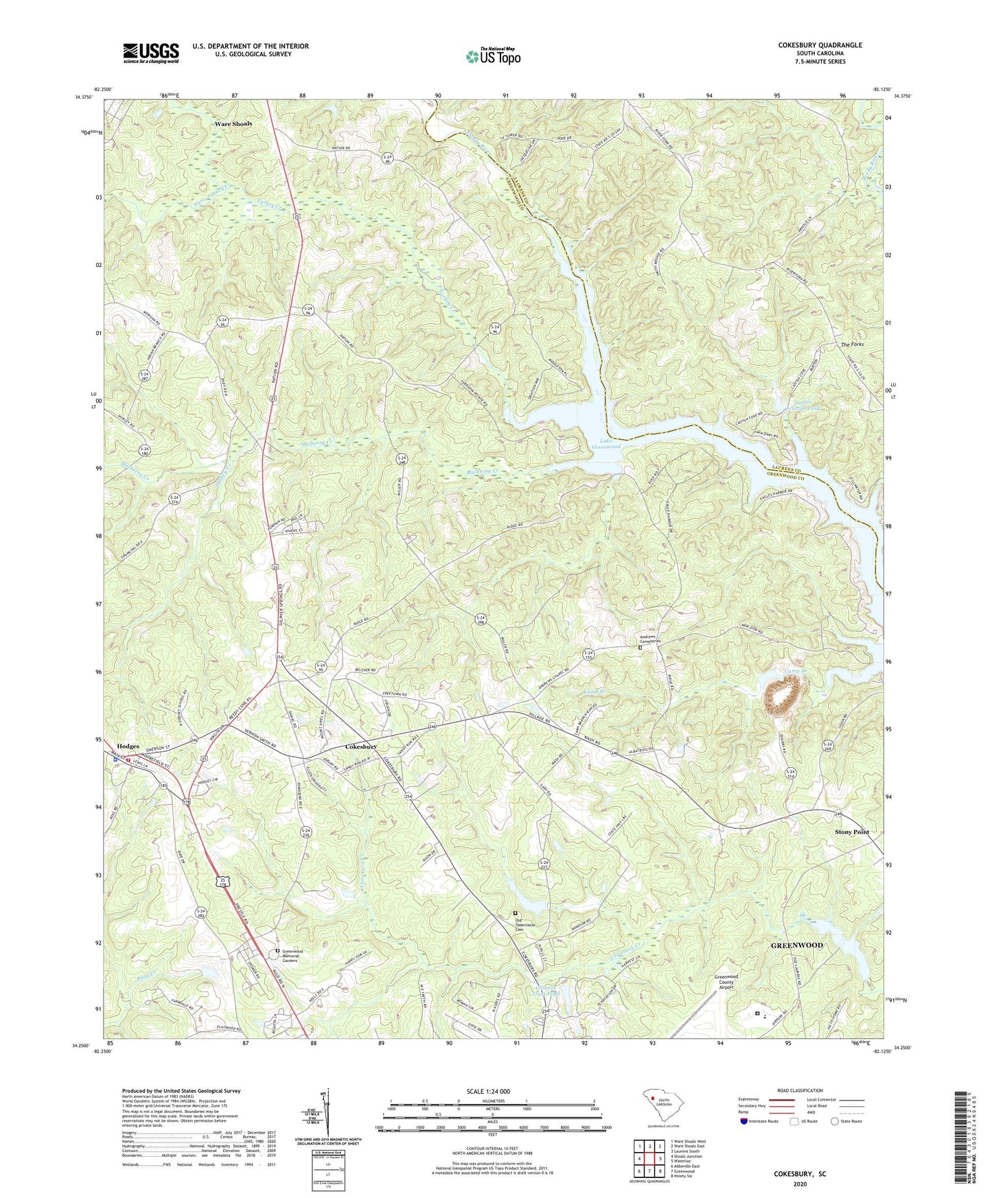
2024 topographic map quadrangle Cokesbury in the state of South Carolina. Scale: 1:24000. Based on the newly updated USGS 7.5' US Topo map series, this map is in the following counties: Greenwood, Laurens. The map contains contour data, water features, and other items you are used to seeing on USGS maps, but also has updated roads and other features. This is the next generation of topographic maps. Printed on high-quality waterproof paper with UV fade-resistant inks.
Quads adjacent to this one:
West: Shoals Junction
Northwest: Ware Shoals West
North: Ware Shoals East
Northeast: Laurens South
East: Waterloo
Southeast: Ninety Six
South: Greenwood
Southwest: Abbeville East
This map covers the same area as the classic USGS quad with code o34082c2.
Contains the following named places: Andrew Chapel Methodist Church, Andrews Cemeteries, Andrews Chapel, Andrews Chapel School, Bethel Grove School, Camp McElveer, Citizens Trust Pond, Cokesbury, Cokesbury Baptist Church, Cokesbury Census Designated Place, Cokesbury Hills Golf Course, Doctor Scurrys Pond, Donaldson Air Force Base Recreation Area, Dudley Creek, Good Hope Church, Good Hope School, Greenwood Memorial Gardens, Greenwood Quarry, Greenwood Reservoir, Hodges, Hodges - Cokesbury Fire Department Station 40, Hodges Lookout Tower, Hodges Police Department, Holy Spring Church, Irving, Leath Correctional Institution, Little Turkey Creek, Macedonia Church, Mulberry Creek, New Zion Church, New Zion School, North Hills Estates, North Hodges School, Old Cokesbury College, Old Tabernacle Cemetery, Reedy Grove Church, Rocky Mountain School, Roman Acres, Rose of Sharon Church, Saint Pauls Church, Smith Bridge, South Carolina Noname 24001 D-1257 Dam, South Carolina Noname 24002 D-1258 Dam, South Carolina Noname 24015 D-1269 Dam, South Carolina Noname 24016 D-1270 Dam, South Carolina Noname 30004 D-2971 Dam, Stony Point, Tabernacle Church, Town of Hodges, Turkey Creek, Walnut Grove Church, Walnut Grove School, Ware Shoals-Hodges Division, WNEH-TV (Greenwood), ZIP Code: 29653


