MyTopo
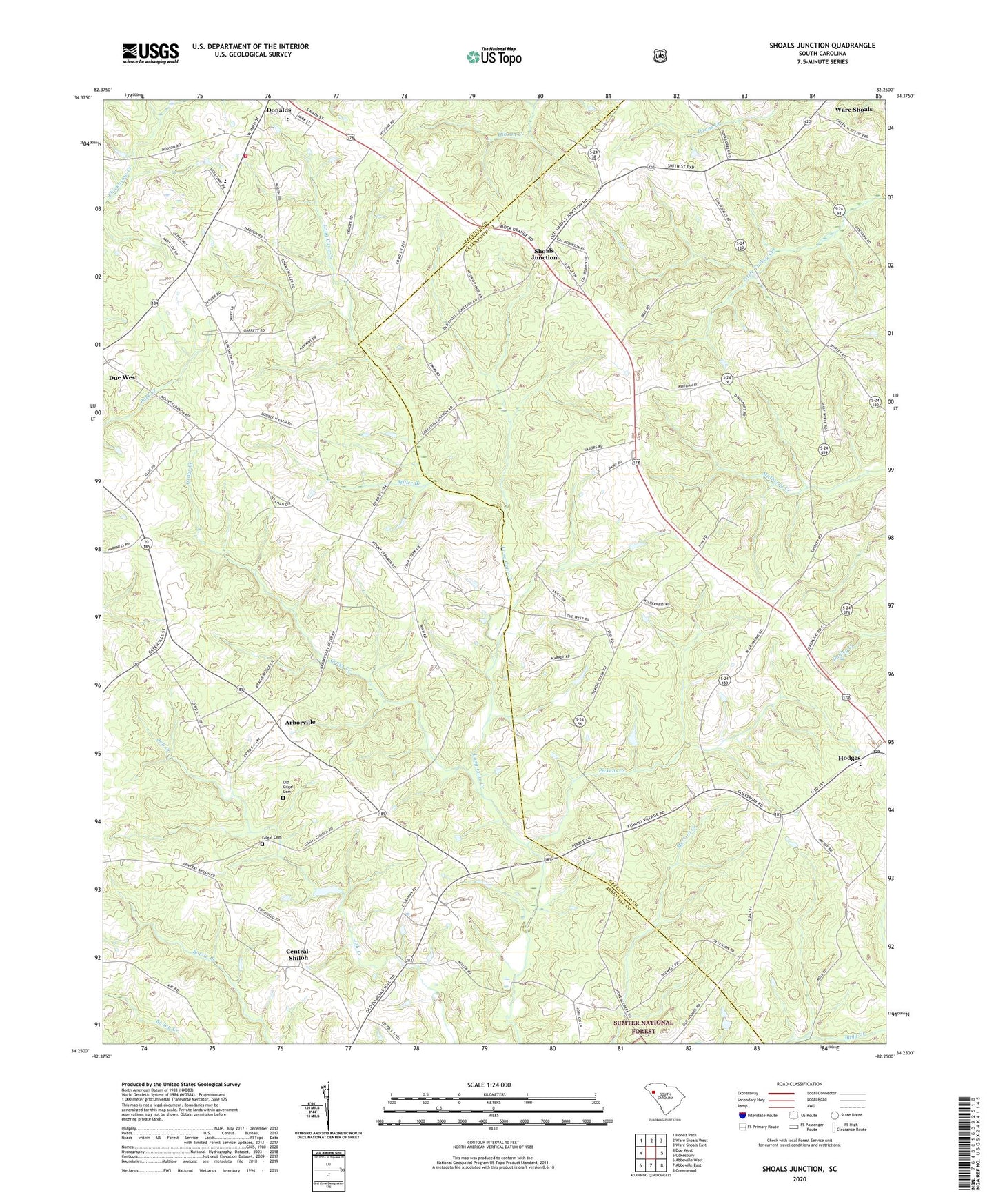
Shoals Junction South Carolina US Topo Map
Couldn't load pickup availability
Also explore the Shoals Junction Forest Service Topo of this same quad for updated USFS data
2024 topographic map quadrangle Shoals Junction in the state of South Carolina. Scale: 1:24000. Based on the newly updated USGS 7.5' US Topo map series, this map is in the following counties: Abbeville, Greenwood. The map contains contour data, water features, and other items you are used to seeing on USGS maps, but also has updated roads and other features. This is the next generation of topographic maps. Printed on high-quality waterproof paper with UV fade-resistant inks.
Quads adjacent to this one:
West: Due West
Northwest: Honea Path
North: Ware Shoals West
Northeast: Ware Shoals East
East: Cokesbury
Southeast: Greenwood
South: Abbeville East
Southwest: Abbeville West
This map covers the same area as the classic USGS quad with code o34082c3.
Contains the following named places: Abbeville County Fire Department Donalds, Algary, Algary School, Arbonville School, Arborville, Black, Brick House, Central School, Central-Shiloh, Cross Roads School, Donalds Elementary SChool, Donalds High School, Douglas Mill, Drake, Gilgal, Gilgal Cemetery, Gilgal Church, Grays Creek, Greenville Presbyterian Church, Gypsy Creek, Hagen School, Hammett, Leith Church, Leith School, Mays Pond Dam D-3038, Miller Branch, Mose Chapel, Mount Lebanon Church, Mount Zion School, Mount Zion United Presbyterian Church, Oak Grove School, Old Gilgal Cemetery, Pickens Creek, Pine Grove Church, Shoals Junction, Simmons, Tinsley, West Hodges Intermediate School, ZIP Code: 29638