MyTopo
Ware Shoals East South Carolina US Topo Map
Couldn't load pickup availability
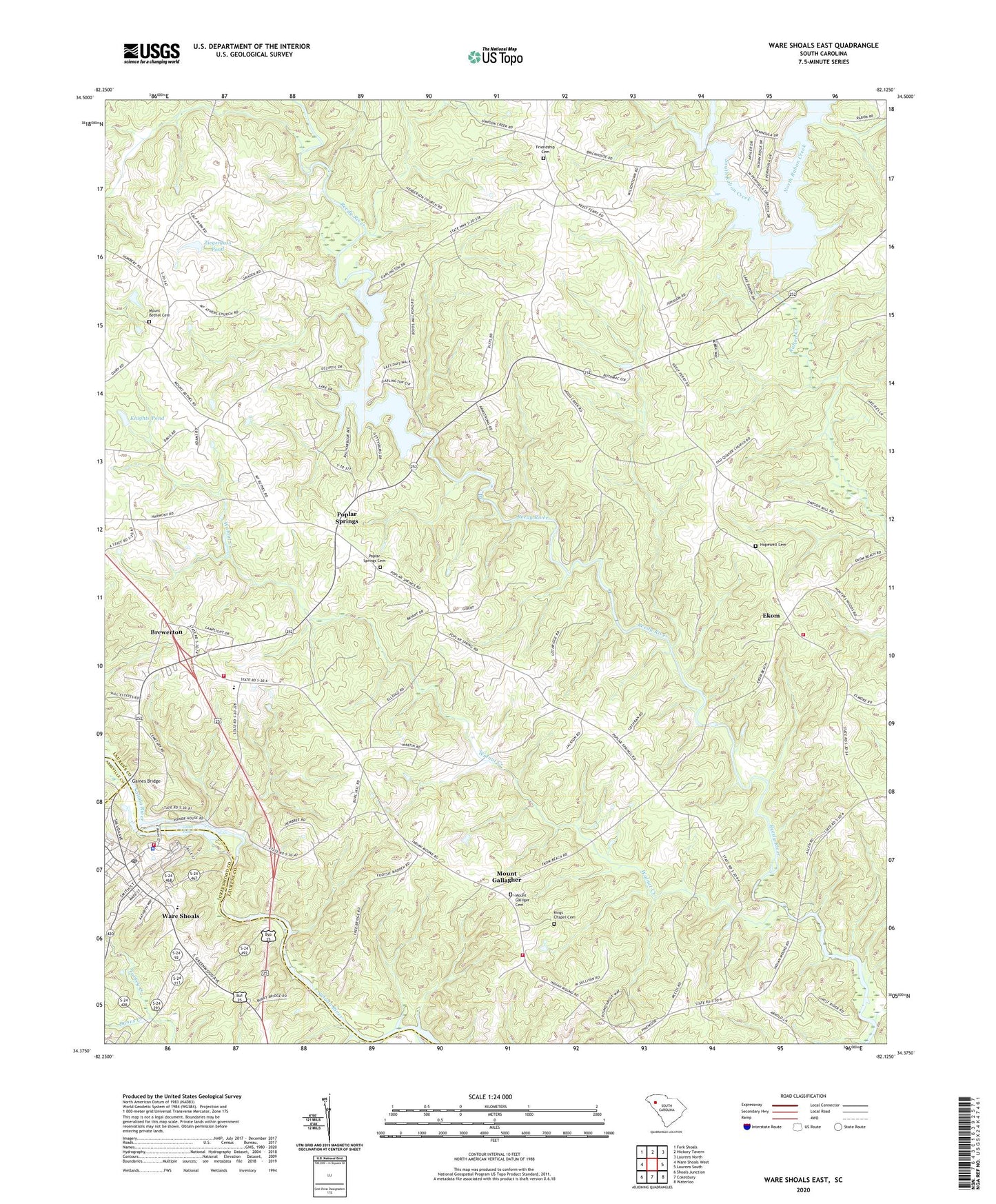
2024 topographic map quadrangle Ware Shoals East in the state of South Carolina. Scale: 1:24000. Based on the newly updated USGS 7.5' US Topo map series, this map is in the following counties: Laurens, Greenwood, Abbeville. The map contains contour data, water features, and other items you are used to seeing on USGS maps, but also has updated roads and other features. This is the next generation of topographic maps. Printed on high-quality waterproof paper with UV fade-resistant inks.
Quads adjacent to this one:
West: Ware Shoals West
Northwest: Fork Shoals
North: Hickory Tavern
Northeast: Laurens North
East: Laurens South
Southeast: Waterloo
South: Cokesbury
Southwest: Shoals Junction
This map covers the same area as the classic USGS quad with code o34082d2.
Contains the following named places: Austin, Baldwin, Bethel Church, Bethel School, Boyd Millpond, Boyds Mill, Boyds Mill Dam, Boyds Mill Reservoir, Brewerton, Brewerton Church, Brewerton School, Camak School, Christian Hope Church, Christian Hope School, Dunns Creek, Ekom, First Presbyterian Church, Friendship Cemetery, Friendship Church, Gaines Bridge, Great Falls, Hendricks Pond, Hendricks Pond Dam D-3024, Hopewell Cemetery, Hopewell Church, Hopewell School, Jones, Kings Chapel, Kings Chapel Cemetery, Knights Pond, Knights Pond Dam D-2969, Laurens County Emergency Medical Services Station 5, Laurens County Fire Department Ekom, Laurens County Fire Department Western Laurens, Laurens County Fire Department Western Laurens Station 2, Mitchells Mill, Mount Athen Church, Mount Bethel Cemetery, Mount Bethel Church, Mount Gallager Baptist Church, Mount Gallagher, Mount Galleger School, Mount Galliger Cemetery, Mount Olive, Mount Olive Church, Mount Olive School, North Rabon Creek, Oak Grove School, Owens, Pinsons Ford, Poplar Springs, Poplar Springs Baptist Church, Poplar Springs Cemetery, Poplar Springs School, Princeton Division, Sharon Church, South Rabon Creek, Southside Shopping Center, Town of Ware Shoals, Union Church, Walnut Creek, Walnut Grove Church, Ware Shaols Golf Course, Ware Shoals, Ware Shoals Dam, Ware Shoals Elementary School, Ware Shoals Fire Department Station 45, Ware Shoals First Baptist Church, Ware Shoals High School, Ware Shoals Pentecostal Holiness Church, Ware Shoals Police Department, Ware Shoals Post Office, Ware Shoals Reservoir, Ware Shoals United Methodist Church, Wisemans Mill, Ziegenfuss Pond, Ziegenfuss Pond Dam D-2970, ZIP Code: 29692