MyTopo
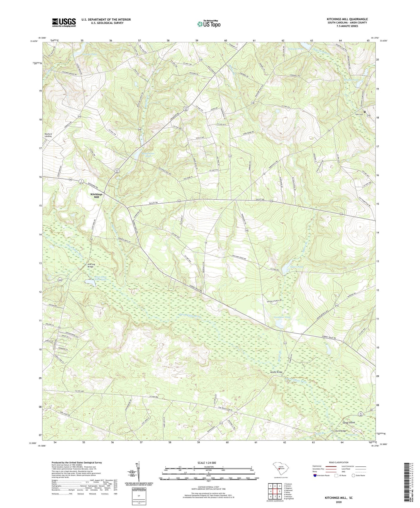
Kitchings Mill South Carolina US Topo Map
Couldn't load pickup availability
2024 topographic map quadrangle Kitchings Mill in the state of South Carolina. Scale: 1:24000. Based on the newly updated USGS 7.5' US Topo map series, this map is in the following counties: Aiken. The map contains contour data, water features, and other items you are used to seeing on USGS maps, but also has updated roads and other features. This is the next generation of topographic maps. Printed on high-quality waterproof paper with UV fade-resistant inks.
Quads adjacent to this one:
West: Oakwood
Northwest: Foxtown
North: Seivern
Northeast: Wagener
East: Salley
Southeast: Springfield
South: Williston
Southwest: Windsor
This map covers the same area as the classic USGS quad with code o33081e4.
Contains the following named places: Aiken State Park, Aiken State Park Lake, Baughmans Pond, Brodies Pond, Burcalo Creek, Burcalo School, Chapman Branch Church, Davis Bridge, Friendship Church, Friendship School, Garvins Pond, Goodyear Pond, Gum Ridge School, Hunter Branch, Johnsons Pond, Keadle Bridge, Kitchings Mill, Kitchins Mill School, Okanola School, Pine Log Bridge, Piney Grove School, Pond Branch, Sandy Island, Smyrna Church, South Carolina Noname 02013 D-1997 Dam, South Carolina Noname 02014 D-2030 Dam, South Carolina Noname 02015 D-1998 Dam, South Carolina Noname 02017 D-1999 Dam, South Carolina Noname 02020 D-2001 Dam, Tabernacle Church, Trinity Poultry Farm, Tyler Cemetery, Tylers Pond, Wexford Landing, Williams Pond, Zion Hill Baptist Church


