MyTopo
Williston South Carolina US Topo Map
Couldn't load pickup availability
Also explore the Williston Forest Service Topo of this same quad for updated USFS data
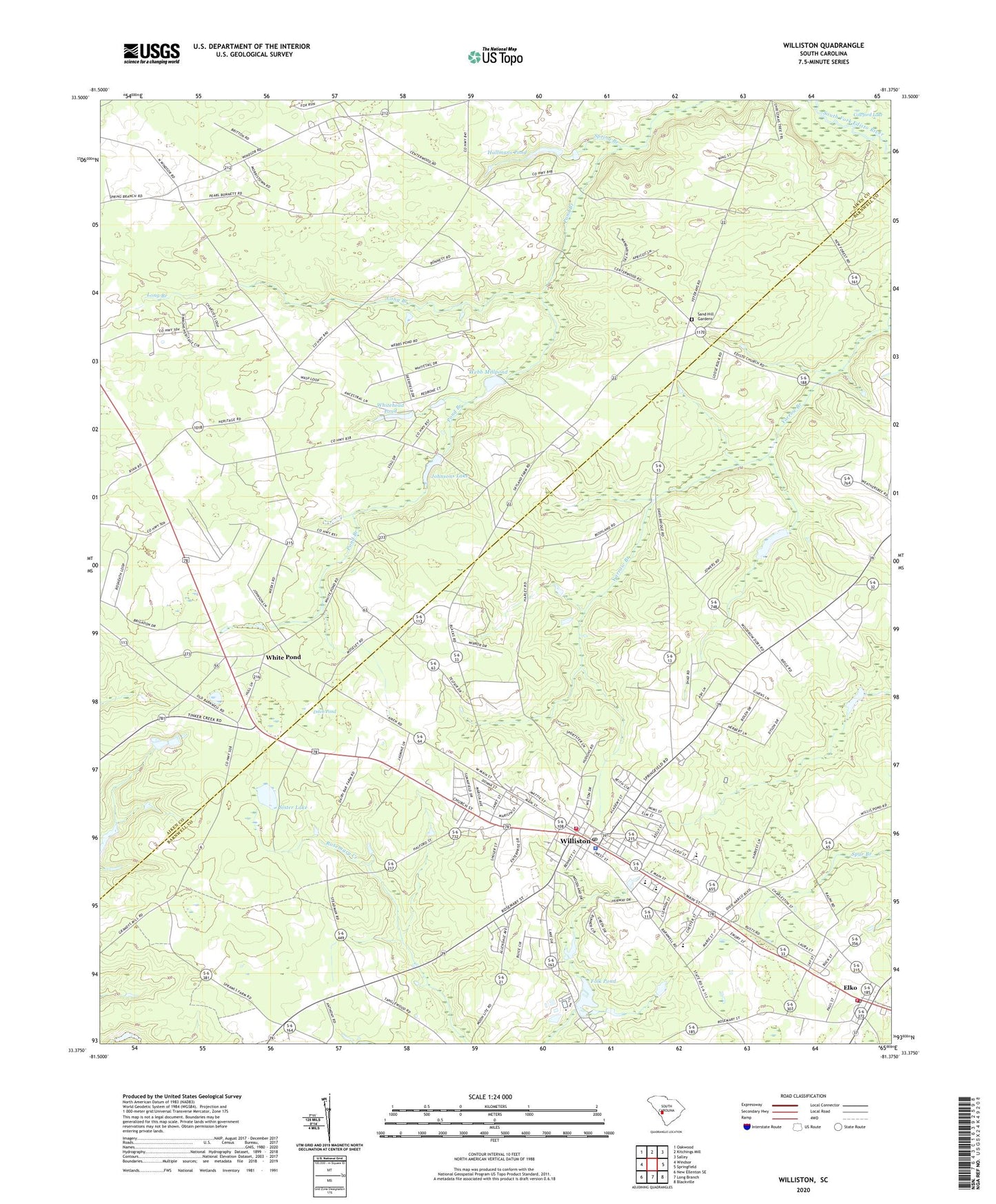
2024 topographic map quadrangle Williston in the state of South Carolina. Scale: 1:24000. Based on the newly updated USGS 7.5' US Topo map series, this map is in the following counties: Aiken, Barnwell. The map contains contour data, water features, and other items you are used to seeing on USGS maps, but also has updated roads and other features. This is the next generation of topographic maps. Printed on high-quality waterproof paper with UV fade-resistant inks.
Quads adjacent to this one:
West: Windsor
Northwest: Oakwood
North: Kitchings Mill
Northeast: Salley
East: Springfield
Southeast: Blackville
South: Long Branch
Southwest: New Ellenton SE
This map covers the same area as the classic USGS quad with code o33081d4.
Contains the following named places: Blessed Home School, Bonnett Mill, Bonnetts Mill Pond, Buzzard Branch, Canaan Fair Church, Church of God, Ditch Pond, Ebenezer Baptist Church, Edisto Church, Edisto School, Edwards Junior High School, Elko, Elko Baptist Church, Elko Fire Department Station No. 3, Fair Branch Church, First Baptist Church, Folk Pond, Folks Lower Pond D-3053 Dam, Folks Upper Pond Dam D-3052, Hallmans Pond, Johnsons Lake, Johnsons Lake Dam D-2039, Jordan Baptist Church, Jowers Pond Dam D-3048, Long Branch, Nobel Street Baptist Church, Peters School, Rosemary Baptist Church, Rosemary School, Sand Hill Gardens, Silver Spring Church, Silver Spring School, Sister Lake, South Carolina Noname 02042 D-2037 Dam, Spring Branch, Spring Branch Baptist Church, Spring Branch School, Summer Grove Church, Tinkers Creek School, Town of Elko, Town of Williston, WAAW-FM (Williston), Webb Mill, Webb Millpond, Webbs Pond Dam D-2038, White Pond, White Pond Church, Whitehead Pond, Whitehead Pond Dam D-2036, Williston, Williston Division, Williston Fire Department, Williston Police Department, Williston Presbyterian Church, Williston Rescue Squad, Williston-Elko High School, Williston-Elko Middle School, Windsor School, Winfield Heights Baptist Church, ZIP Code: 29853


