MyTopo
Lone Star South Carolina US Topo Map
Couldn't load pickup availability
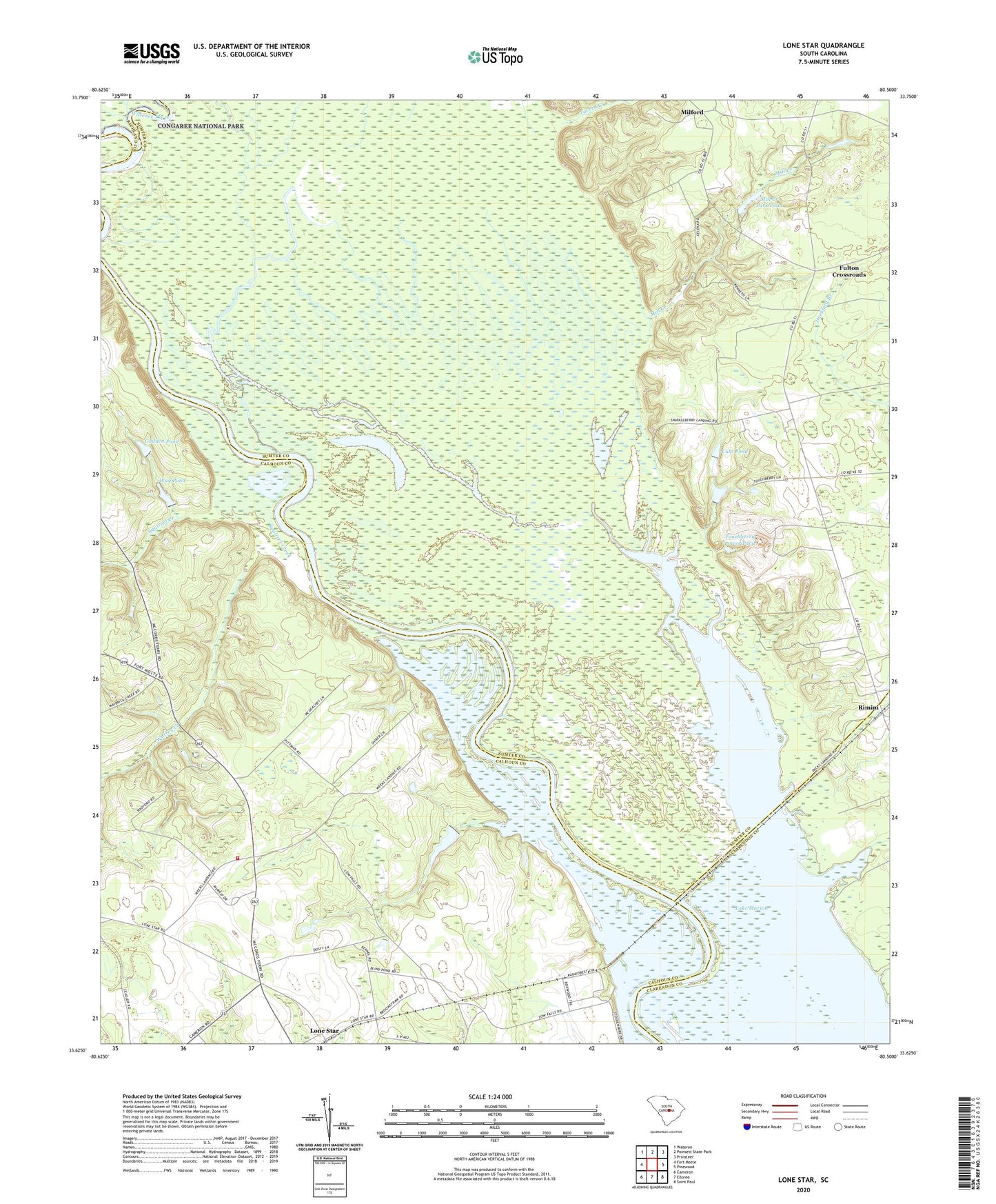
2024 topographic map quadrangle Lone Star in the state of South Carolina. Scale: 1:24000. Based on the newly updated USGS 7.5' US Topo map series, this map is in the following counties: Sumter, Calhoun, Clarendon, Richland. The map contains contour data, water features, and other items you are used to seeing on USGS maps, but also has updated roads and other features. This is the next generation of topographic maps. Printed on high-quality waterproof paper with UV fade-resistant inks.
Quads adjacent to this one:
West: Fort Motte
Northwest: Wateree
North: Poinsett State Park
Northeast: Privateer
East: Pinewood
Southeast: Saint Paul
South: Elloree
Southwest: Cameron
This map covers the same area as the classic USGS quad with code o33080f5.
Contains the following named places: Antioch Church, Broughton Millpond, Congaree River, Culp Pond, Culp Pond Dam D-2077, Elliots Landing, Fairy School, Fort Motte Fire Department Lone Star Station, Fulton Crossroads, Fulton School, Gadden Pond, Gadden Pond Dam D-2656, Haynes Chapel, Lone Star, Low Falls Landing, Mac Boykin YMCA Camp, Milford, Mill Creek, Mill Creek Park Pond, Mill Creek Pond Park Dam D-2066, New Zion Church, Old Zion Church, Pine Grove Church, Pine Grove School, Poinsett State Forest, Rimini, Saint Mark Church, Saint Marks Church, Santee Cooper Reservation, Spring Grove Creek, Squirrel Creek, Tavern Creek, Touchberry Lower Pond, Touchberry Lower Pond Dam D-1586, Warley Creek, Wateree River, Way Pond, Way Pond Dam D-2657, Weeks Landing


