MyTopo
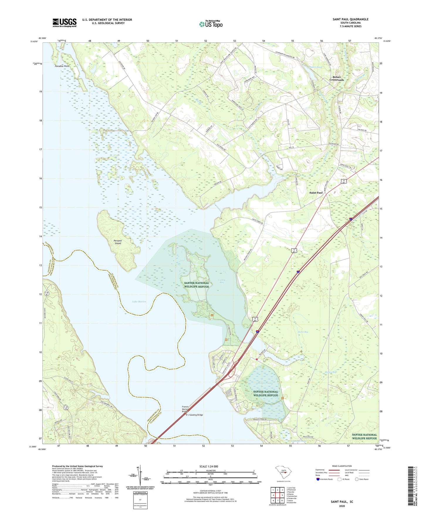
Saint Paul South Carolina US Topo Map
Couldn't load pickup availability
2024 topographic map quadrangle Saint Paul in the state of South Carolina. Scale: 1:24000. Based on the newly updated USGS 7.5' US Topo map series, this map is in the following counties: Clarendon, Orangeburg, Calhoun. The map contains contour data, water features, and other items you are used to seeing on USGS maps, but also has updated roads and other features. This is the next generation of topographic maps. Printed on high-quality waterproof paper with UV fade-resistant inks.
Quads adjacent to this one:
West: Elloree
Northwest: Lone Star
North: Pinewood
Northeast: Paxville
East: Summerton
Southeast: Eutawville
South: Vance
Southwest: Felderville
This map covers the same area as the classic USGS quad with code o33080e4.
Contains the following named places: Adams Landing, Belser Crossroads, Big Branch, Brown Lake, Cantey Bay, Chapel Branch, Clarendon Fire Department Station 12, Dingle Pond, Doctor Bay, Fort Watson, Francis Marion Bridge, Goshing Pond, Holiness Church, Jacks Creek, Lewis Landing, Liberty Hill Church, Liberty Hill School, Monkey Bay, North Santee, North Santee Census Designated Place, Oaks Church, Oaks School, Paradise Point, Persanti Island, Pinckneys Old Ferry, Pinkey Landing, Polly Cantey Pond, Polly Landing, Saint Paul, Saint Phillip Church, Saint Phillips Church, Saint Phillips School, Santee State Park, Scotts Lake, Sean's Poultry Farm, South Carolina Noname 14007 D-3500 Dam, South Carolina Noname 38081 D-3744 Dam, South Carolina Noname 38082 D-3745 Dam, Spring Branch, Stave Island, Stukes Pond, Sullivans Branch, W J Gooding Bridge, Wrights Landing


