MyTopo
Lowndesville South Carolina US Topo Map
Couldn't load pickup availability
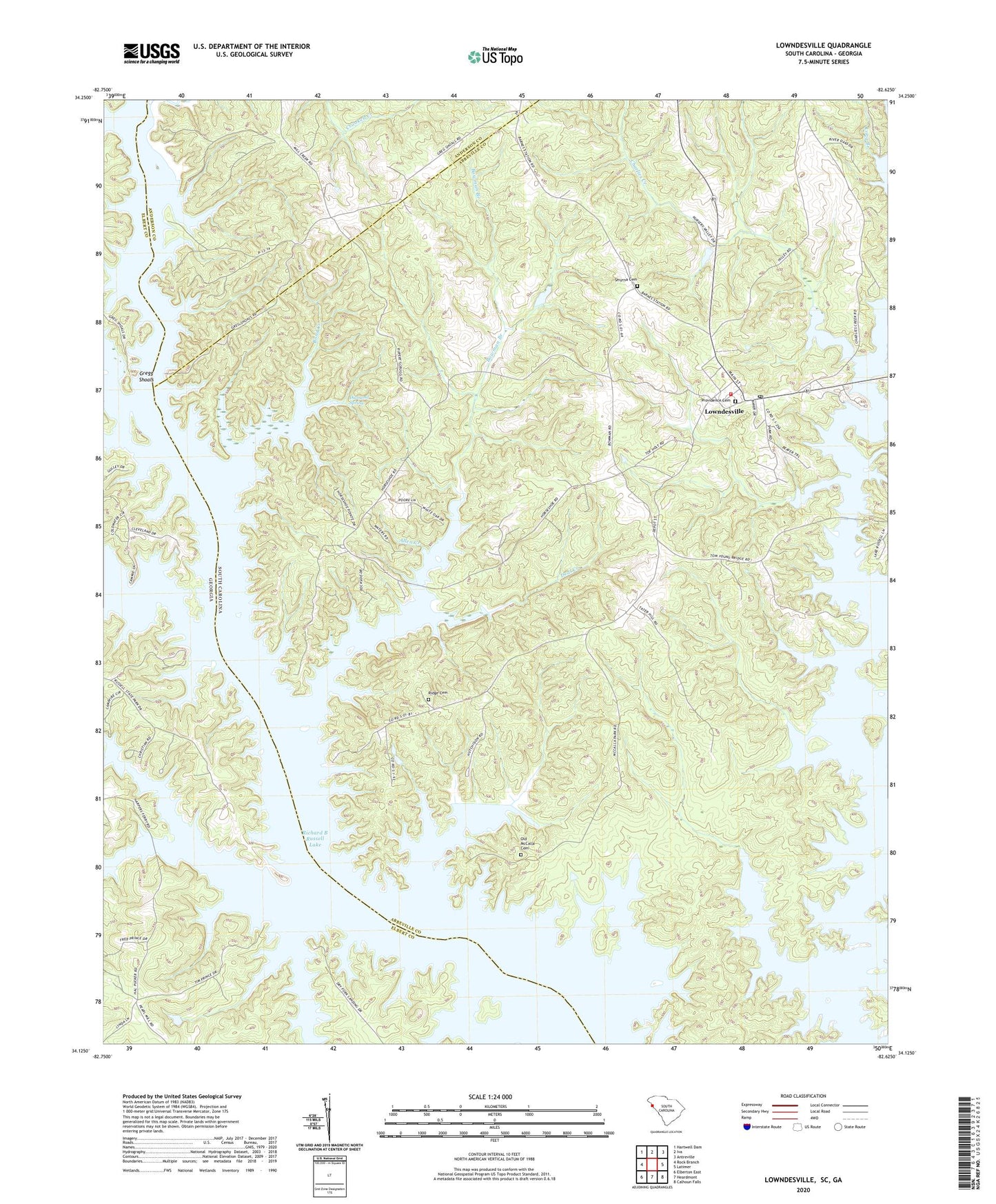
2024 topographic map quadrangle Lowndesville in the states of South Carolina, Georgia. Scale: 1:24000. Based on the newly updated USGS 7.5' US Topo map series, this map is in the following counties: Abbeville, Elbert, Anderson. The map contains contour data, water features, and other items you are used to seeing on USGS maps, but also has updated roads and other features. This is the next generation of topographic maps. Printed on high-quality waterproof paper with UV fade-resistant inks.
Quads adjacent to this one:
West: Rock Branch
Northwest: Hartwell Dam
North: Iva
Northeast: Antreville
East: Latimer
Southeast: Calhoun Falls
South: Heardmont
Southwest: Elberton East
This map covers the same area as the classic USGS quad with code o34082b6.
Contains the following named places: Abbeville County Fire Department Lowndesville Station 4, Allen Creek, B B Dunn Pond Dam D-3027, Barnes Mill, Beulah Baptist Church, Bond Creek, Bowman Branch, Bowman Ferry, Charlies Creek, Coldwater Creek, Crafts Ferry, Deal Creek, Diamond Hill Church, Diamond Hill School, Diamond Hill Spring, Diamond Spring, Duke, Edinburg, Fellowship Church, Gregg Shoals, Grover Chapel School, Harpers Cemetery, Harpers Ferry, Hudson Pentecostal Church, Hutchinsons Chapel, Little Generostee Creek, Long Branch, Lowndesville, Lowndesville Academy, Lowndesville Baptist Church, Lowndesville Elementary School, Lowndesville High School, Lowndesville Pentecostal Holiness Church, Lowndesville Police Department, Lowndesville Post Office, McCalla Island, Moses Chapel, Old McCalla Cemetery, Paradise Valley Lake Dam D-3029, Pickens Creek, Piney Grove Church, Providence Cemetery, Providence Presbyterian Church, Richard B Russell Lake, Richard B Russell State Park, Ridge Cemetery, Ridge Church, Rocky River, Savannah School, Smyrna Cemetery, Smyrna Church, Smyrna United Methodist Church, Town of Lowndesville, Van Creek, ZIP Code: 29659


