MyTopo
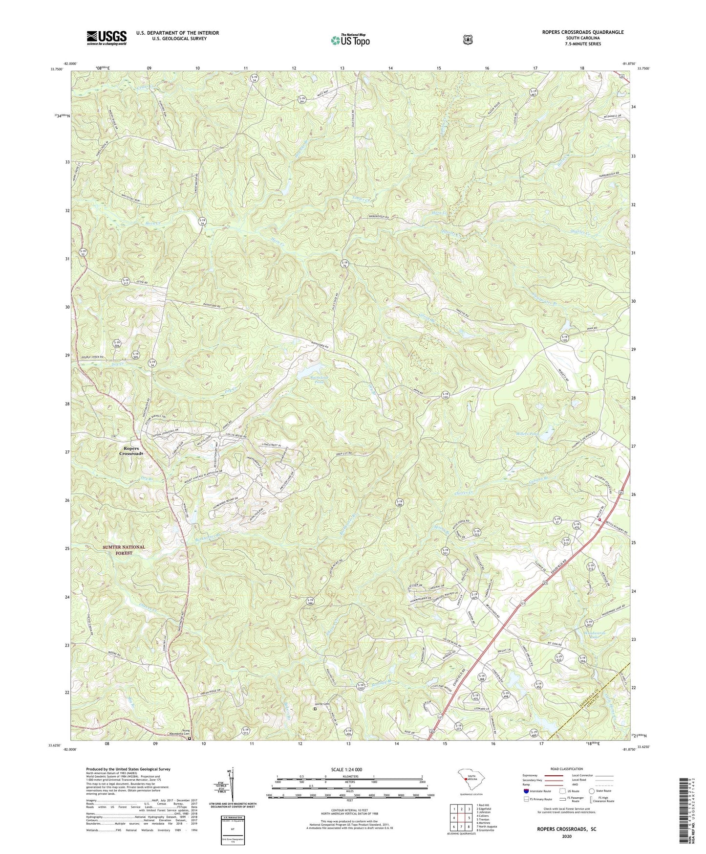
Ropers Crossroads South Carolina US Topo Map
Couldn't load pickup availability
Also explore the Ropers Crossroads Forest Service Topo of this same quad for updated USFS data
2024 topographic map quadrangle Ropers Crossroads in the state of South Carolina. Scale: 1:24000. Based on the newly updated USGS 7.5' US Topo map series, this map is in the following counties: Edgefield, Aiken. The map contains contour data, water features, and other items you are used to seeing on USGS maps, but also has updated roads and other features. This is the next generation of topographic maps. Printed on high-quality waterproof paper with UV fade-resistant inks.
Quads adjacent to this one:
West: Colliers
Northwest: Red Hill
North: Edgefield
Northeast: Johnston
East: Trenton
Southeast: Graniteville
South: North Augusta
Southwest: Martinez
This map covers the same area as the classic USGS quad with code o33081f8.
Contains the following named places: Bakers Branch, Burkhalter Branch, Canaan Branch, Clearwater Branch, Cooks Poultry Farm, County Line Fire Department County Line Substation, Crafton, Elm Grove School, Fairview Church, Gardenville School, Gilroy Branch, Harris Grove School, Highview, Hog Eye Branch, Horn Creek Church, Horne Cemetery, Jeter Church, Landrum School, Millers Pond, Monday Branch, Mount Canaan Church, Mount Zion Church, Mount Zion School, Oak Grove School, Old Macedonia Church, Old Macedonia School, Quarles Creek, Raiford Pond Dam D-1700, Rainsford Pond, Red Hill Branch, Rock Hill Society Hall, Ropers Crossroads, Ropers School, Science Hill Church, South Carolina Noname 19008 D-0893 Dam, South Carolina Noname 19015 D-0911 Dam, South Carolina Noname 19039 D-0900 Dam, South Carolina Noname 19050 D-0902 Dam, South Carolina Noname 19051 D-0903 Dam, Spring Branch, Swearingen, Tobler Creek, Wells Church, Wise, WKXC-FM (Aiken), Woodwards Lake, WRXR-FM (Aiken), Young Macedonia Cemetery, Young Macedonia School, Zion Hill School


