MyTopo
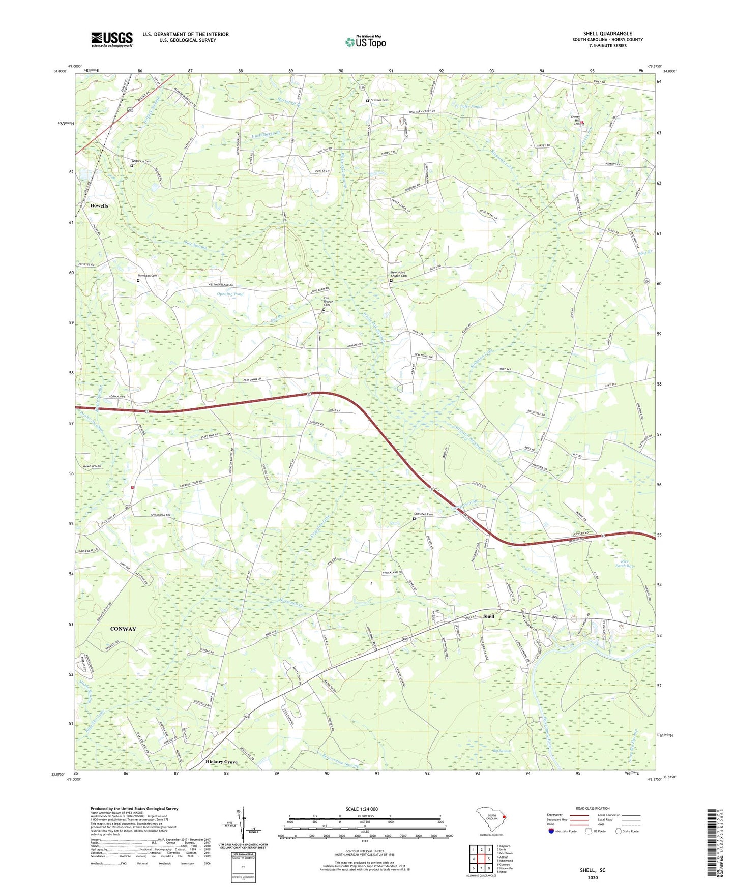
Shell South Carolina US Topo Map
Couldn't load pickup availability
2024 topographic map quadrangle Shell in the state of South Carolina. Scale: 1:24000. Based on the newly updated USGS 7.5' US Topo map series, this map is in the following counties: Horry. The map contains contour data, water features, and other items you are used to seeing on USGS maps, but also has updated roads and other features. This is the next generation of topographic maps. Printed on high-quality waterproof paper with UV fade-resistant inks.
Quads adjacent to this one:
West: Adrian
Northwest: Bayboro
North: Loris
Northeast: Goretown
East: Hammond
Southeast: Hand
South: Nixonville
Southwest: Conway
This map covers the same area as the classic USGS quad with code o33078h8.
Contains the following named places: Alligator Swamp, Anderson Cemetery, Bayboro Branch, Bethlehem Church, Beulah Church, Beulah School, Bug Swamp, Camp Swamp, Cherry Hill Cemetery, Chestnut Cemetery, Daisy School, Durant Church, Eldorado School Number 1, Eldorado School Number 2, Fox Branch, Fox Branch Cemetery, Good Hope Church, Good Hope School, Hamilton Cemetery, Hellhole Swamp, Hickory Grove, Hickory Grove Church, Hickory Grove School, Horry County, Horry County Fire Department Maple, Horry County Fire Department Shell, Horry County Fire Department Station 19, Horsepen Branch, Horsepen Creek, Howells, Huckleberry Branch, Jacks Bay, Kingston Elementary School, Maple Swamp, Mishoe Pond, Mishoe Pond Dam D-3620, Mount Calvary Church, Mount Calvary School, New Home Church, New Home Church Cemetery, Opening Pond, Poplar Swamp, Rice Patch Bay, Shell, Stevens Cemetery, Tyler Ponds, White Oak School, White Oak Swamp, WKZQ-FM (Myrtle Beach)


