MyTopo
Fedora South Dakota US Topo Map
Couldn't load pickup availability
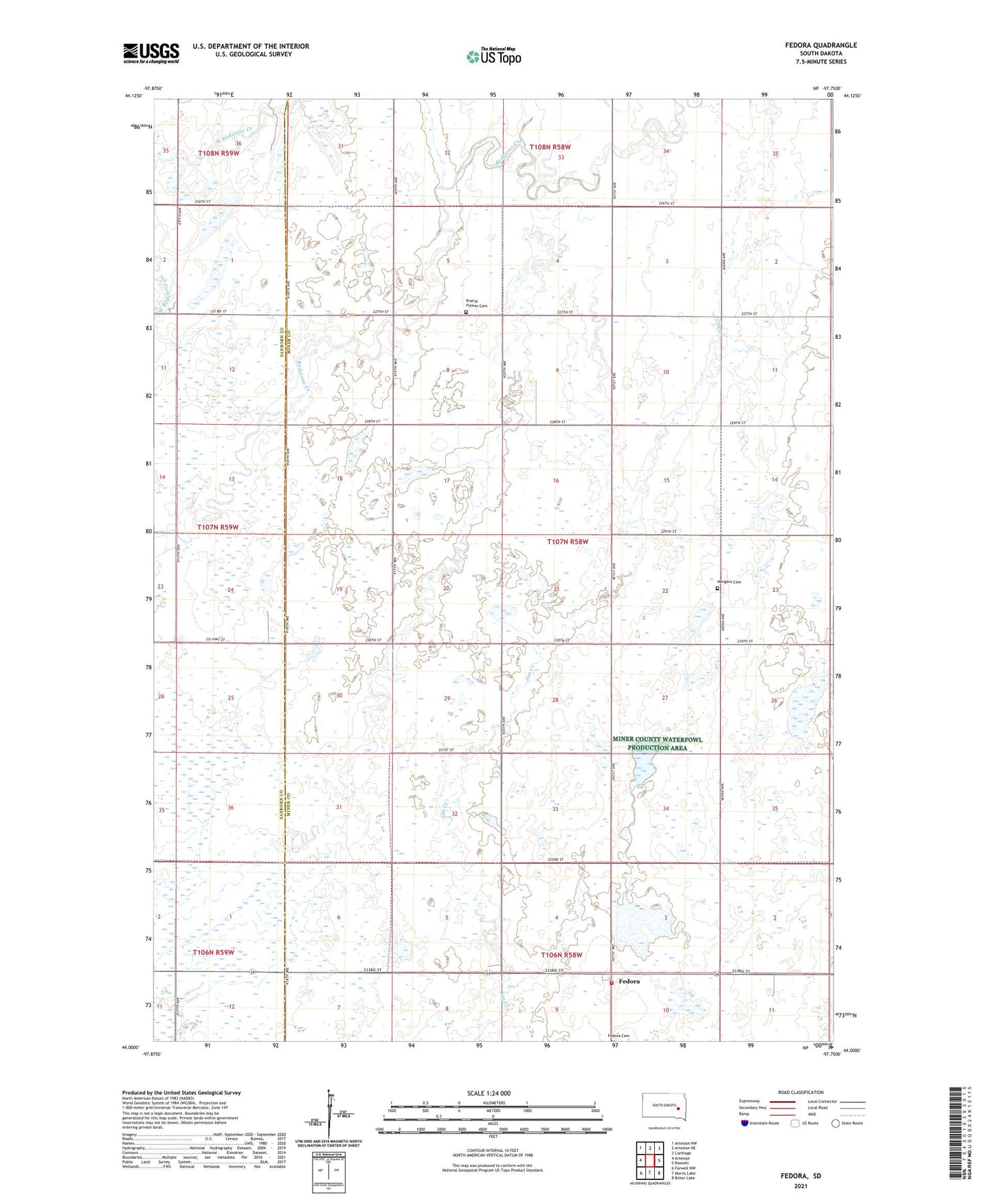
2021 topographic map quadrangle Fedora in the state of South Dakota. Scale: 1:24000. Based on the newly updated USGS 7.5' US Topo map series, this map is in the following counties: Miner, Sanborn. The map contains contour data, water features, and other items you are used to seeing on USGS maps, but also has updated roads and other features. This is the next generation of topographic maps. Printed on high-quality waterproof paper with UV fade-resistant inks.
Quads adjacent to this one:
West: Artesian
Northwest: Artesian NW
North: Artesian NE
Northeast: Carthage
East: Roswell
Southeast: Bitter Lake
South: Morris Lake
Southwest: Farwell NW
This map covers the same area as the classic USGS quad with code o44097a7.
Contains the following named places: Fedora, Fedora Census Designated Place, Fedora Fire Station, Fedora Post Office, Fedora Volunteer Fire Department, Glen View Church, Miner, Morgans Cemetery, Prairie Flower Cemetery, Township of Miner, ZIP Code: 57337