MyTopo
Farwell NW South Dakota US Topo Map
Couldn't load pickup availability
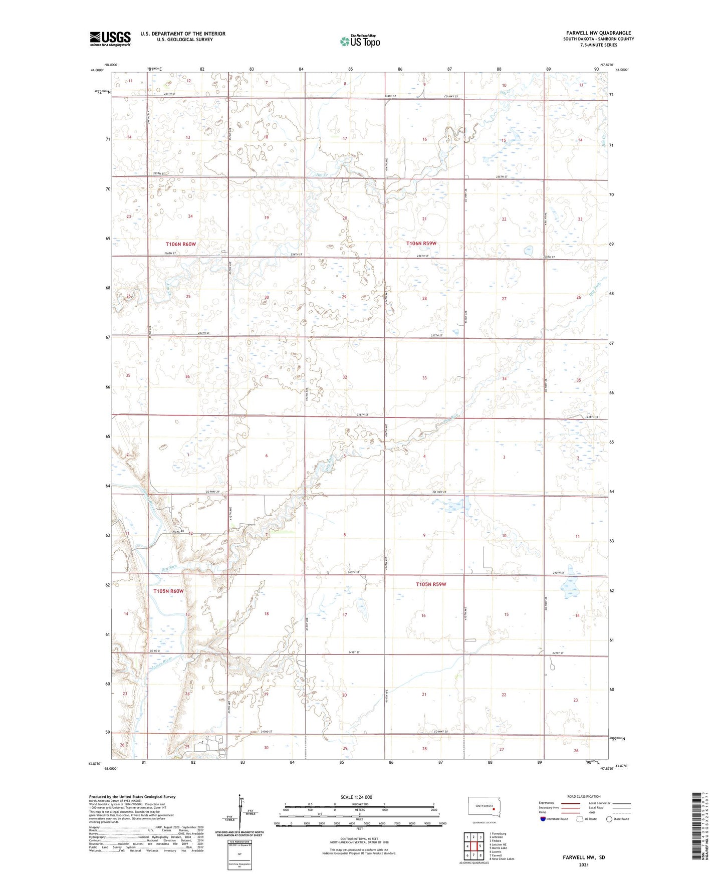
2021 topographic map quadrangle Farwell NW in the state of South Dakota. Scale: 1:24000. Based on the newly updated USGS 7.5' US Topo map series, this map is in the following counties: Sanborn. The map contains contour data, water features, and other items you are used to seeing on USGS maps, but also has updated roads and other features. This is the next generation of topographic maps. Printed on high-quality waterproof paper with UV fade-resistant inks.
Quads adjacent to this one:
West: Letcher NE
Northwest: Forestburg
North: Artesian
Northeast: Fedora
East: Morris Lake
Southeast: Ness Chain Lakes
South: Farwell
Southwest: Loomis
This map covers the same area as the classic USGS quad with code o43097h8.
Contains the following named places: Dry Run, Goering School, Grenell School, Hodson School, Ludwig School, Lyle School, Sheldon School, Township of Diana, Township of Ravenna, Upland Colony, Upland Colony Census Designated Place, Upland Colony Elementary School