MyTopo
Forestburg South Dakota US Topo Map
Couldn't load pickup availability
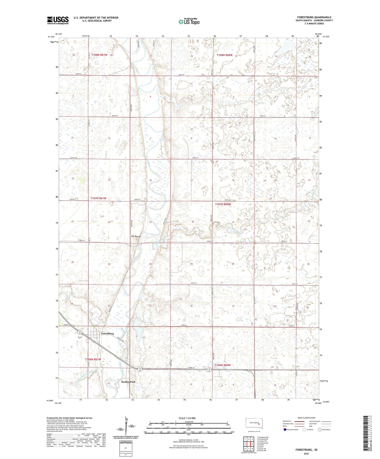
2021 topographic map quadrangle Forestburg in the state of South Dakota. Scale: 1:24000. Based on the newly updated USGS 7.5' US Topo map series, this map is in the following counties: Sanborn. The map contains contour data, water features, and other items you are used to seeing on USGS maps, but also has updated roads and other features. This is the next generation of topographic maps. Printed on high-quality waterproof paper with UV fade-resistant inks.
Quads adjacent to this one:
West: Forestburg SW
Northwest: Forestburg NW
North: Forestburg NE
Northeast: Artesian NW
East: Artesian
Southeast: Farwell NW
South: Letcher NE
Southwest: Letcher
This map covers the same area as the classic USGS quad with code o44098a1.
Contains the following named places: Alwilda, Aurelia, Big Mound, Brookings Crossing, Colony School, Ferguson School, First Presbyterian Church, Florence, Forestburg, Forestburg Census Designated Place, Forestburg Junction, Forestburg Lutheran Church, Looby School, Redstone Creek, Rubert School, Ruskin Park, Sanborn Central Elementary School, Sanborn Central High School, Sanborn Central Middle School, Sanborn County, Sand Creek, Township of Oneida, Upper Forestburg