MyTopo
Letcher South Dakota US Topo Map
Couldn't load pickup availability
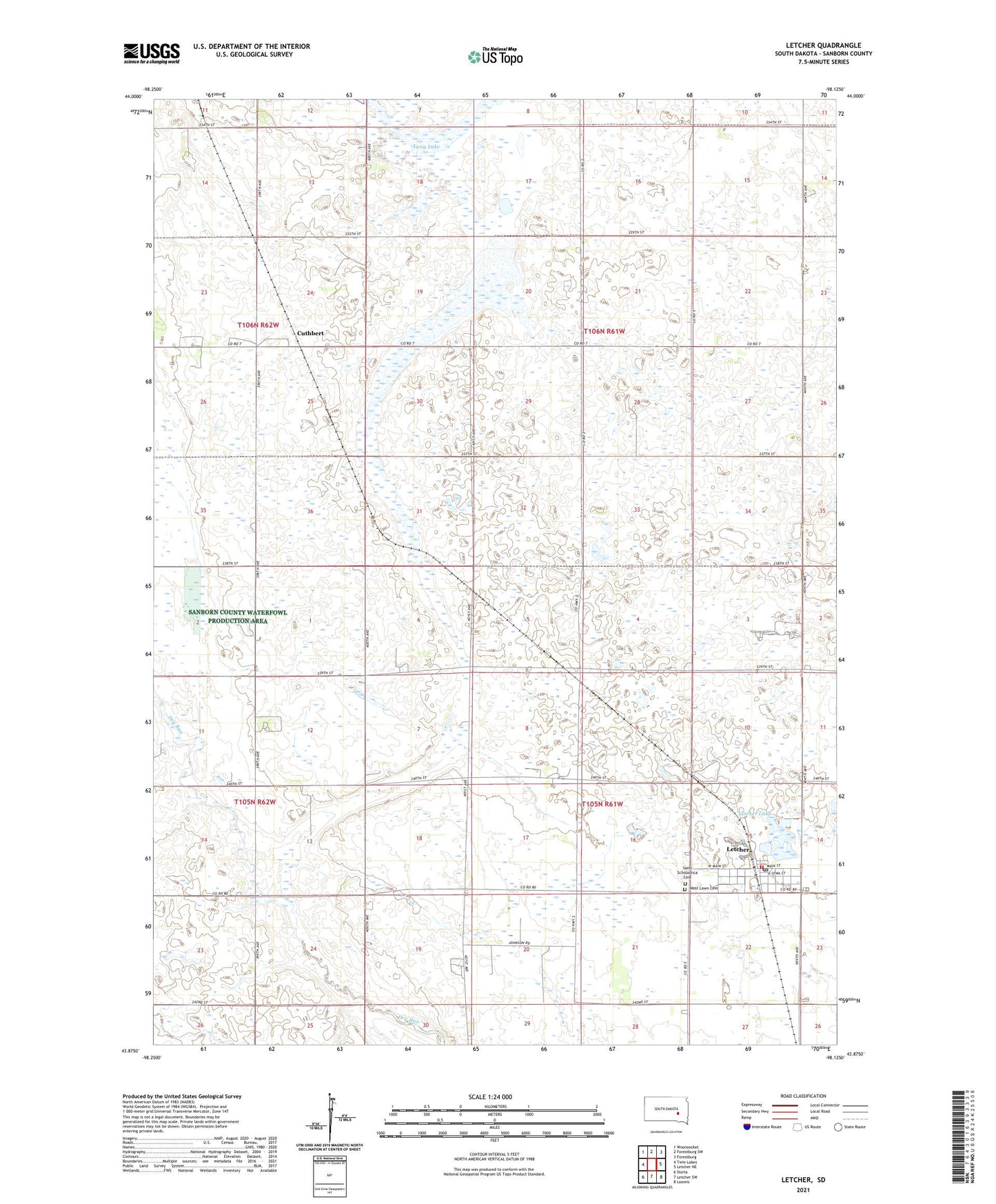
2021 topographic map quadrangle Letcher in the state of South Dakota. Scale: 1:24000. Based on the newly updated USGS 7.5' US Topo map series, this map is in the following counties: Sanborn. The map contains contour data, water features, and other items you are used to seeing on USGS maps, but also has updated roads and other features. This is the next generation of topographic maps. Printed on high-quality waterproof paper with UV fade-resistant inks.
Quads adjacent to this one:
West: Twin Lakes
Northwest: Woonsocket
North: Forestburg SW
Northeast: Forestburg
East: Letcher NE
Southeast: Loomis
South: Letcher SW
Southwest: Storla
This map covers the same area as the classic USGS quad with code o43098h2.
Contains the following named places: Congregational Church, Cuthbert, Cuthbert First Methodist Church, Letcher, Letcher Lake, Letcher Post Office, Letcher Volunteer Fire Department, Long Lake, Saint Scholastica Cemetery, Saint Scholastica Church, Sanborn County Waterfowl Production Area, Town of Letcher, Township of Letcher, Township of Logan, West Lawn Cemetery, ZIP Code: 57359