MyTopo
Howard NE South Dakota US Topo Map
Couldn't load pickup availability
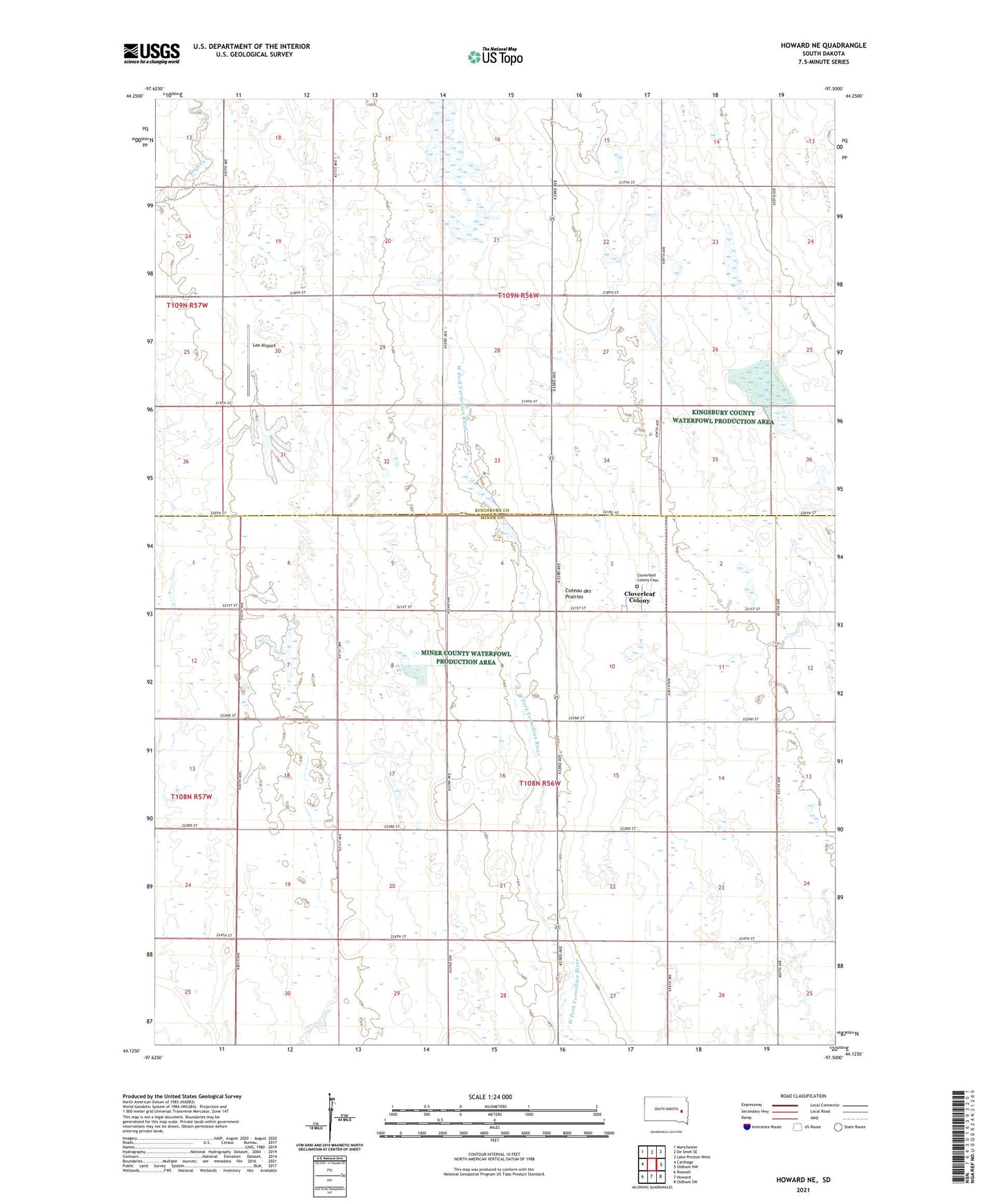
2021 topographic map quadrangle Howard NE in the state of South Dakota. Scale: 1:24000. Based on the newly updated USGS 7.5' US Topo map series, this map is in the following counties: Miner, Kingsbury. The map contains contour data, water features, and other items you are used to seeing on USGS maps, but also has updated roads and other features. This is the next generation of topographic maps. Printed on high-quality waterproof paper with UV fade-resistant inks.
Quads adjacent to this one:
West: Carthage
Northwest: Manchester
North: De Smet SE
Northeast: Lake Preston West
East: Oldham NW
Southeast: Oldham SW
South: Howard
Southwest: Roswell
This map covers the same area as the classic USGS quad with code o44097b5.
Contains the following named places: Berton, Cloverleaf Colony, Cloverleaf Colony Cemetery, Cloverleaf Colony Census Designated Place, Lee Airport, School Number 27, School Number 28, Township of Grafton