MyTopo
Vermillion SE South Dakota US Topo Map
Couldn't load pickup availability
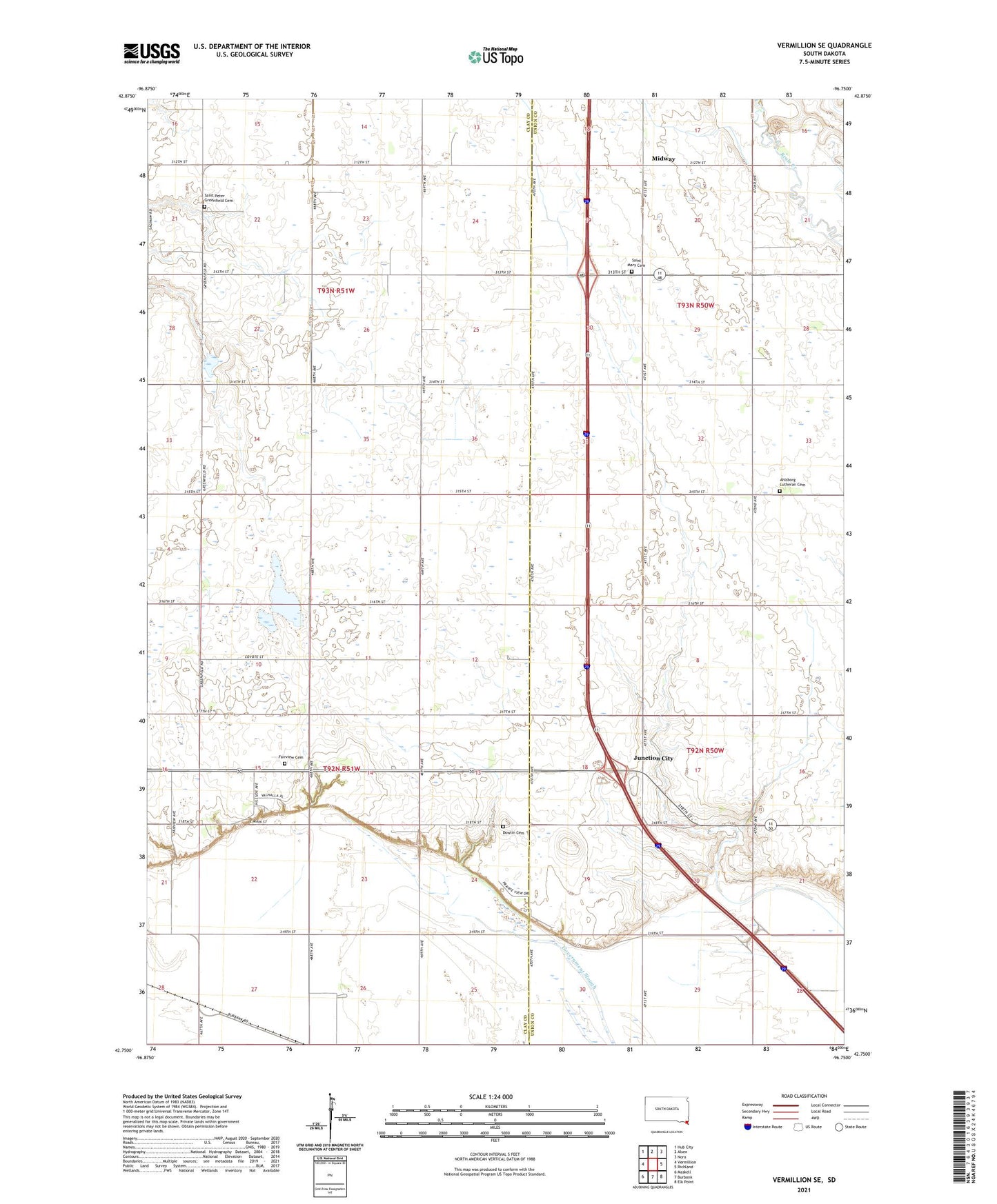
2021 topographic map quadrangle Vermillion SE in the state of South Dakota. Scale: 1:24000. Based on the newly updated USGS 7.5' US Topo map series, this map is in the following counties: Clay, Union. The map contains contour data, water features, and other items you are used to seeing on USGS maps, but also has updated roads and other features. This is the next generation of topographic maps. Printed on high-quality waterproof paper with UV fade-resistant inks.
Quads adjacent to this one:
West: Vermillion
Northwest: Hub City
North: Alsen
Northeast: Nora
East: Richland
Southeast: Elk Point
South: Burbank
Southwest: Maskell
This map covers the same area as the classic USGS quad with code o42096g7.
Contains the following named places: Ahlsborg Church, Ahlsborg Lutheran Cemetery, Dowlin Cemetery, Fairview Cemetery, Fairview School, Junction City, Midway, Prairie Center School, Rose Lake, Saint Mary Cemetery, Saint Marys Church, Saint Peter Church, Saint Peter Greenfield Cemetery, Township of Fairview, Township of Prairie Center, Valley School, Walnut Grove School, ZIP Code: 57010