MyTopo
Nora South Dakota US Topo Map
Couldn't load pickup availability
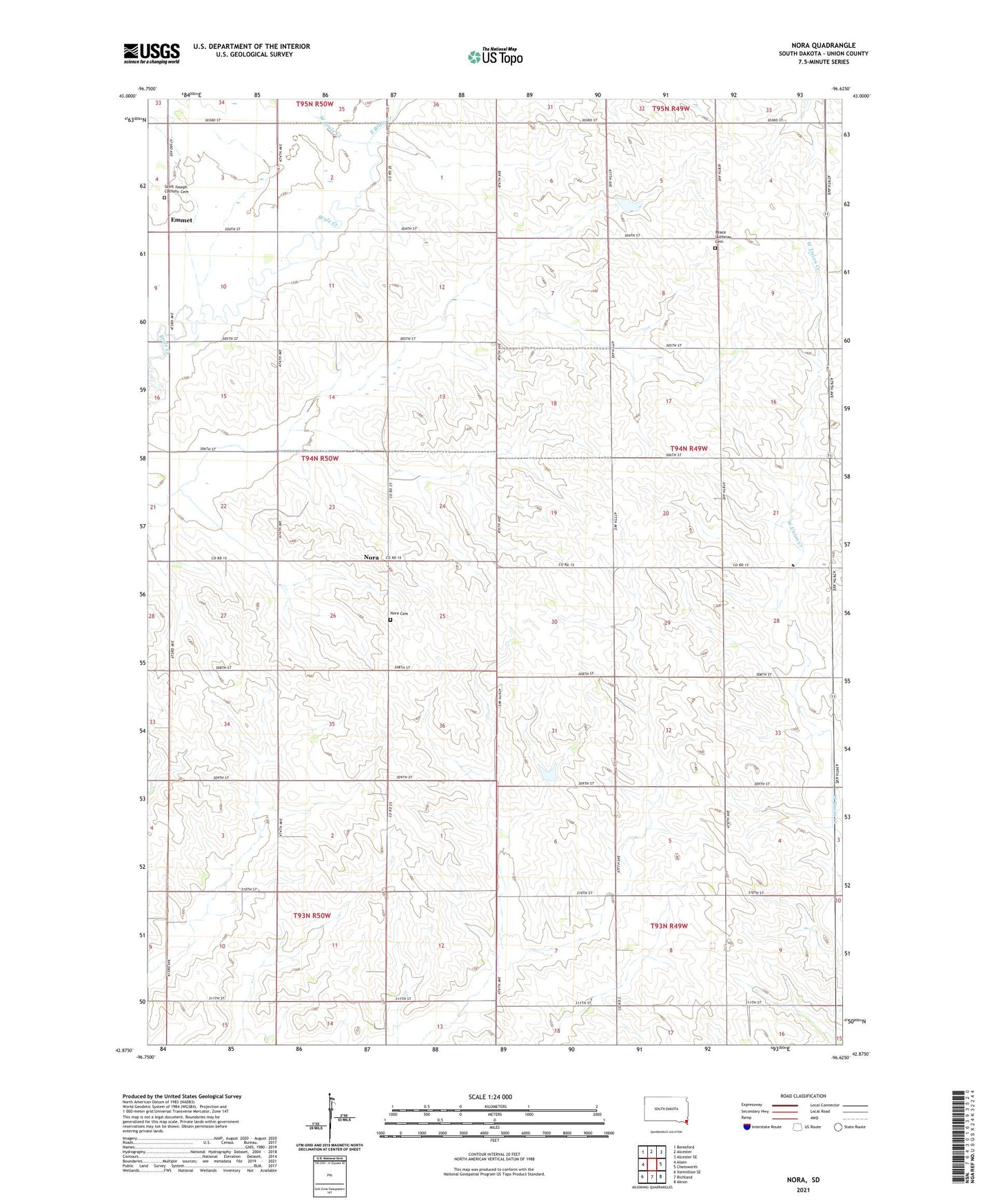
2021 topographic map quadrangle Nora in the state of South Dakota. Scale: 1:24000. Based on the newly updated USGS 7.5' US Topo map series, this map is in the following counties: Union. The map contains contour data, water features, and other items you are used to seeing on USGS maps, but also has updated roads and other features. This is the next generation of topographic maps. Printed on high-quality waterproof paper with UV fade-resistant inks.
Quads adjacent to this one:
West: Alsen
Northwest: Beresford
North: Alcester
Northeast: Alcester SE
Southeast: Akron
South: Richland
Southwest: Vermillion SE
This map covers the same area as the classic USGS quad with code o42096h6.
Contains the following named places: East Brule Creek, Emmet, Garland School, Ludwig School, Nora, Nora Cemetery, Nora Post Office, Nora School, North Spink School, Peace Lutheran Cemetery, Saint Joseph Catholic Cemetery, Saint Josephs Church, School Number 49, School Number 63, Star School, Township of Big Springs, Township of Emmet, West Brule Creek, ZIP Code: 57001