MyTopo
Vig Buttes South Dakota US Topo Map
Couldn't load pickup availability
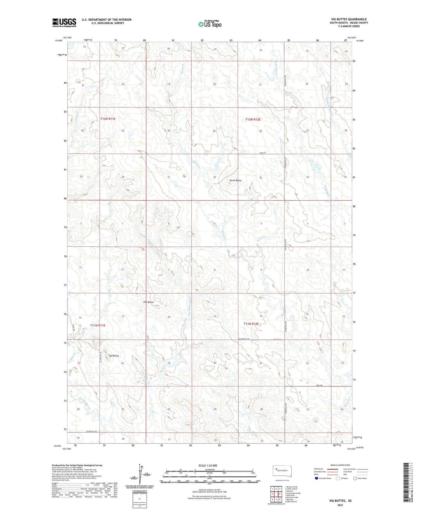
2021 topographic map quadrangle Vig Buttes in the state of South Dakota. Scale: 1:24000. Based on the newly updated USGS 7.5' US Topo map series, this map is in the following counties: Meade. The map contains contour data, water features, and other items you are used to seeing on USGS maps, but also has updated roads and other features. This is the next generation of topographic maps. Printed on high-quality waterproof paper with UV fade-resistant inks.
Quads adjacent to this one:
West: Frozen Man Creek
Northwest: Beverly Creek
North: Cedar Canyon
Northeast: Maurine
East: Opal West
Southeast: Opal West SE
South: Big Draw
Southwest: Bull Run Creek
This map covers the same area as the classic USGS quad with code o44102h6.
Contains the following named places: Coal Mine Draw, Deer Creek, Engalls Landing Strip, Horse Butte, L Ingalls Number 1 Dam, L Ingalls Number 2 Dam, OK Anderson Dam, Patterson Holding Dam, R Hampton Number 1 Dam, Spring Creek, Township of Horse Butte, Township of Royal, Vig Buttes, Zeff Butte