MyTopo
West of Ideal South Dakota US Topo Map
Couldn't load pickup availability
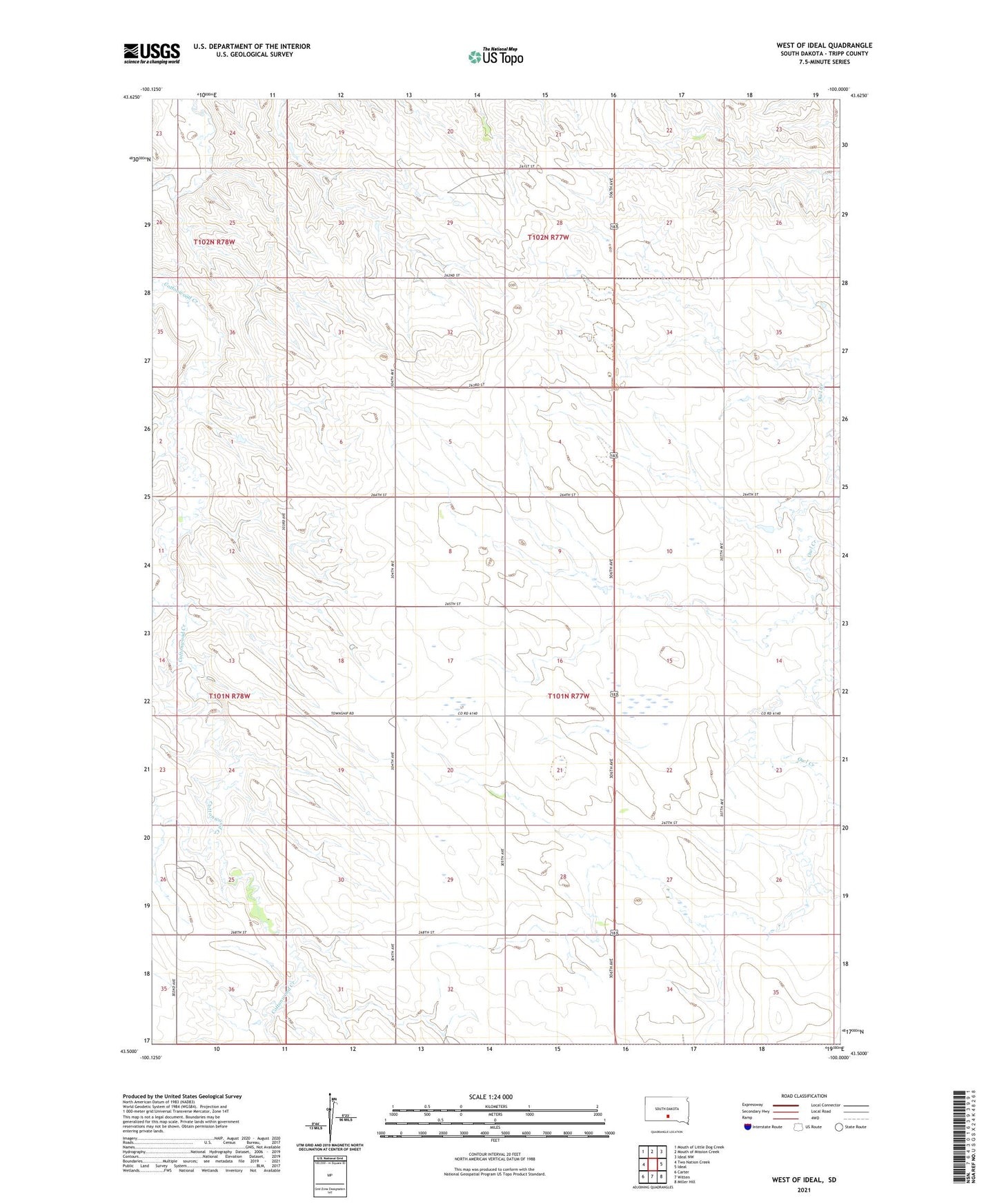
2021 topographic map quadrangle West of Ideal in the state of South Dakota. Scale: 1:24000. Based on the newly updated USGS 7.5' US Topo map series, this map is in the following counties: Tripp. The map contains contour data, water features, and other items you are used to seeing on USGS maps, but also has updated roads and other features. This is the next generation of topographic maps. Printed on high-quality waterproof paper with UV fade-resistant inks.
Quads adjacent to this one:
West: Two Nation Creek
Northwest: Mouth of Little Dog Creek
North: Mouth of Mission Creek
Northeast: Ideal NW
East: Ideal
Southeast: Miller Hill
South: Witten
Southwest: Carter
This map covers the same area as the classic USGS quad with code o43100e1.
Contains the following named places: Eden School, Township of Lone Tree, Two Nation Creek, ZIP Code: 57584