MyTopo
Binfield Tennessee US Topo Map
Couldn't load pickup availability
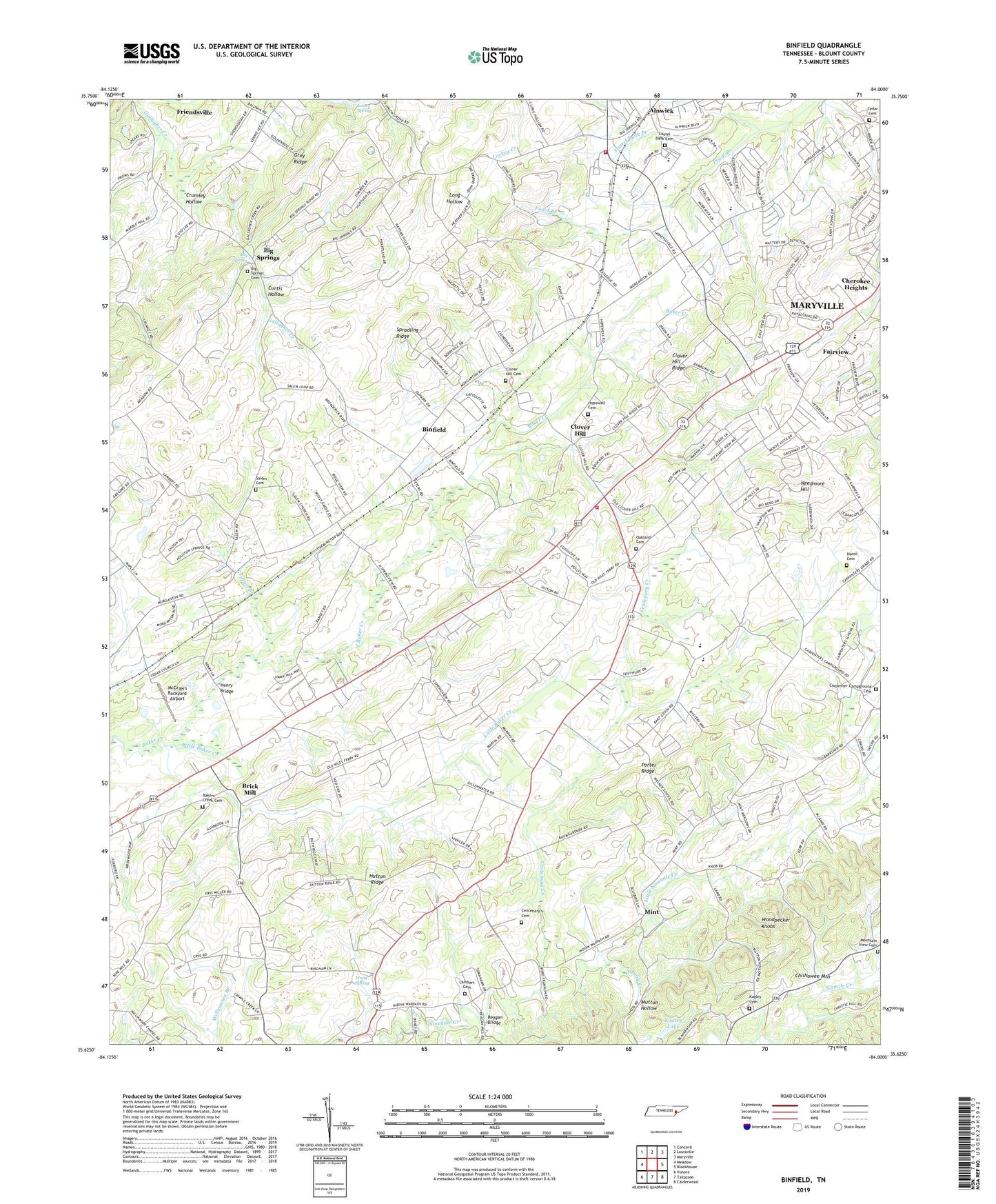
2022 topographic map quadrangle Binfield in the state of Tennessee. Scale: 1:24000. Based on the newly updated USGS 7.5' US Topo map series, this map is in the following counties: Blount. The map contains contour data, water features, and other items you are used to seeing on USGS maps, but also has updated roads and other features. This is the next generation of topographic maps. Printed on high-quality waterproof paper with UV fade-resistant inks.
Quads adjacent to this one:
West: Meadow
Northwest: Concord
North: Louisville
Northeast: Maryville
East: Blockhouse
Southeast: Calderwood
South: Tallassee
Southwest: Vonore
This map covers the same area as the classic USGS quad with code o35084f1.
Contains the following named places: Alnwick, Alnwick School, Bakers Creek Cemetery, Bakers Creek Presbyterian Church, Bestview, Big Spring, Big Springs, Big Springs Cemetery, Big Springs Presbyterian Church, Binfield, Binfield Division, Binfield Elementary School, Binfield Junior High School, Binfield Methodist Church, Blount County Farm, Blount County Fire Protection District Station 4, Blount Occupational Education Center, Brick Mill, Carpenter Campground, Carpenter School, Carpenters Campground Cemetery, Carpenters Campground Methodist Church, Cedar Cemetery, Cedar Lane Church, Centenary Baptist Church, Centenary Cemetery, Centenary Creek, Centenary Methodist Church, Cherokee Heights, Cherokee Heights Church, Christie Hill School, Christy Hill, Clover Hill, Clover Hill Cemetery, Clover Hill Estates, Clover Hill Presbyterian Church, Clover Hill Ridge, Commissioner District 6, Commissioner District 7, Country Haven, Crumley Hollow, Curtis Hollow, Dotson Memorial Baptist Church, Fairview, Fairview Elementary School, Fairview Heights, Fairway Estates, Forest Glen, Gospel Church, Gospel Temple Church, Green Valley, Greenwood, Griffitts Branch, Hamil Cemetery, Henry Bridge, Henrys Fort, Homestead Acres, Hopewell Baptist Church, Hopewell Cemetery, Houstons Fort, Hutton Ridge, Kagley Dam, Kagley Lake, Kenmark Hills, Lambert Cemetery, Lane Spring, Lanier Division, Laurel Bank Baptist Church, Laurel Bank Cemetery, Laurel Bank Estates, Little Baker Creek, Little Mountain Branch, Little Ninemile Creek, McGraw's Backyard Airport, Mint, Mount Carmel Church, Mountain View Church of Christ Cemetery, Mutton Hollow, Needmore Hill, Oak Grove School, Oakland Cemetery, Oakland Church of the Brethren, Oakview Cumberland Presbyterian Church, Old Kagley Church, Old Kagleys Cemetery, Pistol Branch, Pistol Creek Presbyterian Church, Porter Ridge, Rambling Acres, Reagan Bridge, Rush Strong School, Salem Baptist Church, Salem Baptist Church Cemetery, Sanford Fire Brigade Station 5 Maryville Manufacturing Center, Scott Hills, Sixmile Creek, South Hills, Spradling Ridge, Spring View Church, Springview, Tedfords Fort, Wallace Hills Golf Course, Walnut Hill Estates, West Hills, West Maryville Church, Westmoreland Heights, William Blount High School, Winfield Oaks Farm, Wood Spring, Woodpecker Knobs, ZIP Code: 37801