MyTopo
Forest Grove Tennessee US Topo Map
Couldn't load pickup availability
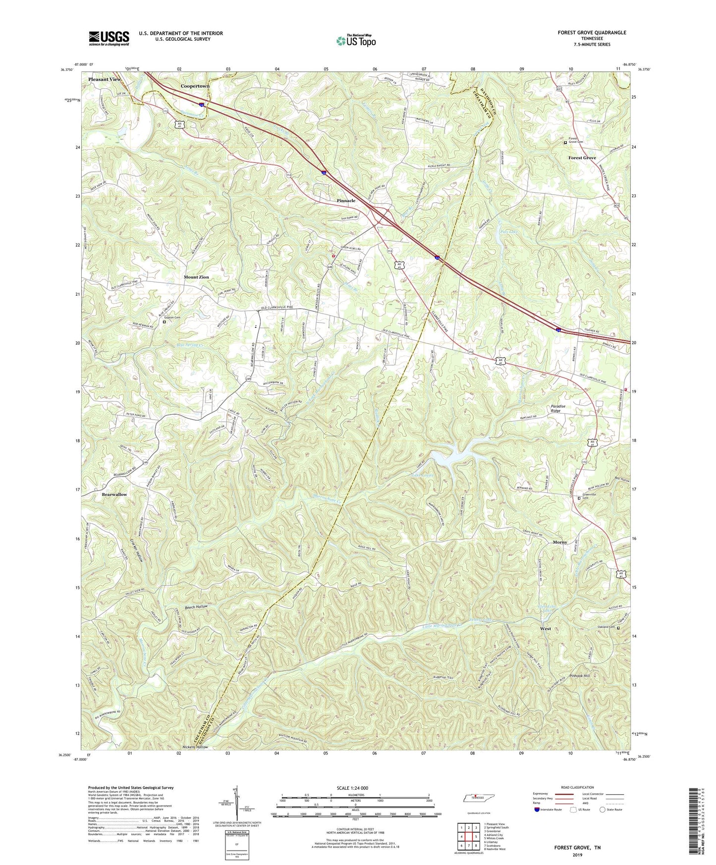
2022 topographic map quadrangle Forest Grove in the state of Tennessee. Scale: 1:24000. Based on the newly updated USGS 7.5' US Topo map series, this map is in the following counties: Cheatham, Davidson, Robertson. The map contains contour data, water features, and other items you are used to seeing on USGS maps, but also has updated roads and other features. This is the next generation of topographic maps. Printed on high-quality waterproof paper with UV fade-resistant inks.
Quads adjacent to this one:
West: Ashland City
Northwest: Pleasant View
North: Springfield South
Northeast: Greenbrier
East: Whites Creek
Southeast: Nashville West
South: Scottsboro
Southwest: Lillamay
This map covers the same area as the classic USGS quad with code o36086c8.
Contains the following named places: Bear Branch, Bearwallow, Bearwallow Church, Bearwallow School, Beech Hollow, Commissioner District 1, Commissioner District 2, Crocker Hollow, East Cheatham Elementary School, Evans Airport, Forest Grove, Forest Grove Cemetery, Forest Grove School, Fosters Store, Glen Echo Lake, Good Spring Church, Greenville, Greenville Cemetery, Greenville Church, Gupton Cemetery, Hoffasville, Hollis Creek, Joelton Church, Jones Branch, Lake Louise, Long Branch, Marrowbone Dam, Marrowbone Lake, Morny, Morny Elementary School, Mount Pleasant Church, Mount Pleasant School, Mount Zion, Mount Zion Freewill Baptist Church, Mount Zion School, Mudlick Creek, Nashville Fire Department Station 30, New Hope Freewill Baptist Church, North Fork Marrowbone Creek, Oakland Cemetery, Oakland Church, Oakwood Church, Paines Chapel, Pals Lake, Pals Lake Dam, Paradise Ridge, Pinedale Church, Pinhook Hill, Pinnacle, Pinnacle School, Pleasant View Volunteer Fire Department Station 2, Procks Branch, Rest, Saint Lawrence Catholic Church, Saint Lawrence School, Setters Lake, Setters School, West, Westeria, WZEZ-FM (Nashville), ZIP Code: 37080


