MyTopo
Gassaway Tennessee US Topo Map
Couldn't load pickup availability
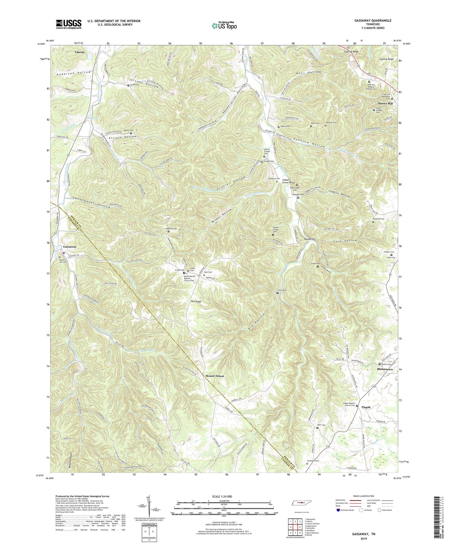
2022 topographic map quadrangle Gassaway in the state of Tennessee. Scale: 1:24000. Based on the newly updated USGS 7.5' US Topo map series, this map is in the following counties: DeKalb, Cannon. The map contains contour data, water features, and other items you are used to seeing on USGS maps, but also has updated roads and other features. This is the next generation of topographic maps. Printed on high-quality waterproof paper with UV fade-resistant inks.
Quads adjacent to this one:
West: Auburntown
Northwest: Alexandria
North: Liberty
Northeast: Center Hill Dam
East: Smithville
Southeast: Dibrell
South: Short Mountain
Southwest: Woodbury
This map covers the same area as the classic USGS quad with code o35085h8.
Contains the following named places: Adamson Branch, Adamson Cemetery, Anderson Hollow, Barnes Cemetery, Beech Hill Cemetery, Bennett Cemetery, Big Hollow, Blair Cemetery, Blue Spring, Bluhm Cemetery, Bluhmtown, Bluhmtown Creek, Boatwright Cemetery, Braswell Cemetery, Cathcart Cemetery, Cave Hollow, Cave Spring Missionary Baptist Church, Clear Fork Church, Commissioner District 2, Connell Creek, Copling Ridge, Cripps Cemetery, Cripps Mill, Cubbins Hollow, Davis Cemetery, District 24, District 3, District 4, Dry Creek Baptist Church, Egypt Hollow Branch, Frazier Cemetery, Frazier Hollow, Frazier Hollow Branch, Fuson - George Cemetery, Fuson Cemetery, Gassaway, Gassaway Church of Christ, Gassaway High School, Gassaway Volunteer Fire Department, Givan Cemetery, Givens Hollow, Greenhill Branch, Hale Cemetery, Haleville, Henry Frazier Cemetery, Hicks Cemetery, Hunt Hollow, Indian Grave Point, Keith Cemetery, Martin Branch, Mathis Cemetery, Mechanicsville School, Melton Hollow, Mount Ararat, Mount Ararat Church of Christ, Mount Ararat School, Mount Moriah, Mount Moriah Baptist Church, Mount Moriah Baptist Church Cemetery, Mount Pisgah Church, Opossum Hollow, Pea Ridge, Pea Ridge School, Pisgah, Pisgah Baptist Church Cemetery, Pistole Hollow, Rabbit Bluff, Rabbit Bluff School, Round Hill, Smithson Cemetery, Snow Cemetery, Snow Hill Baptist Church, Snow Hill Baptist Church Cemetery, Snow Hill Methodist Cemetery, Snow Hill Methodist Church, Snows Hill, Sweetwater Hollow, Sycamore Creek, Tabernacle Church, Three Forks Branch, Turkey Branch, Vandergriff Hollow, Vickers Cemetery, Vickers Hollow, Wilder Hollow, Wilder Hollow Branch, Wilmouth Creek, Youngblood, Zenith Cripps Cemetery, ZIP Codes: 37059, 37095


