MyTopo
Short Mountain Tennessee US Topo Map
Couldn't load pickup availability
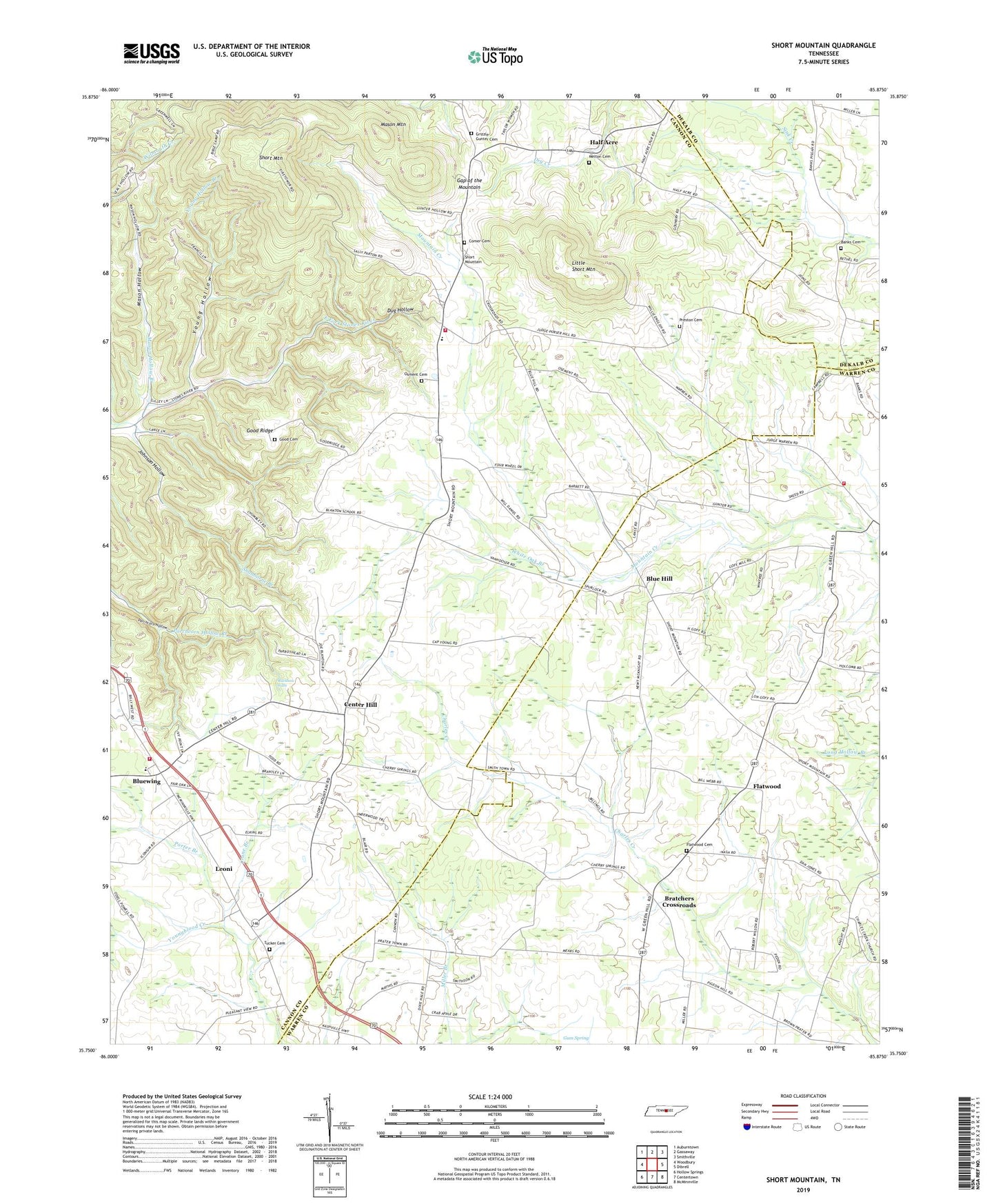
2022 topographic map quadrangle Short Mountain in the state of Tennessee. Scale: 1:24000. Based on the newly updated USGS 7.5' US Topo map series, this map is in the following counties: Cannon, Warren, DeKalb. The map contains contour data, water features, and other items you are used to seeing on USGS maps, but also has updated roads and other features. This is the next generation of topographic maps. Printed on high-quality waterproof paper with UV fade-resistant inks.
Quads adjacent to this one:
West: Woodbury
Northwest: Auburntown
North: Gassaway
Northeast: Smithville
East: Dibrell
Southeast: McMinnville
South: Centertown
Southwest: Hollow Springs
This map covers the same area as the classic USGS quad with code o35085g8.
Contains the following named places: Banks Cemetery, Banks Church, Blanton, Blanton School, Blue Hill, Blues Hill Church of Christ, Bluewing, Bluewing Baptist Church, Bluewing Census Designated Place, Bratchers Crossroads, Bratchers Crossroads Free Methodist Church, Center Hill, Center Hill Baptist Church, Center Hill School, Central View School, Cherry Springs School, Comer Cemetery, Commissioner District 4, Crane Branch, Cross Roads, Devenport, Dug Hollow, Eastside Elementary School, Eastside Volunteer Fire Department, Flatwood, Flatwood Cemetery, Gap of the Mountain, Good Cemetery, Good Ridge, Grizzle - Gunter Cemetery, Half Acre, Henegar Dam, Henegar Lake, Johnson Hollow, Leoni, Little Short Mountain, Mahathy Hill School, Mason Hollow, Mason Hollow Branch, Mason Mountain, Melton Cemetery, Negro Gull, New Short Mountain Church, North Warren Volunteer Fire Department Station 3, Osment Cemetery, Osment Chapel, Porter Branch, Preston Cemetery, Rainbow Falls, Rainbow Falls Mill, Shanborne Branch, Short Mountain, Short Mountain Camp, Short Mountain Church, Short Mountain Elementary School, Short Mountain Volunteer Fire Department, Stewart Chapel, Sugar Tree Knob, Sugar Tree Knob Church, Thomas Town, Tucker Cemetery, Tuckers Chapel Methodist Church, Tuckers Chapel School, Vinson Cross Roads, White Oak Branch, Wood Church, Wood School, Woods, Young Hollow, Young Hollow Branch


