MyTopo
Hartsville Tennessee US Topo Map
Couldn't load pickup availability
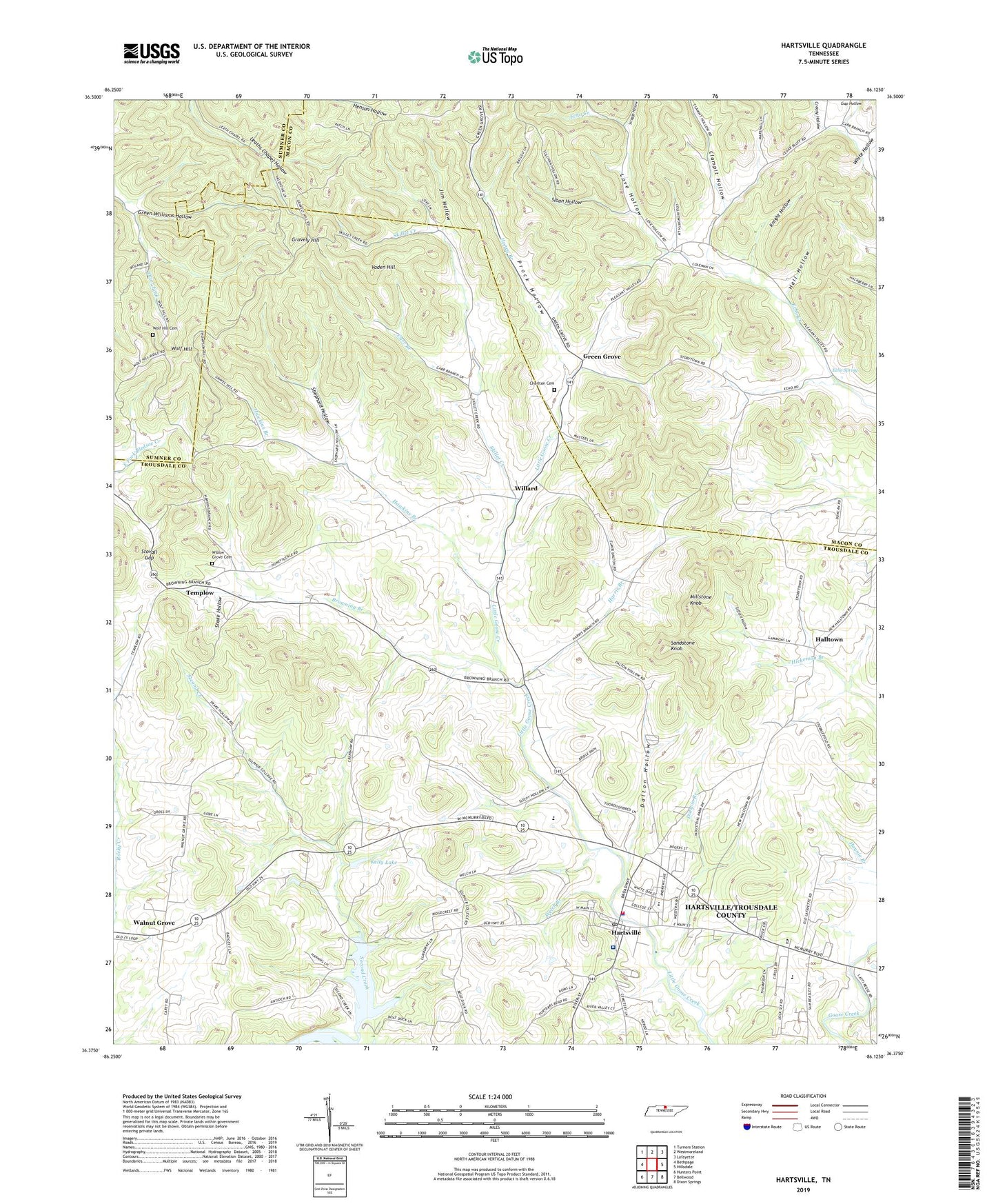
2022 topographic map quadrangle Hartsville in the state of Tennessee. Scale: 1:24000. Based on the newly updated USGS 7.5' US Topo map series, this map is in the following counties: Trousdale, Macon, Sumner. The map contains contour data, water features, and other items you are used to seeing on USGS maps, but also has updated roads and other features. This is the next generation of topographic maps. Printed on high-quality waterproof paper with UV fade-resistant inks.
Quads adjacent to this one:
West: Bethpage
Northwest: Turners Station
North: Westmoreland
Northeast: Lafayette
East: Hillsdale
Southeast: Dixon Springs
South: Bellwood
Southwest: Hunters Point
This map covers the same area as the classic USGS quad with code o36086d2.
Contains the following named places: Browning Branch, Carr Branch, Cedar Bluff, Cedar Bluff Church, Charlton Cemetery, Church of Christ of Hartsville, Church of the First Born, Clampit Hollow, Commissioner District 4, Commissioner District 5, Commissioner District 7, Commissioner District 8, Commissioner District 9, Creasy Hollow, Dalton Hollow, Darwin Branch, East Main Street Missionary Baptist Church, Echo Spring, First Methodist Church of Hartsville, Fred A Vaught Memorial Library, Friendship Church, Gap Hollow, Gifford Hollow, Gravel Hill School, Gravely Hill, Green Chapel Methodist Church, Green Grove, Green Grove United Methodist Church, Green Williams Hollow, Hall Hollow, Halltown, Harris Branch, Hartsville, Hartsville / Trousdale Ambulance Service, Hartsville Baptist Church, Hartsville Christian Fellowship Church, Hartsville Church of Christ, Hartsville City Hall, Hartsville Division, Hartsville Police Department, Hartsville Post Office, Hartsville Trousdale County Volunteer Fire Department, Hartsville/Trousdale County, Hawkins Branch, Honey Branch, Jim Hollow, Kelly Lake, Kelly Lake Dam, Knight Hollow, Leaths Chapel, Love Hollow, Millstone Knob, Morrison Street Church of Christ, Prock Hollow, Saint Johns Missionary Baptist Church, Sandstone Knob, Scruggs Hollow, Second Creek, Shephard Hollow, Skillet Creek, Sloan Hollow, Smith Chapel Methodist Church, Snake Hollow, Stovall Gap, Templow, Tobacco Bowl, Trousdale County, Trousdale County Courthouse, Trousdale County Elementary School, Trousdale County High School, Trousdale County Sheriff's Office, Trousdale Medical Center, Vaden Hill, Walnut Grove, Ward High School, Welch Branch, White Hollow, Willard, Willard School, Willow Grove Cemetery, Willow Grove Church, WJKM-AM (Hartsville), Wolf Hill, Wolf Hill Cemetery, ZIP Code: 37074


