MyTopo
Ivydell Tennessee US Topo Map
Couldn't load pickup availability
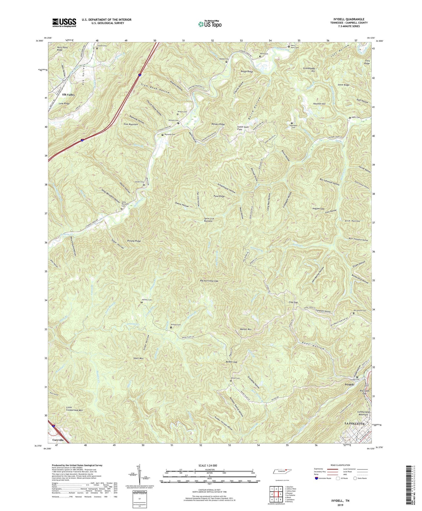
2019 topographic map quadrangle Ivydell in the state of Tennessee. Scale: 1:24000. Based on the newly updated USGS 7.5' US Topo map series, this map is in the following counties: Campbell. The map contains contour data, water features, and other items you are used to seeing on USGS maps, but also has updated roads and other features. This is the next generation of topographic maps. Printed on high-quality waterproof paper with UV fade-resistant inks.
Quads adjacent to this one:
West: Pioneer
Northwest: Ketchen
North: Jellico West
Northeast: Jellico East
East: La Follette
Southeast: Demory
South: Jacksboro
Southwest: Block
Contains the following named places: Adams Hollow, Arch Hollow, Ayers Cemetery, Baird Cemetery, Baird Hollow, Barley Creek, Bear Branch, Bear Wallow Branch, Big Creek Gap, Big Hurricane Gap, Big Pigeon Branch, Bill Johnston Hollow, Blackoak Hollow, Blain Thompson Hollow, Broyles, Broyles Branch, Broyles Cemetery, Broyles Chapel, Bruce Hollow, Campbell County, Campbell Hollow, Cave Branch, Charlie Hollow, Church House Hollow, Clay Gap, Commissioner District 5, Crabapple Hollow, Cupp Branch, Dittany Ridge, Eblen-Powell Number One Dam, Elijah Hollow, Elk Valley, Elk Valley First Baptist Church, Falls Hollow, Fire Branch, First Baptist Church, Flat Cliff Hollow, Friendly Valley Church, Gaylor Hollow, Gibson Cemetery, Granddaddy Hill, Grandma Hollow, Hatfield Cemetery, Hatmaker Branch, Hatmaker Cemetery, Henry Ayers Cemetery, Hogjaw Gap, Horse Creek, Houston Ayers Branch, Houston Hill, Incline Hollow, Indian Creek Mines, Ivy Dell School, Ivydell, Ivydell Cemetery, Jabo Hollow, Jackson Branch, Jennings Creek, Jim Branch, John Barley Hollow, Johnson Branch, Johnson Cemetery, Jordan Hollow, Kent Hollow, La Follette Reservoir, Laurel Branch, Lawson Branch, Lawson Cemetery, Leonard Branch, Little Cumberland Mountain, Lone Ridge, Long Haul Hollow, McCormick Cemetery, McNew Gap, Meadow Creek, Muddy Branch, Muse Hollow, New Ground Hollow, New Liberty Baptist Church, Number Thirteen Hollow, Number Twelve Hollow, Ollis Creek, Owens Branch, Owens Hollow, Pine Mountain, Pond Ridge, Pryor Meredith Branch, Rex Number Two Mine, Reynolds Cemetery, Reynolds Hollow, Rough Ridge, Rutherford Hollow, Sallie Gibson Hollow, Samp Meredith Cemetery, Samp Meredith Hollow, Sand Branch, Sawmill Hollow, Schoolhouse Hollow, Sharp Branch, Short Mountain, Slide Hollow, Spice Lick Bottoms, Stansbury Number Four Mine, Steve Ridge, Sugar Hollow, Sweet Gum Flats, Tram Road Branch, Tram Road Hollow, Walden Cemetery, Walnut Mountain, Walnut Mountain Lookout Tower, Waterfall Branch, Wells Branch, Wilson Cemetery, WLAF-AM (La Follette)