MyTopo
Jamestown Tennessee US Topo Map
Couldn't load pickup availability
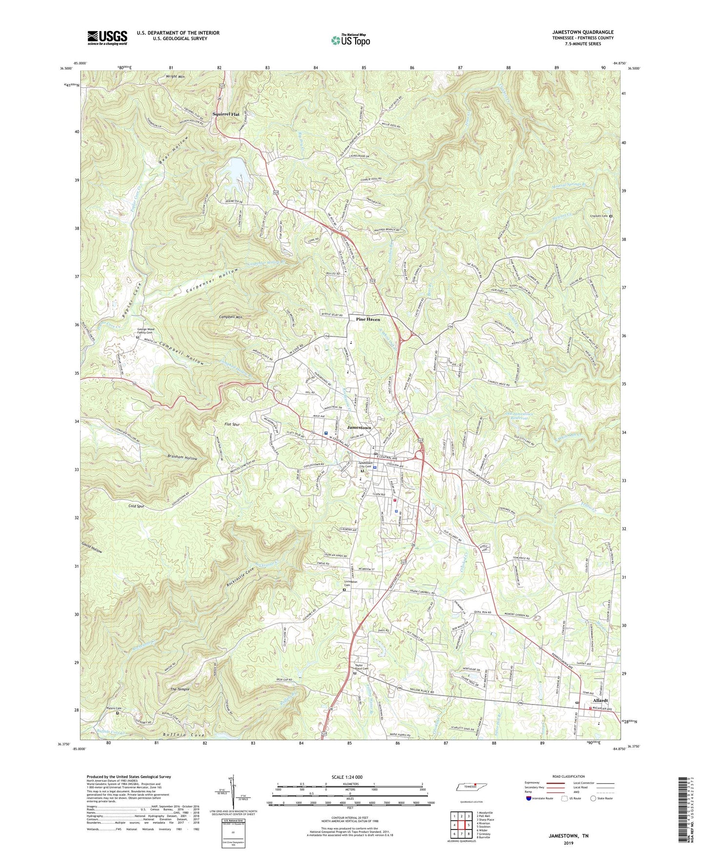
2022 topographic map quadrangle Jamestown in the state of Tennessee. Scale: 1:24000. Based on the newly updated USGS 7.5' US Topo map series, this map is in the following counties: Fentress. The map contains contour data, water features, and other items you are used to seeing on USGS maps, but also has updated roads and other features. This is the next generation of topographic maps. Printed on high-quality waterproof paper with UV fade-resistant inks.
Quads adjacent to this one:
West: Riverton
Northwest: Moodyville
North: Pall Mall
Northeast: Sharp Place
East: Stockton
Southeast: Burrville
South: Grimsley
Southwest: Wilder
This map covers the same area as the classic USGS quad with code o36084d8.
Contains the following named places: Allardt, Allardt Elementary School, Allardt Fire Department, Allardt Fire Tower, Allardt First Baptist Church, Allardt Post Office, Bear Branch, Bear Hollow, Buffalo Branch, Buffalo Cove, Campbell Hollow, Campbell Hollow Branch, Campbell Mountain, Carpenter Hollow, Carpenter Hollow Branch, City of Allardt, City of Jamestown, Cold Spur, Commissioner District 1, Commissioner District 2, Crockett Cemetery, Crockett Creek, Crooked Creek, Crossroads Chapel, Cumberland Grove, David Crockett Mine, East Jamestown School, Fentress County, Fentress County Ambulance Service, Fentress County Court House, Fentress County Courthouse, Fentress County Sheriff Department, Fentress County Volunteer Fire Department Station 1 Jamestown, Flat Spur, George Wood Family Cemetery, Gwinn Cove, Jamestown, Jamestown City Cemetery, Jamestown Division, Jamestown First Baptist Church, Jamestown Police Department, Jamestown Post Office, Jamestown Regional Medical Center, Livingston Cemetery, Manson-Wolf River Division, Miller Spring Branch, Mineral Springs Branch, Old Jamestown Reservoir, Old Jamestown Reservoir Dam, Panther Branch, Pine Haven, Pine Haven Baptist Church, Pine Haven Church of the Nazarene, Pine Haven Elementary School, Rockcastle Cove, Rockcastle Creek, Round Mountain Baptist Church, Round Mountain School, Squirrel Flat, Taylor Place Cemetery, The Temple, Waters Cemetery, WCLC-AM (Jamestown), WDEB-AM (Jamestown), WDEB-FM (Jamestown), Wispering Winds Dam, Wispering Winds Lake, Wolf River Fire Tower, Wright Mountain, York Elementary School, York Institute High School, ZIP Code: 38556


