MyTopo
Stockton Tennessee US Topo Map
Couldn't load pickup availability
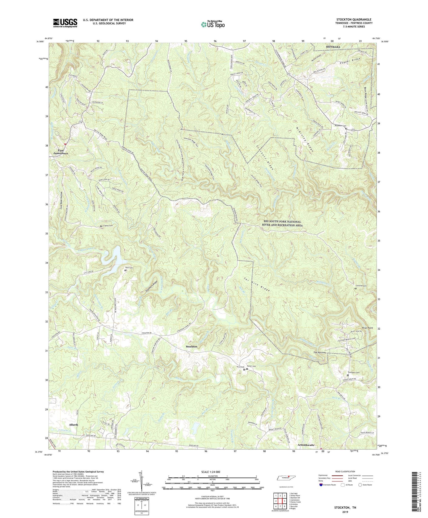
2022 topographic map quadrangle Stockton in the state of Tennessee. Scale: 1:24000. Based on the newly updated USGS 7.5' US Topo map series, this map is in the following counties: Fentress. The map contains contour data, water features, and other items you are used to seeing on USGS maps, but also has updated roads and other features. This is the next generation of topographic maps. Printed on high-quality waterproof paper with UV fade-resistant inks.
Quads adjacent to this one:
West: Jamestown
Northwest: Pall Mall
North: Sharp Place
Northeast: Barthell SW
East: Honey Creek
Southeast: Rugby
South: Burrville
Southwest: Grimsley
This map covers the same area as the classic USGS quad with code o36084d7.
Contains the following named places: Alticrest School, Armawaithe School, Bear Branch, Bole Branch, Boon Ridge, Booncamp Branch, Briar Point, Campbell Branch, Christian Cemetery, Coal Bank Hollow, Commissioner District 5, Copley Cemetery, Crockett Creek, Crockett Ridge, East Jamestown, East Prong Hill Creek, Fentress County Volunteer Fire Department Station 4 Armathwaite, Fentress County Volunteer Fire Department Station 5 East Jamestown, Fletcher Branch, Foster Branch, Fritzsche Creek, Hatfield Creek, Hick Cemetery, Jamestown Reservoir, Jamestown Reservoir Dam, Lick Branch, Lovely Spring Branch, Lynn Branch, McKinley Ridge, Mill Creek, Mill Seat Creek, Nichol Creek, Patten Branch, Poplar Ridge, Potter Cemetery, Pumphouse Branch, Rattlesnake Branch, Royal Blue, Royalston Cemetery, Sam Branch, Sharp Branch, Slipshuck Ridge, Spruce Creek, Stockton, Stockton School, Stone Coal Branch, Tar Kiln Ridge, Terry Cemetery, The Narrows, The Wilderness, Thompkin Cemetery, West Prong Hill Creek, Yellow Creek


