MyTopo
Locke Tennessee US Topo Map
Couldn't load pickup availability
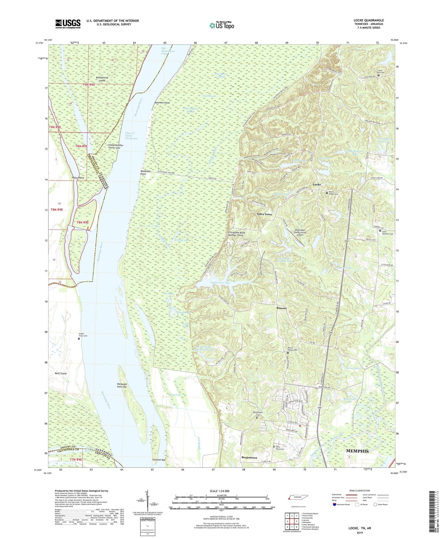
2022 topographic map quadrangle Locke in the states of Tennessee, Arkansas. Scale: 1:24000. Based on the newly updated USGS 7.5' US Topo map series, this map is in the following counties: Shelby, Crittenden. The map contains contour data, water features, and other items you are used to seeing on USGS maps, but also has updated roads and other features. This is the next generation of topographic maps. Printed on high-quality waterproof paper with UV fade-resistant inks.
Quads adjacent to this one:
West: Jericho
Northwest: Frenchmans Bayou
North: Pecan Point
Northeast: Drummonds
East: Millington
Southeast: Northeast Memphis
South: Northwest Memphis
Southwest: West Memphis
This map covers the same area as the classic USGS quad with code o35090c1.
Contains the following named places: Barnishee Bayou, Bateman Point, Benjestown, Benjestown School, Big Creek, Big Cypress Slough, Brandywine Landing, Brandywine Revetment, Brinkley Bayou, Bullpen Landing, Camp Haiyaka, Camp Haiyaka Dam, Camp Haiyaka Lake, Camp Lake Number One, Camp Lake Number One Dam, Camps Lakes, Chase Lake Number One, Chase Lake Number One Dam, Chase Lake Number Three, Chase Lake Number Three Dam, Chase Lake Number Two, Chase Lake Number Two Dam, Chickasaw Bluff Number Three, Chute of Island Thirty-nine, Cigarette Landing, Dogwood Ridge Campground, Drane Lake, Dry Bayou, E E Jeter Elementary School, Eagle Lake, Easthams Landing, Elliots Landing, Foot of Island Forty Landing, Forestview Church of Christ, Giles Town, Grace Community Church, Grassy Lake, Gum Slough, Hickman Bar, Howards Landing, Island 40 Chute, Island Forty Cemetery, Island Number 39 Landing, Island Number Forty Landing, Island Number Thirty-nine, Jester, Little Cypress Slough, Locke, Long Pond, Lyle Dam, Lyle Lake, Lyles Lake, Marie Lake, Marie Lake Dam, McAlexander Lake Number One, McAlexander Lake Number One Dam, Meeman-Shelby Forest State Park, Mount Pisgah Church, Mount Vernon Church, Mount Vernon United Methodist Church Cemetery, New Hope Church, New Testament Gospel Christian Church, Northaven, Northaven Elementary School, Oaklawn, Oaklawn Church, Old Brandywine Chute, Piersol Lake, Piersol Lake Dam, Pleasant Chapel, Pleasant Chapel Missionary Church Cemetery, Pleasant View Landing, Poker Point, Poker Point Dikes, Poker Point Landing, Poplar Tree Lake, Poplar Tree Lake Dam, Ramsey, Randolph Dikes, Randolph Point, Randolph Point Bar, Rebecca Lake, Robertson Lake, Robertson Lake Dam, Round Pond, Saint Matthews Church, Saint Matthews Missionary Baptist Church Cemetery, Saint Paul Cemetery, Saint Paul Church, Saint Paul School, Saint Pauls Cemetery, Saint Pauls Church, Shelby County Fire Department Station 67, Shelby Forest Baptist Church Cemetery, Shelby Forest Division, Shelby Forest Revetment, Shoemaker-Shelby Forest Airport, South Lake, Too Lazy To Farm Dam, Too Lazy To Farm Lake, WDIA-AM (Memphis), WHBQ-AM (Memphis), Willow Lake