MyTopo
McMinnville Tennessee US Topo Map
Couldn't load pickup availability
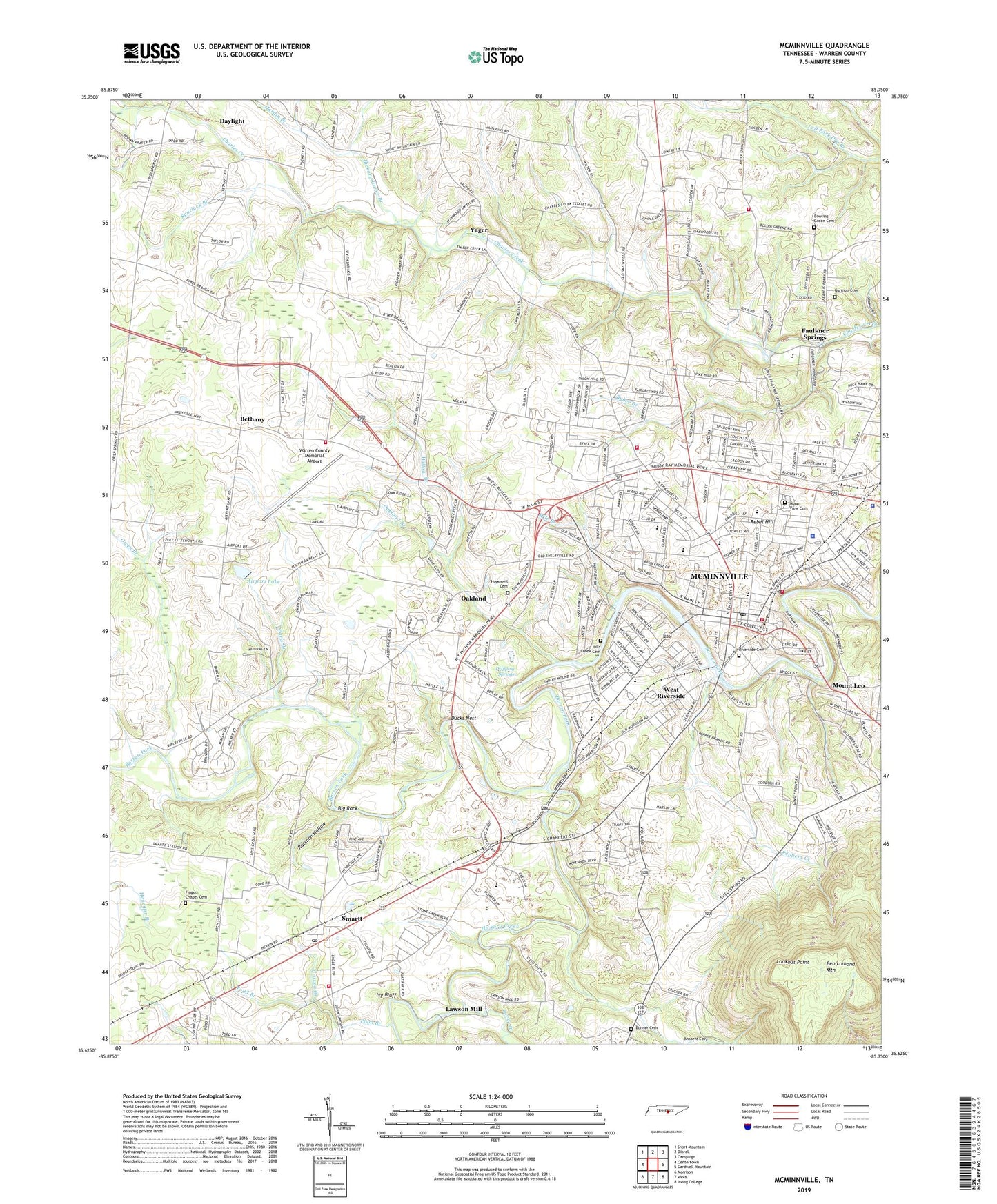
2022 topographic map quadrangle McMinnville in the state of Tennessee. Scale: 1:24000. Based on the newly updated USGS 7.5' US Topo map series, this map is in the following counties: Warren. The map contains contour data, water features, and other items you are used to seeing on USGS maps, but also has updated roads and other features. This is the next generation of topographic maps. Printed on high-quality waterproof paper with UV fade-resistant inks.
Quads adjacent to this one:
West: Centertown
Northwest: Short Mountain
North: Dibrell
Northeast: Campaign
East: Cardwell Mountain
Southeast: Irving College
South: Viola
Southwest: Morrison
This map covers the same area as the classic USGS quad with code o35085f7.
Contains the following named places: Airport Lake, Airport Lake Dam, Antioch Church, Arlington Church, Ben Lomond Mountain, Bennett Cove, Bernard School, Bethany, Bethany Church of Christ, Bethany School, Bethlehem Church, Big Rock, Bonner Cemetery, Bonner Church, Bowling Green Cemetery, Bowling Green Church, Braggs Mill, Bybee Branch, Bybee Branch School, Calvary Baptist Church, Centertown Community Volunteer Fire Department Station 2, Central Church of Christ, Christ United Methodist Church, City of McMinnville, Clarks Mill, Commissioner District 1, Commissioner District 2, Commissioner District 3, Commissioner District 6, Craven Branch, Crowfoot Branch, Cummingsville School, Daly Mill, Daylight, Dottie West Park, Dripping Springs, Ducks Nest, East End Church of Christ, East End Drive Church of Christ, Faulkner Springs, Faulkners Chapel United Methodist Church, Finger Chapel Cemetery, Fingers Chapel School, First United Methodist Church, Garmon Family Cemetery, Gribble Memorial School, Hardin Branch, Hickory Creek, Hickory Grove Branch, Hickory Grove School, Hills Creek Cemetery, Hilltop Hog Farm, Hopewell Cemetery, Ivy Bluff, Lawson Mill, Liberty Church, Locke Branch, Lookout Point, Madison Street Baptist Church, McMinnville, McMinnville City Hall, McMinnville Congregational Methodist Church, McMinnville Division, McMinnville Fire Department Station 1, McMinnville Fire Department Station 2, McMinnville First Baptist Church, McMinnville First Presbyterian Church, McMinnville Plaza Shopping Center, McMinnville Police Department, McMinnville Post Office, McMinnville Water Supply Dam, McMinnville Water Supply Lake, Mile Branch, Morrison Fire and Rescue Department Station 1, Mount Leo, Mount Leo Church of Christ, Mount View Cemetery, North Warren Volunteer Fire Department Station 2, Northgate Shopping Center, Northside School, Oakland, Oakland Branch, Oakland School, Owen Branch, Paris Branch, Peppers Creek, Plum Branch, Raccoon Hollow, Rebel Hill, Riverside Cemetery, Saint Matthews Episcopal Church, Smartt, Smartt Post Office, Spurlock Branch, Temple Baptist Church, Todd Branch, Two Feathers Bison Ranch, WAKI-AM (McMinnville), Warren County, Warren County Courthouse, Warren County Fairgrounds, Warren County High School, Warren County Home, Warren County Junior High School, Warren County Memorial Airport, Warren County Rescue Squad, Warren County Sheriff's Department, Wayside, Wayside School, WBMC-AM (McMinnville), WBMC-FM (McMinnville), West Elementary School, West Riverside, West Riverside Church of Christ, Westside Baptist Church, Westwood Church, William Biles Elementary School, Willow Branch, Yager


