MyTopo
Oneida North Tennessee US Topo Map
Couldn't load pickup availability
Also explore the Oneida North Forest Service Topo of this same quad for updated USFS data
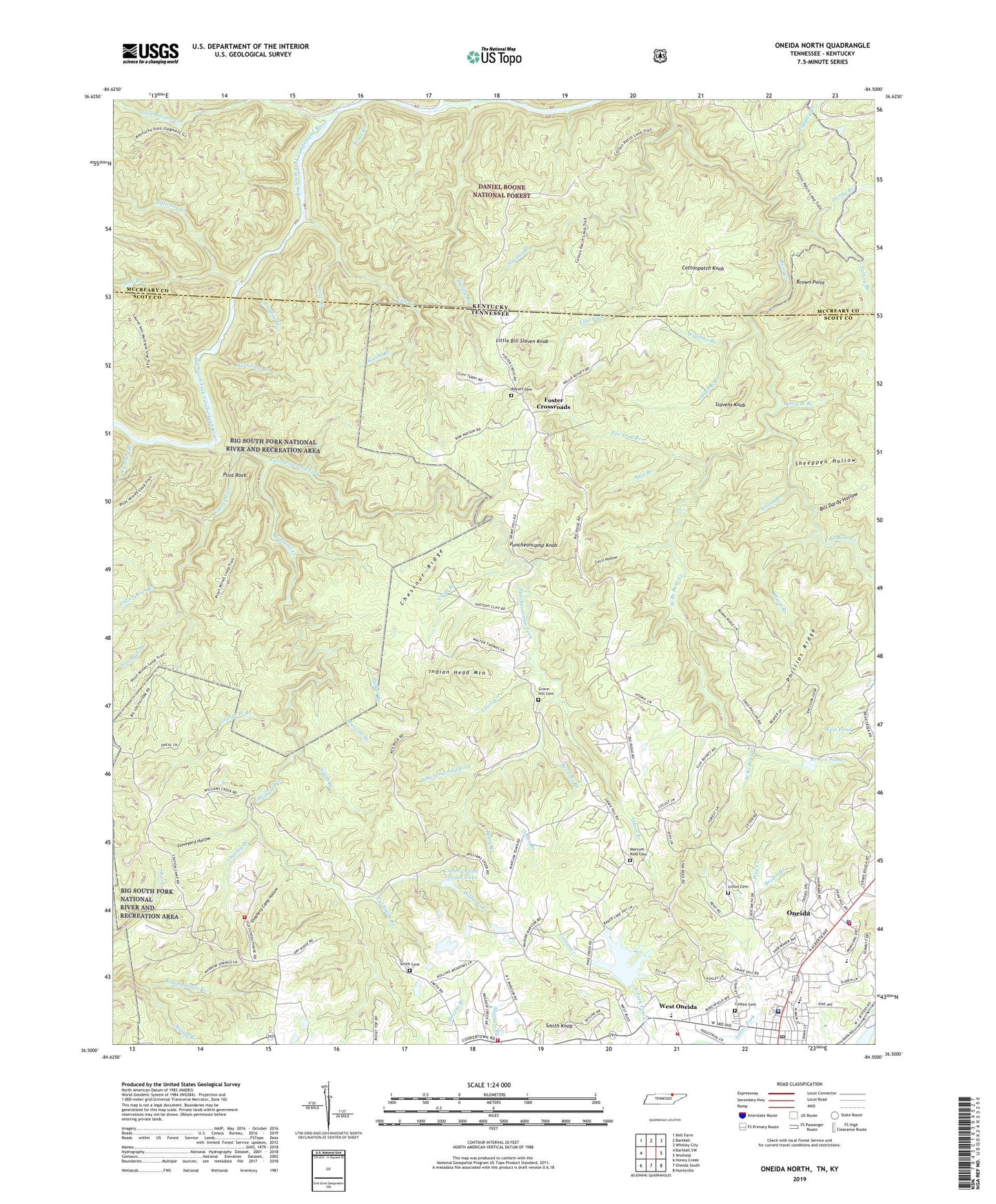
2022 topographic map quadrangle Oneida North in the states of Tennessee, Kentucky. Scale: 1:24000. Based on the newly updated USGS 7.5' US Topo map series, this map is in the following counties: Scott, McCreary. The map contains contour data, water features, and other items you are used to seeing on USGS maps, but also has updated roads and other features. This is the next generation of topographic maps. Printed on high-quality waterproof paper with UV fade-resistant inks.
Quads adjacent to this one:
West: Barthell SW
Northwest: Bell Farm
North: Barthell
Northeast: Whitley City
East: Winfield
Southeast: Huntsville
South: Oneida South
Southwest: Honey Creek
This map covers the same area as the classic USGS quad with code o36084e5.
Contains the following named places: Abre Branch, Annie Branch, Anse Branch, Atomic School, Beaty Branch, Bee Tree Branch, Bethlehem Baptist Church, Big South Fork Medical Center, Bill Dardy Hollow, Boyatt Cemetery, Bradley Branch, Brown Branch, Brown Point, Brown Pond, Burchfield Elementary School, Cal Smith Branch, Cecil Hollow, Charley Branch, Chestnut Ridge, Clear Branch, COF Park Service Office, Coffee Cemetery, Commissioner District 6, Conservation League Dam, Conservation League Lake, Cotton Creek, Cottonpatch Branch, Cottonpatch Knob, Cow Branch, Crooked Branch, Crossroads Church, Cub Branch, Dardy Branch, Difficulty Creek, East Branch Bear Creek, Foster Cross Roads School, Foster Crossroads, Fox Trap Branch, George West Branch, Grassy Fork, Grave Hill Cemetery, Grave Hill Church, Green Branch, Howard H Baker Senior Lake, Huling Branch, Hurricane Branch, Indian Head Mountain, Indian Rock Branch, Jerry West Branch, Lewis Creek, Line Fork, Little Bill Slaven Knob, Litton Cemetery, Litton Fork, Lone Cliff Branch, Mandy Branch, Marcum - Kidd Cemetery, Marcum Branch, Odum Branch, Oil Well Branch, Oneida Division, Oneida Fire Department, Oneida First Baptist Church, Oneida High School, Oneida Police Department, Oneida Post Office, Oneida Rescue Squad, Parker Branch, Phillips Ridge, Pilot Rock, Pine Creek, Pine Creek Church, Pine Creek Number Four Dam, Previt Branch, Puncheoncamp Fork, Puncheoncamp Knob, Roberta, Scythe Branch, Seventh District Volunteer Fire Department, Sexton Branch, Sheeppen Hollow, Shepherd Camp Hollow, Slaven Knob Lookout Tower, Slavens Branch, Slavens Creek, Slavens Knob, Smith Branch, Smith Cemetery, Smith Knob, Staveyard Hollow, Stevens Branch, Sunbright Area Volunteer Fire Department, Tappley Branch, Town of Oneida, Troublesome Creek, Turkey Branch, Watson Branch, West Branch Bear Creek, West Oneida, West Pond, Williams Branch, Williams Creek, Williams Creek School, ZIP Code: 37841


