MyTopo
Oneida South Tennessee US Topo Map
Couldn't load pickup availability
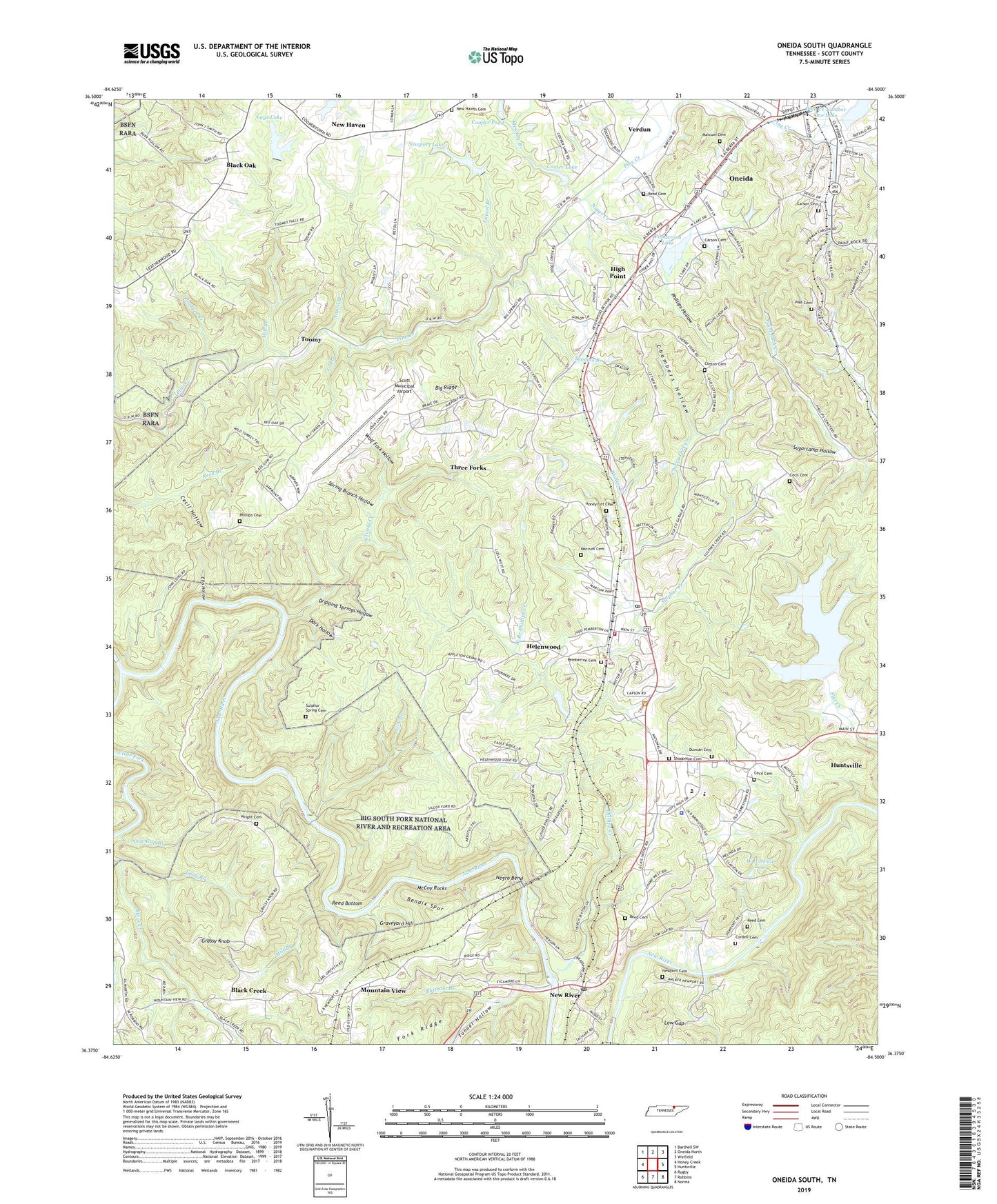
2022 topographic map quadrangle Oneida South in the state of Tennessee. Scale: 1:24000. Based on the newly updated USGS 7.5' US Topo map series, this map is in the following counties: Scott. The map contains contour data, water features, and other items you are used to seeing on USGS maps, but also has updated roads and other features. This is the next generation of topographic maps. Printed on high-quality waterproof paper with UV fade-resistant inks.
Quads adjacent to this one:
West: Honey Creek
Northwest: Barthell SW
North: Oneida North
Northeast: Winfield
East: Huntsville
Southeast: Norma
South: Robbins
Southwest: Rugby
This map covers the same area as the classic USGS quad with code o36084d5.
Contains the following named places: Ails Branch, Bendix Spur, Big Ridge, Black Creek, Black Creek School, Black Oak, Buttram Branch, Carson Cemetery, Carter Dam, Carter Lake, Cecil Cemetery, Cecil Hollow, Chambers Hollow, Cherry Fork Creek, Cherry Fork School, Clear Fork, Commissioner District 4, Cooper Pond, Cordell Cemetery, Cotton Cemetery, Crossroads Church, Dark Hollow, Dripping Springs Hollow, Duncan Cemetery, Ellis Hollow, Fork Ridge, Grassy Knob, Grassy Knob Lookout Tower, Graveyard Hill, Greasy Creek, Hazel Valley Church, Helenwood, Helenwood Baptist Church, Helenwood Census Designated Place, Helenwood Post Office, Helenwood School, High Point, High Point Baptist Church, Honeycutt Cemetery, Huntsville Division, Laurel Branch, Lays Dam, Lays Lake, Lick Branch, Long Branch, Low Gap, Low Gap Branch, Low Gap Church, Marcum Cemetery, McCoy Rocks, Meadow Branch, Mid - County Volunteer Fire Department, Mill Branch, Mountain View, Mountain View Baptist Church, Nance Branch, Negro Bend, New Haven, New Haven Baptist Church, New Haven Cemetery, New River, New River Baptist Church, New River Post Office, New River School, Newport Cemetery, Newport Dam, Newport Lake, Niggs Creek, Niggs Creek School, North Fork Pine Creek, Oneida, Panther Branch, Pemberton Cemetery, Phillips Cemetery, Phillips Creek, Phillips Hollow, Pike Cemetery, Pine Creek Number One Dam, Pine Creek Number One Lake, Ponderosa Lake, Ponderosa Lake Dam, Reed Bottom, Reed Cemetery, Scott County, Scott County Sheriff's Department, Scott Municipal Airport, Shoopmon Cemetery, Silcott Ford, Spring Branch Hollow, Sugarcamp Hollow, Sulphur Creek, Sulphur Spring Cemetery, Sulphur Spring School, Thomas Branch, Three Forks, Toomy, Town of Huntsville, Tunnel Hill School, Tunnel Hollow, Verdun, W H Swain Dam, W H Swain Lake, West Branch Phillips Creek, Wolf Fork Hollow, Wright Cemetery, ZIP Code: 37755


