MyTopo
Barthell SW Tennessee US Topo Map
Couldn't load pickup availability
Also explore the Barthell SW Forest Service Topo of this same quad for updated USFS data
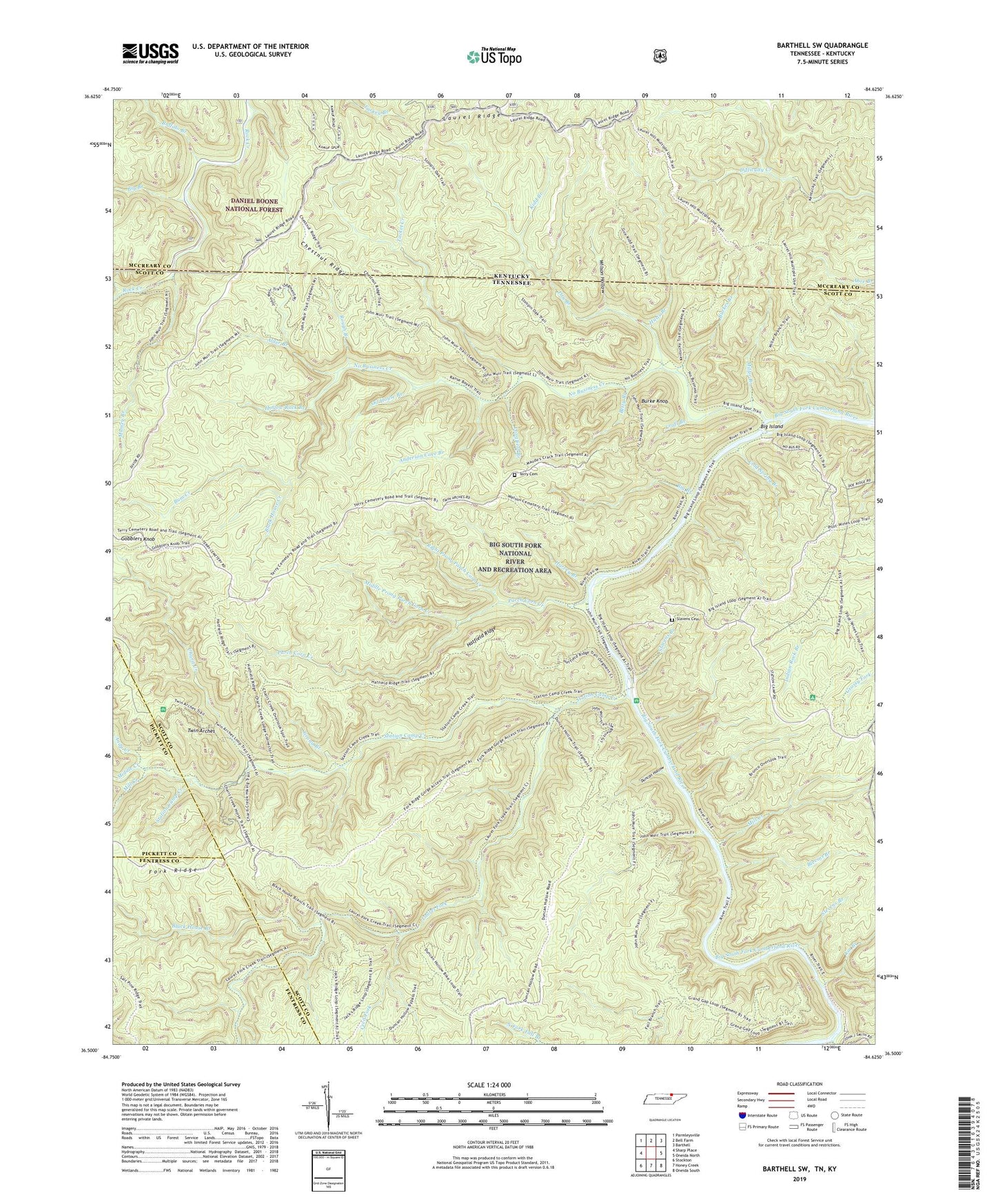
2022 topographic map quadrangle Barthell SW in the states of Tennessee, Kentucky. Scale: 1:24000. Based on the newly updated USGS 7.5' US Topo map series, this map is in the following counties: Scott, McCreary, Fentress, Pickett. The map contains contour data, water features, and other items you are used to seeing on USGS maps, but also has updated roads and other features. This is the next generation of topographic maps. Printed on high-quality waterproof paper with UV fade-resistant inks.
Quads adjacent to this one:
West: Sharp Place
Northwest: Parmleysville
North: Bell Farm
Northeast: Barthell
East: Oneida North
Southeast: Oneida South
South: Honey Creek
Southwest: Stockton
This map covers the same area as the classic USGS quad with code o36084e6.
Contains the following named places: Alder Branch, Anderson Cave Branch, Andy Creek, Betty Branch, Big Branch, Big Island, Big South Fork National River and Recreation Area, Bill Branch, Black House Branch, Black House Creek, Blevins Branch, Buffalo Branch, Bum Creek, Burke Knob, Burkes Branch, Cecil Fork, Charit Creek, Charit Creek Campground, Chestnut Ridge, Cold Spring Branch, Commissioner District 7, Craft Branch, Dry Branch, Duncan Hollow, Elva, Fork Ridge, Gobblers Knob, Grand Branch, Harvey Branch, Hatfield Ridge, Hollow Rock Branch, Hutts Branch, Kidd Branch, Laurel Fork, Laurel Ridge, Lin Branch, Longfield Branch, Massey Branch, Middle Creek, Middle Prong Parch Corn Creek, Mill Creek, Miller Branch, No Business Creek, No Business School, Oil House Branch, Parch Corn Creek, Right Prong Parch Corn Creek, Rough Branch, Rough Shoals Branch, Slavens Branch, Slavens Cemetery, Station Camp Creek, Station Camp School, Stevens Branch, Tacket Creek, Terry Cemetery, Twin Arches, Wilson Hollow


