MyTopo
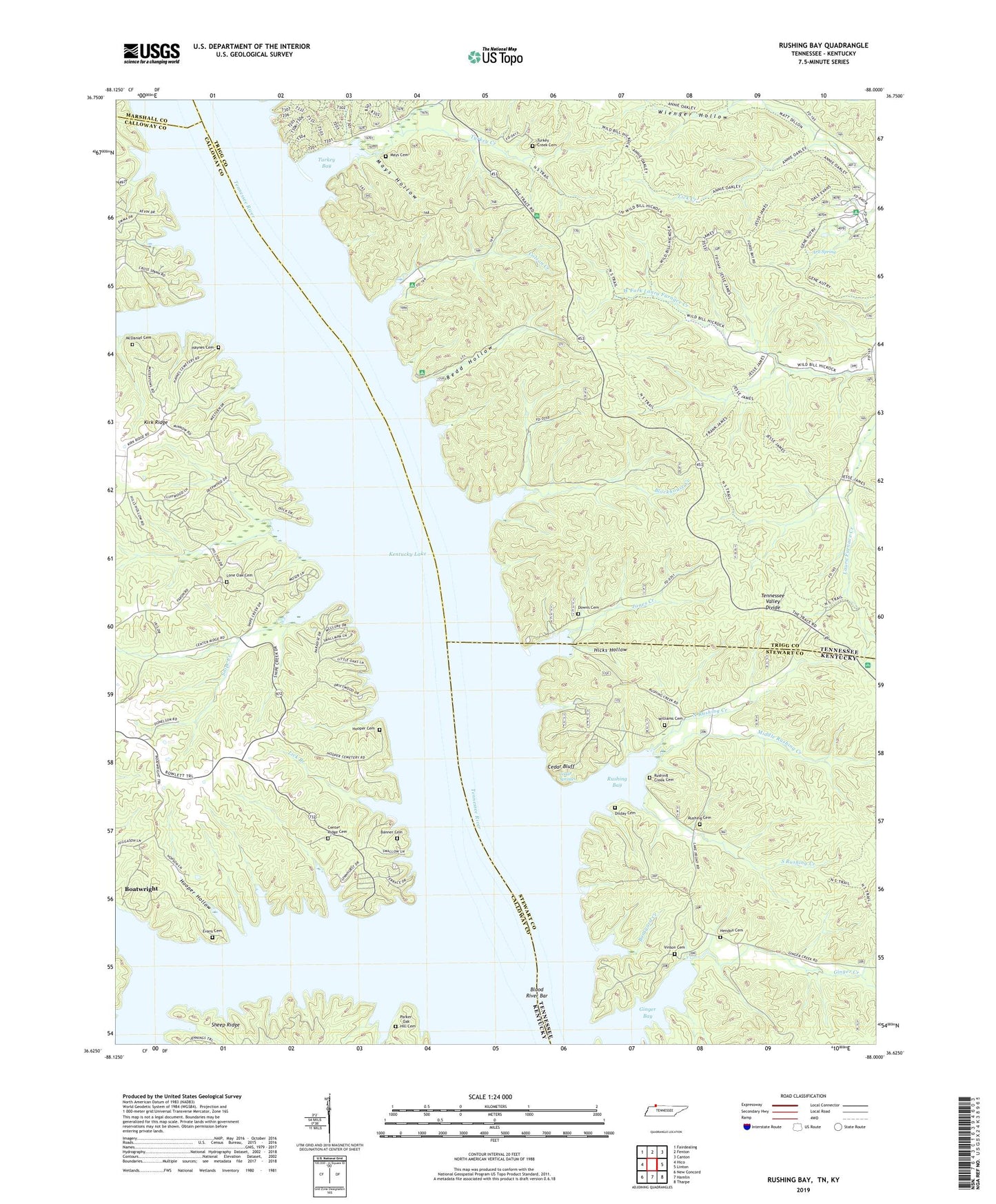
Rushing Bay Tennessee US Topo Map
Couldn't load pickup availability
Also explore the Rushing Bay Forest Service Topo of this same quad for updated USFS data
2022 topographic map quadrangle Rushing Bay in the states of Kentucky, Tennessee. Scale: 1:24000. Based on the newly updated USGS 7.5' US Topo map series, this map is in the following counties: Stewart, Trigg, Calloway, Marshall. The map contains contour data, water features, and other items you are used to seeing on USGS maps, but also has updated roads and other features. This is the next generation of topographic maps. Printed on high-quality waterproof paper with UV fade-resistant inks.
Quads adjacent to this one:
West: Hico
Northwest: Fairdealing
North: Fenton
Northeast: Canton
East: Linton
Southeast: Tharpe
South: Hamlin
Southwest: New Concord
Contains the following named places: Anderson Creek, Arlt Spring, Banner Cemetery, Blockhouse Creek, Blood River, Blood River Bar, Boatwright, Boatyard Creek, Boatyard Landing, Cedar Bluff, Cedar Springs, Center Ridge, Center Ridge Cabin Area, Center Ridge Cemetery, Center Ridge Church, Clyde Landing, Colson Creek, Colson Hollow Overlook, Dilday Cemetery, Dilday Landing, Downs Cemetery, Evans Cemetery, Futrell Store, Ginger Bay, Ginger Creek, Ginger Ridge Back Country Camp, Haynes Cemetery, Hendon Cemetery, Hickory Landing, Hicks Hollow, Hooper Cemetery, Hooper Hollow, Jones Creek, Jones Creek Day Use Area, Kirk Ridge, Land Between the Lakes National Forest, Lick Branch, Lone Oak, Lone Oak Cemetery, Lone Oak Landing, Mays Cemetery, Mays Hollow, McDaniel Cemetery, Middle Rushing Creek, North Fork Turkey Creek, North Rushing Creek, Parker - Oak Hill Cemetery, Redd Hollow, Rushing, Rushing Bay, Rushing Cemetery, Rushing Creek, Rushing Creek Campground, Rushing Creek Cemetery, Sheep Ridge, Snipe Creek, South Rushing Creek, Sugar Creek, Turkey Bay, Turkey Creek, Turkey Creek Cemetery, Vincents Landing, Vinson Cemetery, Vinson Pond, Wienger Hollow, Williams Cemetery


