MyTopo
Shop Springs Tennessee US Topo Map
Couldn't load pickup availability
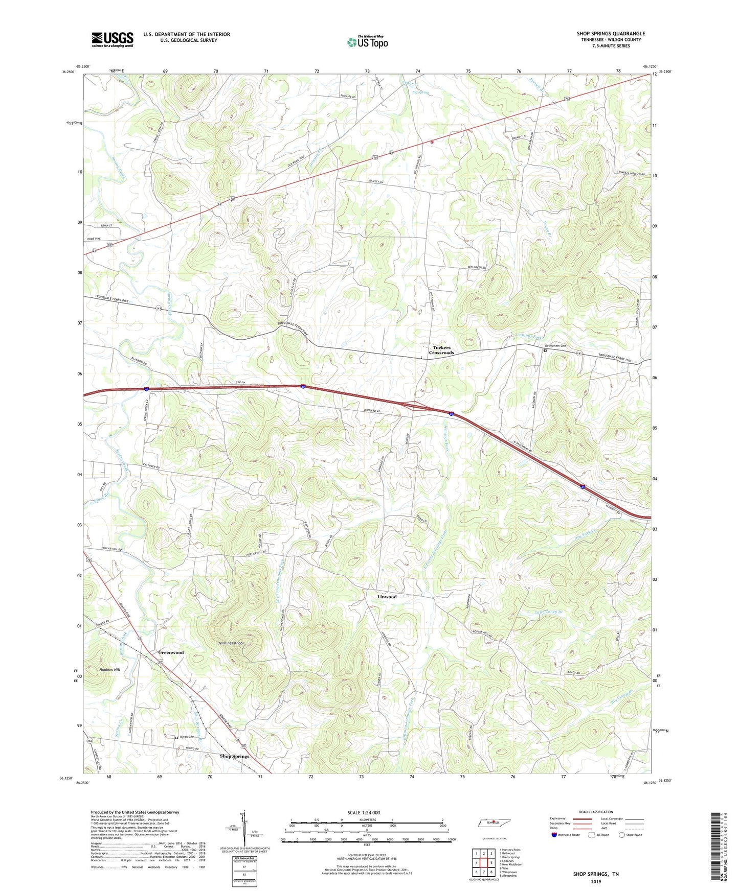
2019 topographic map quadrangle Shop Springs in the state of Tennessee. Scale: 1:24000. Based on the newly updated USGS 7.5' US Topo map series, this map is in the following counties: Wilson. The map contains contour data, water features, and other items you are used to seeing on USGS maps, but also has updated roads and other features. This is the next generation of topographic maps. Printed on high-quality waterproof paper with UV fade-resistant inks.
Quads adjacent to this one:
West: Lebanon
Northwest: Hunters Point
North: Bellwood
Northeast: Dixon Springs
East: New Middleton
Southeast: Alexandria
South: Watertown
Southwest: Vine
Contains the following named places: Bethany Church, Bethlehem Cemetery, Big Spring, Black Branch, Byran Cemetery, Commissioner District 15, Commissioner District 7, Dedman Branch, East Prong Jennings Fork, Greenwood, Grissim Branch, Grissim Church, Jennings Knob, Leemans Corner, Linwood, Linwood Baptist Church, Linwood School, Locust Grove School, New Shiloh Church, Poplar Hill Church, Poplar Hill School, Saulsbury School, Shop Springs, Shop Springs Baptist Church, Shop Springs Branch, Shop Springs School, Spring Creek, Sugar Flat School, Tuckers Crossroads, Tuckers Crossroads Census Designated Place, Tuckers Crossroads Elementary School, West Prong Jennings Fork, Wilson Emergency Management Agency Station 8, Zion Church