MyTopo
Sneedville Tennessee US Topo Map
Couldn't load pickup availability
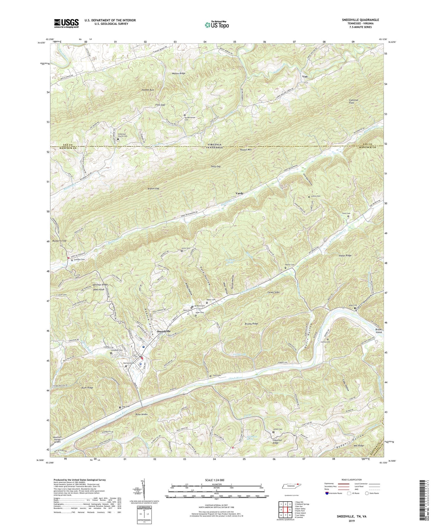
2022 topographic map quadrangle Sneedville in the states of Tennessee, Virginia. Scale: 1:24000. Based on the newly updated USGS 7.5' US Topo map series, this map is in the following counties: Hancock, Lee, Hawkins. The map contains contour data, water features, and other items you are used to seeing on USGS maps, but also has updated roads and other features. This is the next generation of topographic maps. Printed on high-quality waterproof paper with UV fade-resistant inks.
Quads adjacent to this one:
West: Back Valley
Northwest: Rose Hill
North: Hubbard Springs
Northeast: Ben Hur
East: Kyles Ford
Southeast: Camelot
South: Lee Valley
Southwest: Swan Island
Contains the following named places: Alder Cemetery, Alder Chapel School, Alder Hollow, Baker Cemetery, Blackwater School, Brooks Ford, Brooks Island, Brushy Ridge, Bryson Gap, Campbell Cemetery, Caney Sinks, Cave Gap Hollow, Cedar Grove Church, Chestnut Flats, Chestnut Ridge Volunteer Fire Department, Civilian Conservation Corps Camp Number 26, Clinch River School, Cody Hollow, Collins Cemetery, Commissioner District 3, Commissioner District 6, Curry Branch, Dark Hollow, Davis Cemetery, Davis Hollow, De Bord Cemetery, Dry Branch, Dry Branch School, Duck Creek, East Fork Duck Creek, East Fork Panther Creek, Fall Branch, Fall Branch Spring, Farmers Branch, Ferguson Chapel School, Fitts Gap, Frost Ford, Gap Church, Garland Hollow, Goins Cemetery, Gollihon Cemetery, Greasy Rock Creek, Green Cemetery, Greenleaf Church, Greenleaf Church Cemetery, Hancock Central Elementary School, Hancock County, Hancock County Ambulance Service, Hancock County Courthouse, Hancock County Hospital, Hancock County Rescue Squad, Hancock County Sheriff's Office, Hancock High School, Harrison Cemetery, Horton Hollow, Howard Pond, Jabez Knob, Lone Branch, Lone Branch Church, Lone Branch School, Martin Cemetery, Miser Hollow, Mount Merriman Church, Mount Washington School, Mulberry Gap, Newman Ridge, Panther Creek, Phoebe Butt, Pondale School, Possumtrot Branch, Pressmens Flume, Pressmens Home Power Plant, Prospect School, Rabeck Hollow, Rhea Branch, Richardson Creek, Ringy Hollow, River Knobs, River Ridge, Riverside Church, Rodgers Hollow, Sally Gap, Sandy Flat School, Seal Cemetery, Simpson School, Sneedville, Sneedville Division, Sneedville First Baptist Church, Sneedville Post Office, Sneedville Volunteer Fire Department, Snodgrass Ford, Stony Gap School, Thompson Mill, Thompson Settlement Church, Town of Sneedville, Trent Cemetery, Van, Vanderventer Cemetery, Vardy, Vardy / Blackwater Volunteer Fire Department, Vardy Community School, Vardy School Community Historic District, West Fork Duck Creek, West Fork Panther Creek, ZIP Code: 37869