MyTopo
Thurman Tennessee US Topo Map
Couldn't load pickup availability
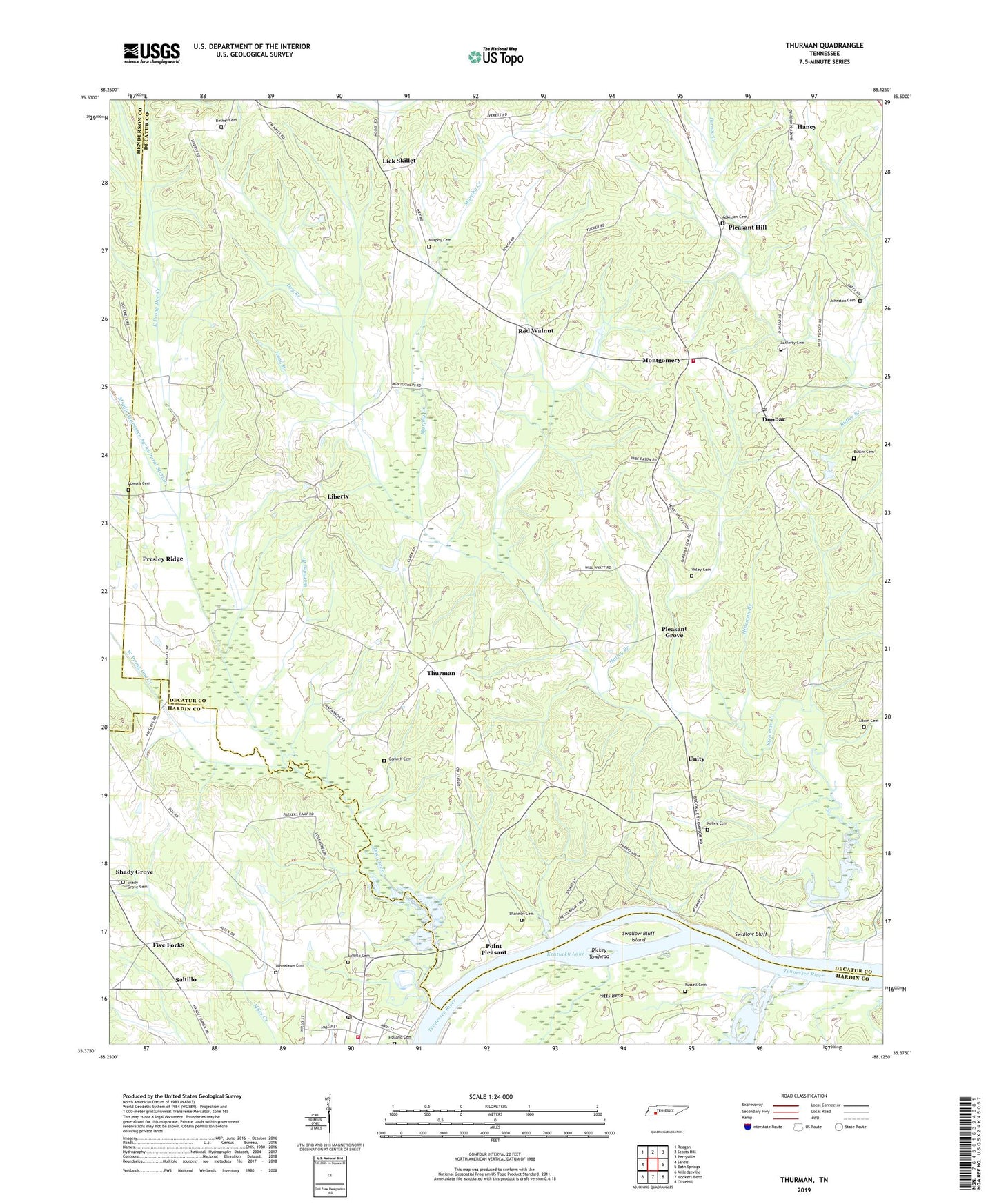
2022 topographic map quadrangle Thurman in the state of Tennessee. Scale: 1:24000. Based on the newly updated USGS 7.5' US Topo map series, this map is in the following counties: Decatur, Hardin, Henderson. The map contains contour data, water features, and other items you are used to seeing on USGS maps, but also has updated roads and other features. This is the next generation of topographic maps. Printed on high-quality waterproof paper with UV fade-resistant inks.
Quads adjacent to this one:
West: Sardis
Northwest: Reagan
North: Scotts Hill
Northeast: Perryville
East: Bath Springs
Southeast: Olivehill
South: Hookers Bend
Southwest: Milledgeville
This map covers the same area as the classic USGS quad with code o35088d2.
Contains the following named places: Adkisson Cemetery, Altom Branch, Altom Cemetery, Barber Branch, Bath Springs Post Office, Bath Springs School, Bear Branch, Bell Branch, Bethel Cemetery, Buck Branch, Buckeye Branch, Butler Cemetery, Carter Branch, Center School, Centerview School, Cody Branch, Colbert Branch, Commissioner District 2, Corinth Branch, Corinth Cemetery, Corinth Church, Decatur County Volunteer Fire Department Station 2, Dickey Landing, Dickey Towhead, Doe Creek, Doe Creek Church, Doe Creek School, Double Bridges, Dry Branch, Dunbar, East Prong Doe Creek, Five Forks, Gilbert Branch, Hailey Branch, Haney, Haney School, Hardin County Fire Department / Emergency Management District 1 Station 1, Hineman Branch, Hoad Branch, Holland Branch, Holland Cemetery, Indian Creek, Johnston Cemetery, Keeton Springs Church, Kelley Cemetery, Ladins Landing, Lafferty Cemetery, Laster Branch, Liberty, Liberty Church, Liberty School, Lick Skillet, Lincoln School, Little Creek, Lowery Cemetery, Middle Prong Doe Creek, Middle Tennessee Agricultural Station, Mile Branch, Montgomery, Montgomery Branch, Morningview Church, Murphy Cemetery, Murphy Creek, North Prong Stewman Creek, Old Dunbar, Pleasant Grove, Pleasant Grove Church, Pleasant Hill, Pleasant Hill United Methodist Church, Point Pleasant, Point Pleasant Landing, Presley Ridge, Red Walnut, Russell Cemetery, Saint Marys Church, Saltillo, Saltillo Cemetery, Saltillo Elementary School, Saltillo Fire Department District 1, Saltillo Landing, Saltillo Marina, Saltillo Post Office, Shady Grove, Shady Grove Cemetery, Shady Grove Church, Shannon Cemetery, Shelby Pond, Stanfield Branch, Stewman Creek, Swallow Bluff, Swallow Bluff Island, Swallow Bluff Landing, Tanyard Branch, Thurman, Thurman Creek, Thurman School, Town of Saltillo, Tucker Branch, Union Hall, Union Hall School, Unity, Unity Church, Unity School, West Prong Doe Creek, Whetstone Branch, Whitelawn Cemetery, Wiley Cemetery, Wilkinson Pond Slough, Wormley Branch, Wyatt Landing, ZIP Code: 38370


