MyTopo
Union Hill Tennessee US Topo Map
Couldn't load pickup availability
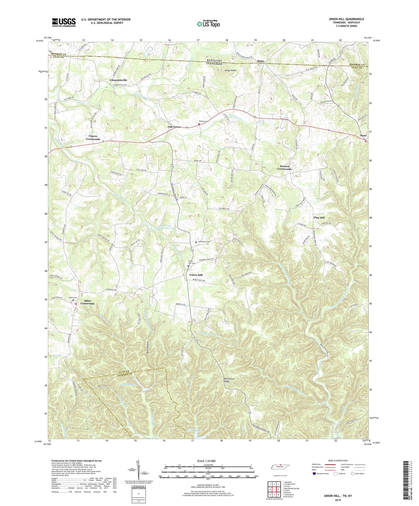
2022 topographic map quadrangle Union Hill in the states of Tennessee, Kentucky. Scale: 1:24000. Based on the newly updated USGS 7.5' US Topo map series, this map is in the following counties: Clay, Monroe, Jackson. The map contains contour data, water features, and other items you are used to seeing on USGS maps, but also has updated roads and other features. This is the next generation of topographic maps. Printed on high-quality waterproof paper with UV fade-resistant inks.
Quads adjacent to this one:
West: Red Boiling Springs
Northwest: Gamaliel
North: Tompkinsville
Northeast: Vernon
East: Celina
Southeast: Burristown
South: Whitleyville
Southwest: Willette
This map covers the same area as the classic USGS quad with code o36085e6.
Contains the following named places: Bird Hollow, Boles, Brannon Creek, Brays Knob, Brimestone School, Brimstone Church, Campground Church, Cherry Crossroads, Clementsville, Clementsville Church of Christ, Commissioner District 1, Commissioner District 2, Cove Creek, Denton Crossroads, Eminence School, Hermitage Springs Division, Hurricane Creek, Jennings Creek Watershed Dam Number Five, Jennings Creek Watershed Dam Number Six, Jonestown Cemetery, Lake Number Five, Lake Number Six, Laurel Bluff School, Left Fork Brimstone Creek, Line Creek Lake Number Three B, Line Creek Watershed Dam Number Three B, Little Brimstone Creek, McCormick Ridge, Miles Cemetery, Miles Crossroads, Milestown Church of Christ, Mount Vernon Charity Tabernacle, Mount Vernon Church, Mount Vernon School, Mount Vernon Volunteer Fire Department, Oak Grove, Oak Grove Church of Christ, Oak Grove School, Pide Branch, Pine Hill, Pine Hill Church of Christ, Pine Hill School, Pitcock Cemetery, Ridge Top Farm, Right Fork Brannon Creek, Right Fork Brimstone Creek, Running Late Poultry Farm, Smith's Poultry Farms, Sweetwater Creek, Union Hill, Union Hill Cemetery, Union Hill Church of Christ, Union Hill Community Center, Union Hill School, Wesleyan Church, ZIP Code: 38575


