MyTopo
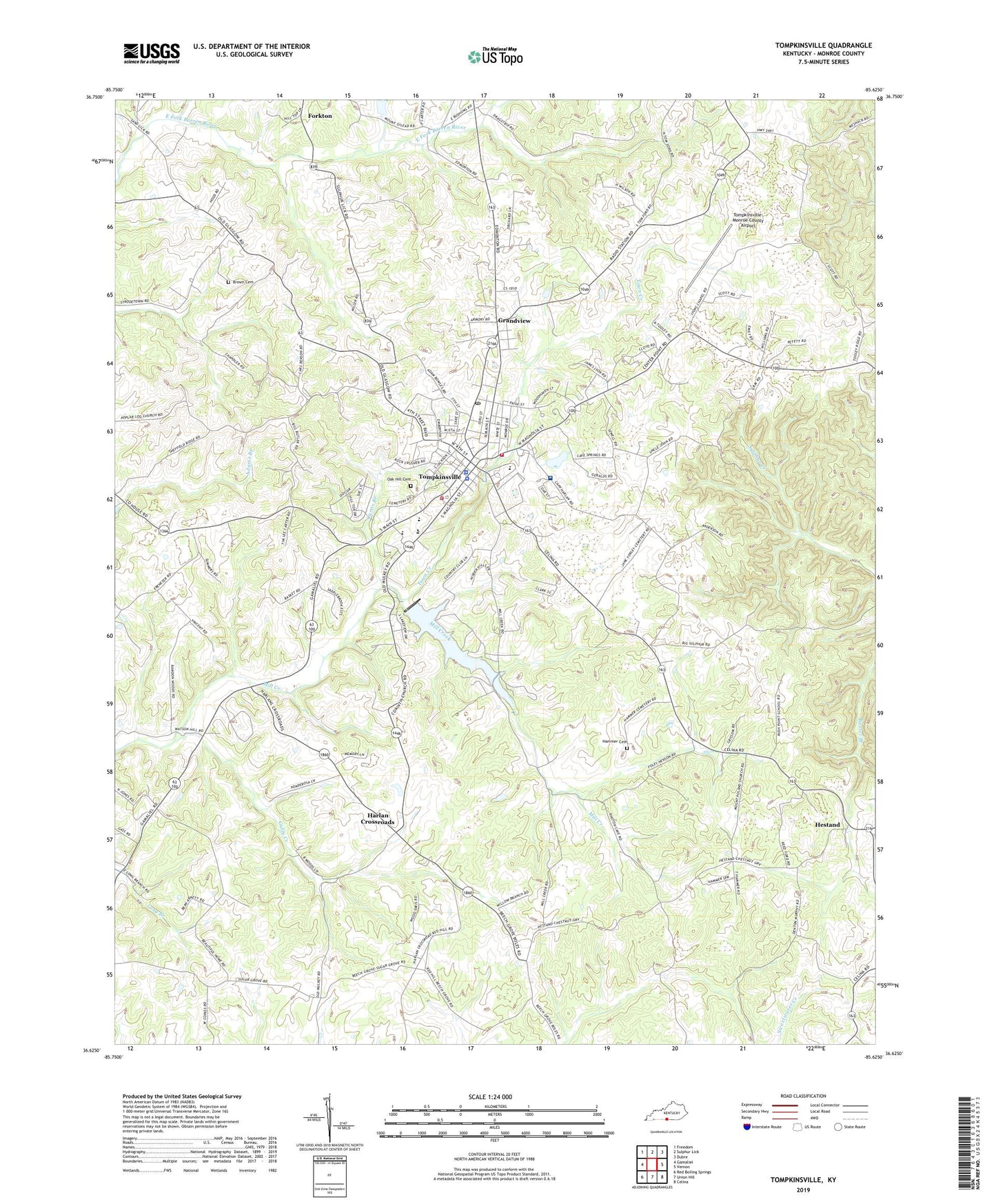
Tompkinsville Kentucky US Topo Map
Couldn't load pickup availability
2022 topographic map quadrangle Tompkinsville in the state of Kentucky. Scale: 1:24000. Based on the newly updated USGS 7.5' US Topo map series, this map is in the following counties: Monroe. The map contains contour data, water features, and other items you are used to seeing on USGS maps, but also has updated roads and other features. This is the next generation of topographic maps. Printed on high-quality waterproof paper with UV fade-resistant inks.
Quads adjacent to this one:
West: Gamaliel
Northwest: Freedom
North: Sulphur Lick
Northeast: Dubre
East: Vernon
Southeast: Celina
South: Union Hill
Southwest: Red Boiling Springs
This map covers the same area as the classic USGS quad with code o36085f6.
Contains the following named places: Athens Church, Beech Grove Church, Berea Church, Brown Cemetery, Bushong, Cave Spring School, Chestnut Grove School, City of Tompkinsville, Corinth Church, Court House Burnings Historical Marker, Curtis Branch, Forkton, Freedom Church, Grandview, Gully Creek, Gully Creek Church, Hammer Cemetery, Harlan Crossroads, Hestand, Hickory Grove School, Liberty School, Lyon School, Lyons Chapel, Monroe Church, Monroe County, Monroe County Ambulance Service, Monroe County Fire and Rescue, Monroe County Historical Marker, Monroe County Medical Center, Monroe County Sheriff's Office, Moores Mill, Moores Mill Historical Marker, Morgans First Raid Historical Marker, Mount Gilead, Mount Poland Church, Mount Zion School, Oak Hill Cemetery, Old Berea Church, Old Mount Hermon School, Old Mulkey Church Historical Marker, Old Mulkey Meeting House State Park, Poplar Log Missionary Baptist Church, Poplar Log School, Red Hill School, Rush Point School, Sand Lick School, Sugar Grove School, Tinsley Hill School, Tompkinsville, Tompkinsville Division, Tompkinsville Police Department, Tompkinsville Post Office, Tompkinsville Volunteer Fire Department, Tompkinsville-Monroe County Airport, Town Creek, WTKY-AM (Tompkinsville), WTKY-FM (Tompkinsville), ZIP Code: 42167


