MyTopo
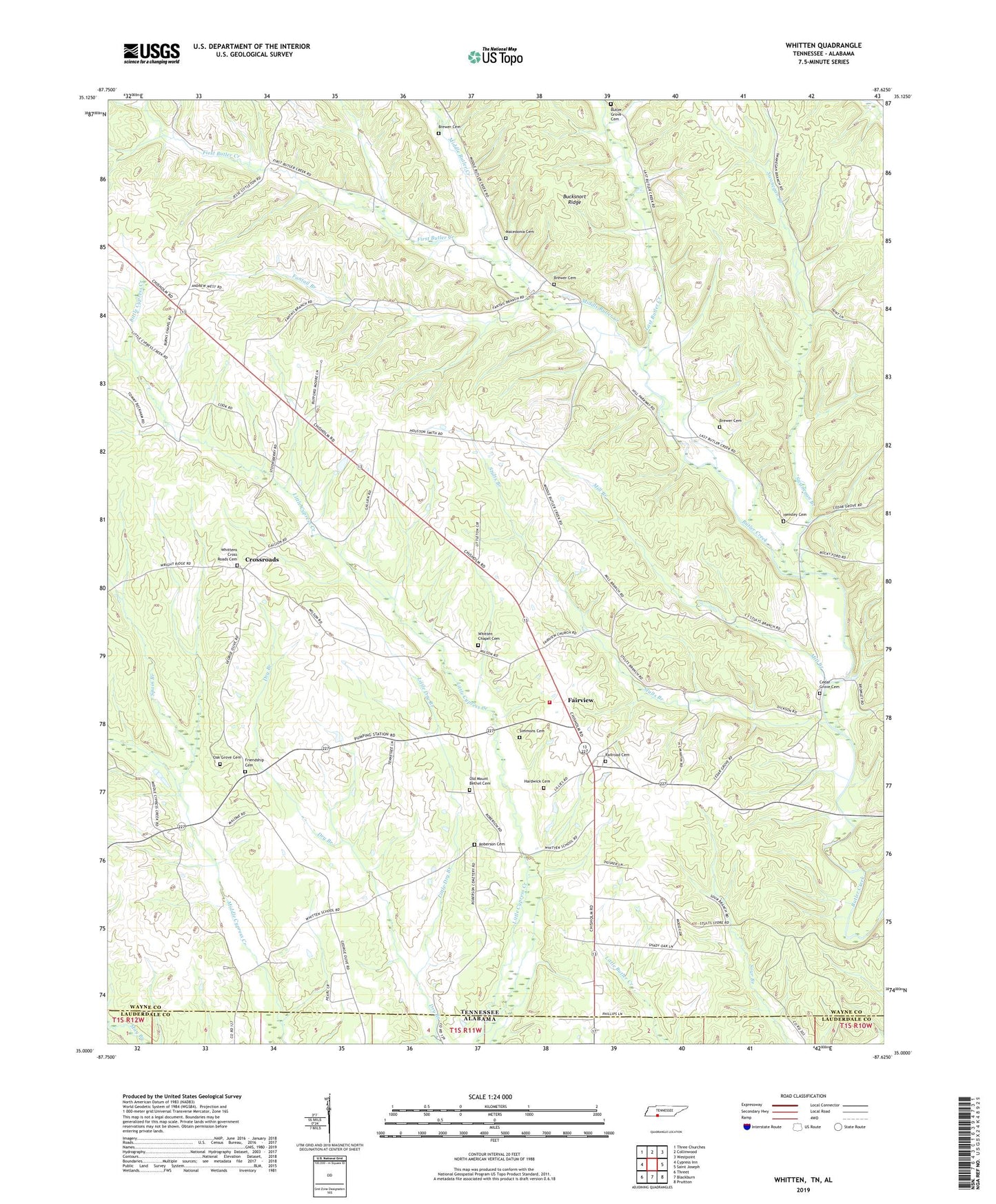
Whitten Tennessee US Topo Map
Couldn't load pickup availability
2022 topographic map quadrangle Whitten in the state of Tennessee. Scale: 1:24000. Based on the newly updated USGS 7.5' US Topo map series, this map is in the following counties: Wayne, Lauderdale. The map contains contour data, water features, and other items you are used to seeing on USGS maps, but also has updated roads and other features. This is the next generation of topographic maps. Printed on high-quality waterproof paper with UV fade-resistant inks.
Quads adjacent to this one:
West: Cypress Inn
Northwest: Three Churches
North: Collinwood
Northeast: Westpoint
East: Saint Joseph
Southeast: Pruitton
South: Blackburn
Southwest: Threet
This map covers the same area as the classic USGS quad with code o35087a6.
Contains the following named places: Brewer Cemetery, Burns Chapel, Butler Grove Cemetery, Butler School, Cedar Grove Baptist Church, Cedar Grove Cemetery, Cedar Grove School, Commissioner District 6, Crossroads, Crossroads Church, Crossroads School, Fairview, Fairview Church, Fairview Church of Christ, Fairview School, Fantail Branch, First Butler Creek, Friendship Cemetery, Friendship School, Hardwick Cemetery, Hensley Cemetery, Last Butler Creek, Light, Little Dry Branch, Littrell-White Prospect, Lull Mine, Macedonia Cemetery, Macedonia Church, Middle Butler Creek, Mill Branch, Oak Grove Baptist Church, Oak Grove Cemetery, Old Mount Bethel Cemetery, Old Mount Bethel Methodist Church, Pleasant Springs Church, Pleasant Valley, Railroad Cemetery, Roberson Cemetery, Robertson School, Robinson Mine, Simmons Cemetery, Southgate Volunteer Fire Department, Spain Branch, Star, State Line Church, Stults Branch, Stults Prospect, Swanegan Branch, Sweaney School, Whitten Chapel Cemetery, Whitten Farms, Whitten School, Whittens Cross Roads Cemetery, ZIP Code: 38463


